The Great Middlesex Forest
This walk is to the west of the district and the route uses footpaths through North Enfield and South Hertfordshire, some of which are numbered. Parts of the walk use the London Outer Orbital Path (London Loop) and also the Hertfordshire Way. Much of this walk takes me through the heartlands of what was once a Royal Deer park known as the Royal Enfield Chase in the great forest of Middlesex which bordered Epping forest to the west. The forest covered most of the county of Middlesex and stretched south to Houndsditch in the City of London. This was very much like our own Epping forest with an equally rich history and similar historic conflicts between the Lords of the manors and commoners of the forest, leading to riots which took military action to suppress. Most of us are familiar with the history of Epping forest as a Royal hunting forest, but it was by no means the only one of its kind. The southern half of this walk takes me all the way down to the edge of Trent Park where remnants of the great Middlesex forest remain and the northern half of the walk takes me outside the M25 motorway to the beautiful old world village of Northaw halfway between Potters Bar and Cuffley, which was once on the northern edge of the Royal Enfield Chase.
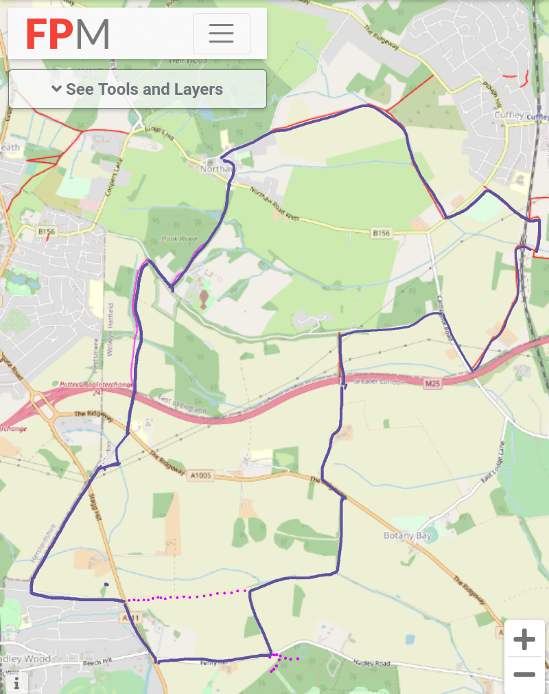
Ordnance survey map credit to footpathmap.co.uk
https://footpathmap.co.uk/map/?zoom=13.454311892190459&lng=-0.12408&lat=51.69388
The Royal Enfield Chase
What was once the Royal Deer park in the former Middlesex forest is now vast open swathes of countryside and valleys to the north and south of the Enfield Ridgeway. Many of these valleys carry brooks and streams which form minor tributaries to the river Lea in the east. Some of the hills around the edges of these valleys are more than 200 metres above sea level. The great Middlesex forest in its entirety provided enough autumn feeding for over 20,000 Swine. The first mention of a Deer park at Enfield appears in the 11th century. Elizabeth 1st, Henry VIII, Edward VI and James 1st all held hunts at what was the Royal Enfield Chase. There are many parallels and similarities with Epping forest here. This was also considered the forest of the people of London and as far back as the 11th century local people claimed commoners rights on the land. The manor of Enfield for hundreds of years had belonged to the De Mandeville family (Earl of Essex) and then the De Bohun family (Earl of Hereford). These names are still prominent in Enfield and Southgate with schools and streets among places named De Bohun and Mandeville in reference to the families. Southgate itself was the South Gate into the forest, much like our own Forest Gate was to Epping forest.
Records from the 12th century show that Oak trees from this forest were felled as building materials for Royal households in Westminster by Henry III. Enfield Chase was referred to as ‘Enefeld Chacee’ in 1325 and ‘Chace of Enefelde’ in 1373, by the 15th century it appears in records as ‘Endefelde Chace’. In Middle English the word Chace meant ‘a tract of ground for the breeding and hunting of wild animals’. Records from 1596 show there were no less than 3000 Deer here. From the 16th century there are records of serious unrest with commoners rioting against inclosures which required military intervention to bring under control. In 1777 the Royal hunting ground ceased to exist at the drawing up of the Enfield Chase Act which allowed each parish to set out their own rules and orders, with some being given common land to compensate their loss of commoners rights on the former Chase. The Royal Enfield Chase was then divided up between various authorities, after which it was extensively deforested.
The Minchenden Oak
Many pockets of the original forest of Middlesex can still be found in various public parks and open spaces throughout North London. A number of veteran trees survive around Enfield which now stand in isolation, the great forest which once surrounded them long since removed. One such tree is the Minchenden Oak which appears in the Doomsday Book. This magnificent relic sits in the walled garden at the rear of Christ Church on Southgate Green. Thought to be among the largest trees in London and oldest in England, the Minchenden Oak at almost 900 years old pre dates the Magna Carta. This tree was described as having the widest canopy of any tree in England at over 130 feet and a girth of more than 27 feet, the canopy of the Major Oak of Sherwood Forest being a mere 92 feet. Before Southgate became a part of the London Borough of Enfield, its coat of arms featured the Minchenden Oak alongside a motto in Latin which reads ‘Ex Glande Quercus’ (from Acorn to Oak). The local primary school also uses the tree as its logo. Today the Oak has undergone much preservation work to reduce its weight and remove decay to extend its life and during recent conservation work a seedling from this very tree was planted nearby to continue its incredible legacy.
Hadley Wood
I start and end the walk in Hadley Wood in the South West corner of what was once the Royal Enfield Chase hunting ground, close to the border with Hertfordshire. This was originally a Hermitage founded by the Earl of Essex in the 11th century within the Royal Chase grounds which became one of the first recorded settlements here. In later records the names Monken Hadley and Monkenchurch (land granted to Monks) appear. The name Hadley is believed to be old English for ‘clearing in a wood’, the village itself would have grown on the edge of the hunting ground on a plateau.
Hadley Common to the West is a remnant of the Royal Enfield Chase and was alloted to commoners as compensation after the Enfield Chase Act brought about the inclosure of the Chase itself. The act gave new powers to parishes and anyone owning more than 3 acres of land had grazing rights for livestock. Once within the county of Middlesex, Monken Hadley came into the administration of Hertfordshire in the 18th century and by the mid 1960s was within the London Borough of Barnet. Unlike the Royal Enfield Chase which was rapidly deforested, Hadley common retained it’s rural aspect and remained semi wooded with ancient grasslands which are a haven for wildlife and of great importance to the local area.
The Common is locally referred to as the site of the Battle of Barnet during the English civil war. There is some debate which part of the common the battlefield may have been at. This was not the last battle during the Wars of the Roses but it is considered to be one of the most significant as along with the Battle of Tewkesbury shortly afterwards, it eventually lead to the change in fortunes which saw Edward IV become King of England.
The Journey Begins
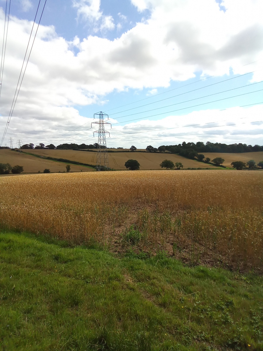
I start the walk at Waggon Road in Hadley Wood, walking west along the road for around half a mile from the junction of Cockfosters Road there is a gate in the hedge just before the first house on the right (Number 1 Waggon Road). This public footpath follows the boundary of South Hertfordshire and goes north east through the fields uphill towards the top of Stag Hill. This is known locally as Fenny Slade Hill or Stag Ridge. This path runs in a straight diagonal line for just over half a mile until it reaches an electricity pylon beside Stag Hill just south of junction 24 of the M25. I go through the hedge here onto the road where i cross over and continue along the path over a style in the hedge directly opposite.
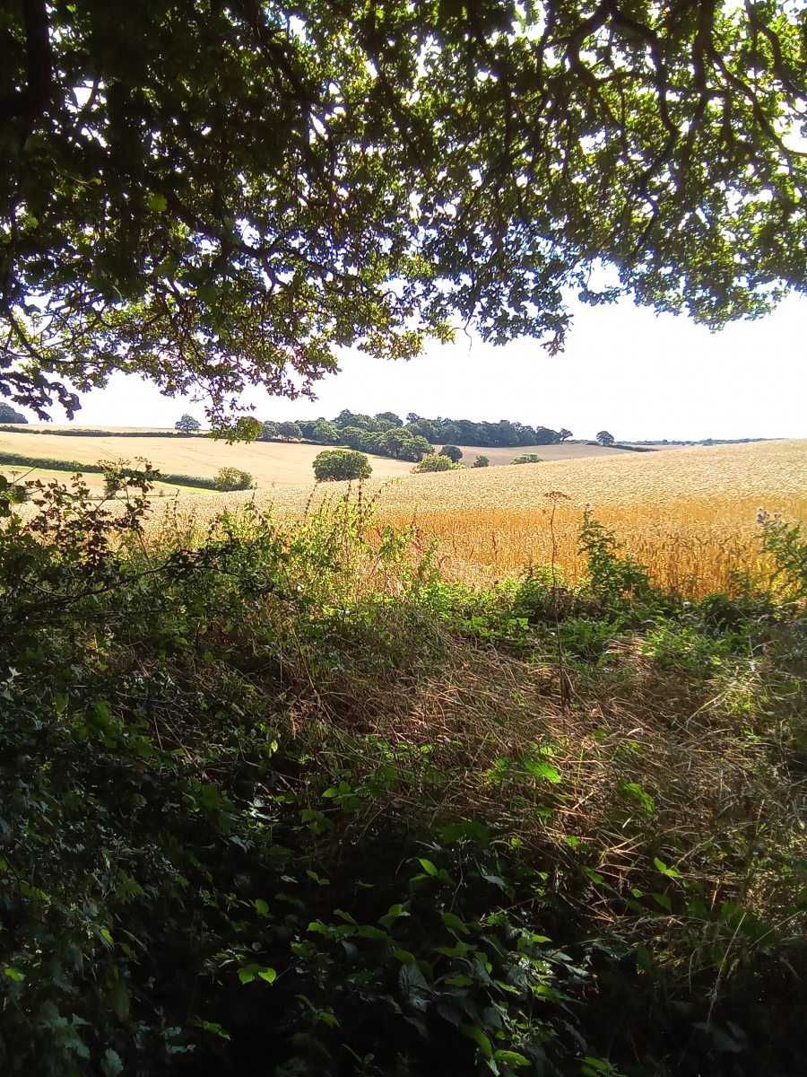
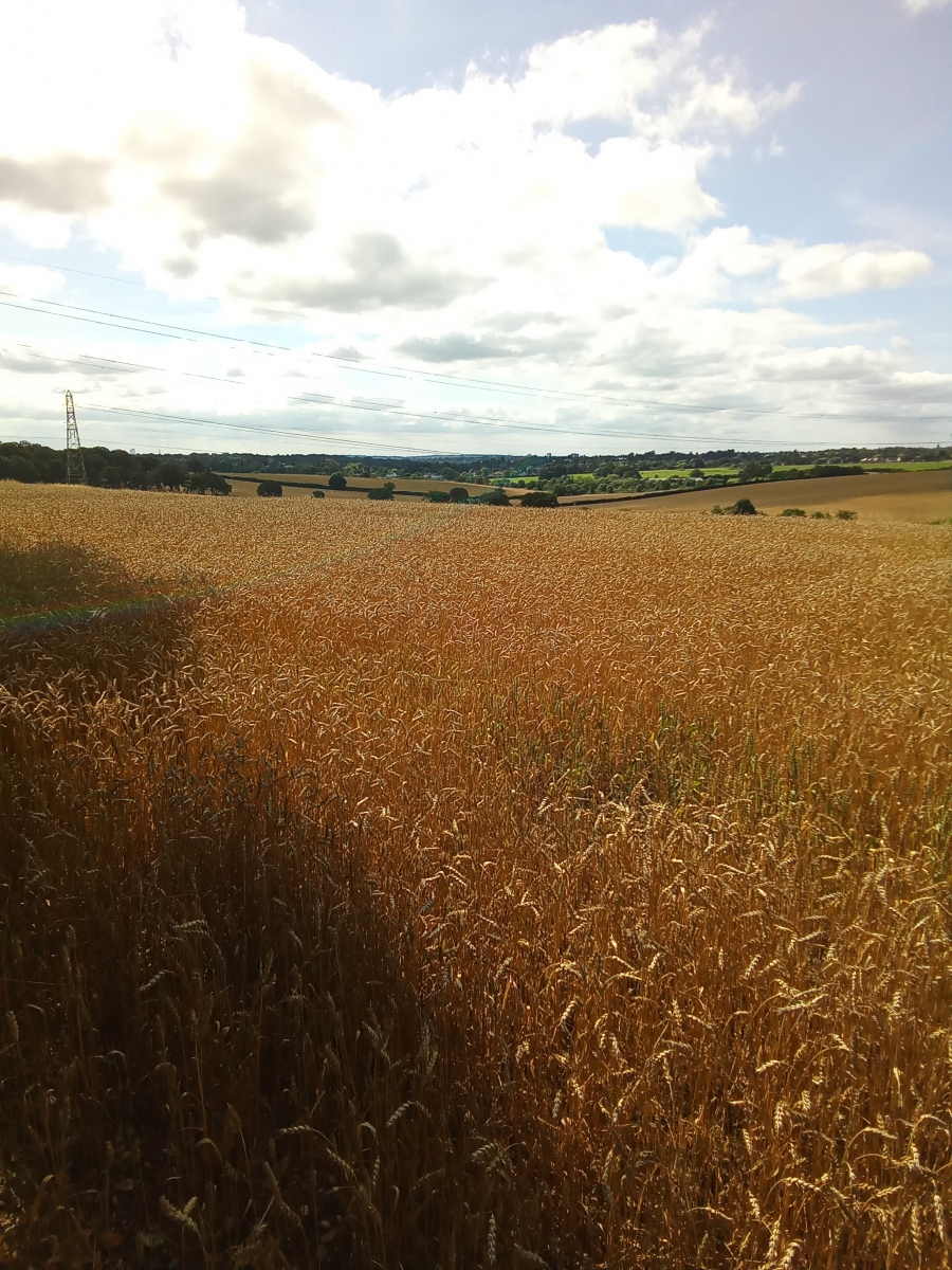
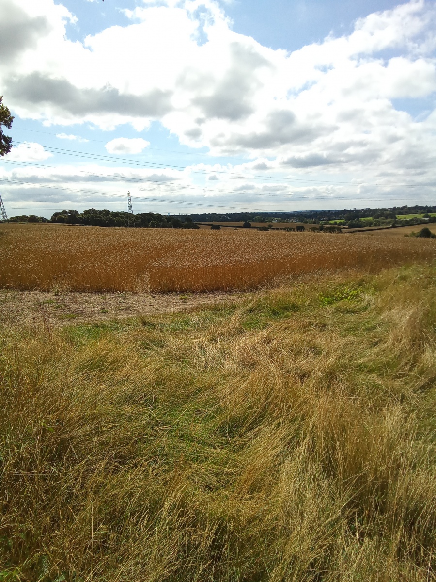
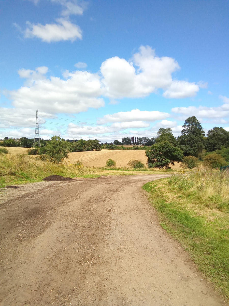
I am now in Cockfosters Meadows. From here i continue north east for 150 yards before following the hedge right heading east for 200 yards, then turn left heading north along the hedge for 160 yards before once again turning right to follow the hedge north east uphill for 180 yards. Looking to my right southwards there are long sweeping views back down the hills and valleys toward Enfield and beyond where i can see for miles over what look like endless wooded hills and valleys covered in arable farmland filled with crops. I am now at the top of the Enfield Ridgeway where i cross the road and follow the footpath directly opposite, going along the driveway of New Farm Cottage. There are gates here but this is a lawful public right of way. A track goes north east through here going through a tunnel below the M25 and then continuing for around three quarters of a mile through a wooded area called Five Acre Wood.
This is a semi ancient woodland on a steep south facing slope with a deeply cut meandering stream not unlike Loughton Brook which forms the upper source of Turkey Brook, a tributary of the river Lea. Buffering this to the east is Fir and Pond Wood, a nature reserve managed by Herts and Middlesex Wildlife Trust described as one of the finest remaining fragments of the Royal Enfield Chase hunting ground. There are a number of ancient wildflower meadows here and interestingly also a surviving medieval fish pond. At the top of Five Acre Wood is Coopers Lane Road where i turn right following a narrow path just inside the hedgerow parallel with the road heading east along the top of the nature reserve for around 320 yards, I then turn left through a gate and cross the road following a small road called Hook Lane. I walk past a row of houses to my left and at the end of the row of houses i continue following a wooded track north east for just over half a mile alongside Hook Wood, keeping the woods to my left. To my right looking east is the New Park Trust through which Northaw Brook runs east down Northaw valley towards Cuffley. This is another minor tributary eventually finding its way to the river Lea and this location forms the northern edge of what was once the Royal Enfield Chase.
Northaw
Reaching the end of Hook Lane I exit onto Northaw Road West, where i cross the road and turn left heading west toward the village. This is a beautiful village situated on a ridge surrounded by woods, hills and valleys. Northaw is believed to have been granted to the Monks of St Albans in the year 793. To the west of the village is the Great Wood, a once extensive forest which covered vast areas of land before the Norman Conquest. Throughout history this wood has been repeatedly cleared, coppiced and re planted. To the north are the Cuffley hills which form the Cuffley Ridgeway and to the east there is another valley through which runs the Hempshill Brook, which merges into Northaw Brook, which in turn merges with Cuffley Brook before joining Turkey Brook to feed into the river Lea in Enfield. The valleys and hills here give rise to numerous mineral springs and wells which were widely known for their healing properties. In the 16th century wealthy gout sufferers from outside the village would have mansions built here to take in the water for its health benefits. Several long brooks and streams begin here, many of which flow east for several miles as minor tributaries eventually widening before joining the river Lea to the east of Enfield. To the west of Northaw another series of streams and brooks drain downhill through North Mymms to form upper tributaries of the river Colne.
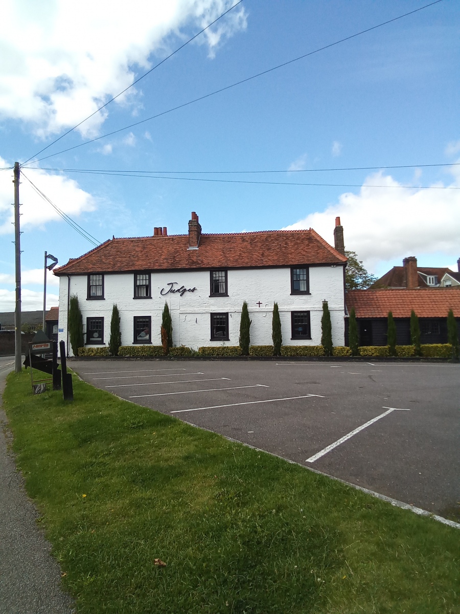
A Chapelry was founded here in the 9th century and the village has some well documented folklore in the form of 12th century Hermit Monk Sigar of Northaw who was a man of legend. He is laid to rest in a tomb in the south aisle at St Albans Abbey beside Hermit Monk Roger of Dunstable. Sigar is said to have walked from his Hermitage in Northaw wood to St Albans Abbey nightly to pray. It is believed his prayers were so powerful that he banished all of the Nightingales from the village because their song disturbed his daily meditations. His prayers now ceased, the Nightingales then returned to the village. The bitter irony perhaps is that due to habitat loss Nightingales are now rarely found here. The first known mention of a Church here was in the 12th century and the current village Church is a very interesting and particularly grand affair for such a relatively small village. The Church of St Thomas A Becket was built in 1882 and was the third such church built on this site dedicated to St Thomas A Becket in the last 700 years. A number of beautiful old buildings survive in Northaw village, one of which is Bay Tree Cottage down a narrow lane behind the village hall which was once the Bakery. At either end of the village green there are public houses both of 17th century and timber framed, the Sun Inn (now Judges restaurant) to the west and the Two Brewers to the east. A third 17th century Inn called the Glove In Hand also existed here once. Northaw House was famous for horse racing and welcomed some of the finest race horses at its meetings as far back as the 1930s, even seeing the then Prince of Wales ride in a race. The racing tradition still continues with the Northaw Races a short distance away at Coleshill Farm near Cuffley with competitive and fun races.
The second Leg
I pass the Church walking west on Northaw Road West where i turn right at the village green onto Vineyards Road heading north east for around a quarter of a mile keeping Northaw woods to my left until i reach the first bend in the road and on my right is a gate just past number 50 Vineyards Road leading to the Hempshill valley behind the village which i enter. I follow the path north east across the valley for around half a mile before the path curves right following the course of Hempshill Brook in a south east direction. Keeping the brook to my left i now follow the brook all the way down to Northaw Road East. From here i cross the road and turn left, to my right i can see down into the beautiful Northaw Valley below. I walk east along the road for around 500 yards before turning right down the footpath beside the Cuffley and Northaw Lawn Tennis Club and Playground carpark.
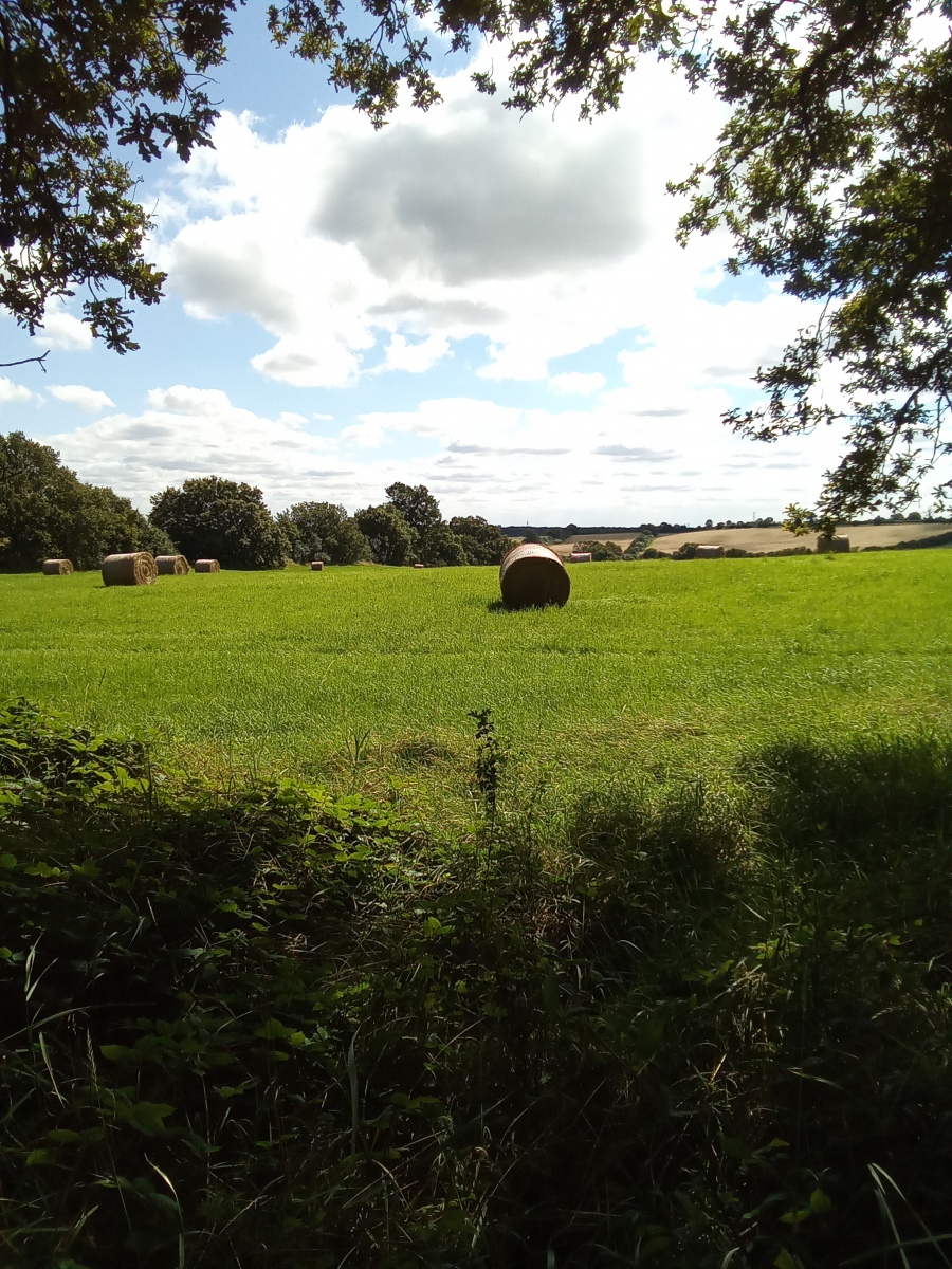
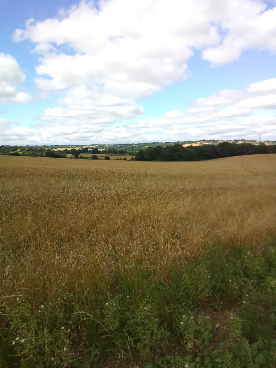
This path heads south passing below the Sopers Farm railway viaduct carrying the overground line to Hertford North over the Northaw Brook valley. The viaduct has 11 arches stretching over the valley and the footpath crosses the brook by going south through the arches before bending west, then north back through to Sopers farm before continuing south west where i follow the track through Cattlegate farm. I leave the driveway of the farm with the M25 bridge to my left and i turn right walking up Cattlegate Road heading north for around a third of a mile and turn left on to Coopers Lane Road. This stretch of Cattlegate Road is extremely busy with large vehicles traveling at speed, caution should be taken here to stay on the verges. I now walk west for half a mile along Coopers Lane Road before turning left onto the next footpath (footpath number 13) which heads south back through the Northaw valley crossing a footbridge over the M25. From here the footpath continues south through Holly Hill farm for another half a mile before coming out onto Enfield Ridgeway. Leaving the farm i turn left walking south east along the Enfield Ridgeway for around 220 yards before picking up the next footpath across the road on my right. Entering this footpath there are vast and beautiful views over the Salmons Brook valley where arable fields stretch out in front of me for miles, revealing occasional glimpses of the distant city skyline. This is the Botany Bay Meadows Trust.
Botany Bay
I am now just to the north of Botany Bay. This rural hamlet was established in 1777 when this part of the Enfield Chase was enclosed and records show this name first appeared in 1819 possibly as a reference to Australia’s penal colony as it was considered remote and inaccessible. Situated halfway between Enfield and Potters Bar, this hamlet is a very small one with a chapel and some later older Victorian buildings which have remained largely unchanged. Due to its location the Council have always strongly resisted any attempts to redevelop Botany Bay as it sits in such a prominent place along the Enfield Ridgeway that it considers any form of development here even minor domestic or otherwise in nature will be impossible without impacting on the surrounding greenbelt land. Along the main road are the popular Robin Hood pub and the Botany Bay farm shop.
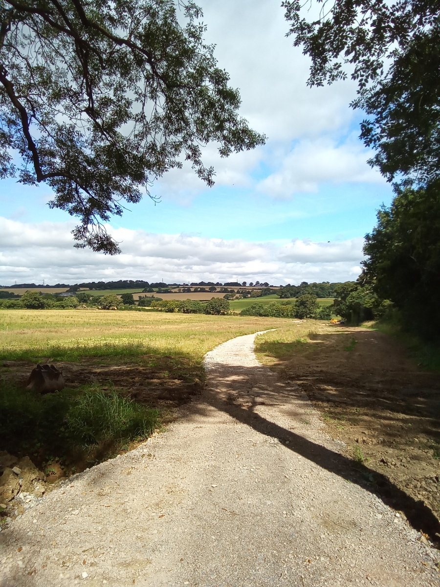
From here i follow the hedgerow south west downhill through the Salmons Brook valley for just under half a mile before crossing Salmons Brook and turning right to follow the brook west along the edge of two fields again for just under half a mile, then turning left to follow the hedgerow south for around 640 yards before coming out onto Ferny Hill. Here I turn left then cross the road passing through a gate entering Trent Park.
Trent Park
Trent Park forms part of the former Royal Enfield Chase in which large areas of the ancient Middlesex forest remain. The north boundary of the park is marked by a very tall and narrow Obelisk inscribed with the words “To the memory of the birth of George Grey, Earl of Harold, son of Henry and Sophia, Duke and Duchess of Kent”. Curiously, the inscription date is incorrect as their son was born some years later. This was purchased and moved here from Wrest Park in Bedfordshire by a previous owner of Trent Park Sir Philip Sassoon in 1924. Sir Philip was extravagant and very well connected and occasionally loaned the park to senior Royals. The Obelisk it is believed was brought here to impress his friends the Duke and Duchess of Kent who spent their honeymoon here.
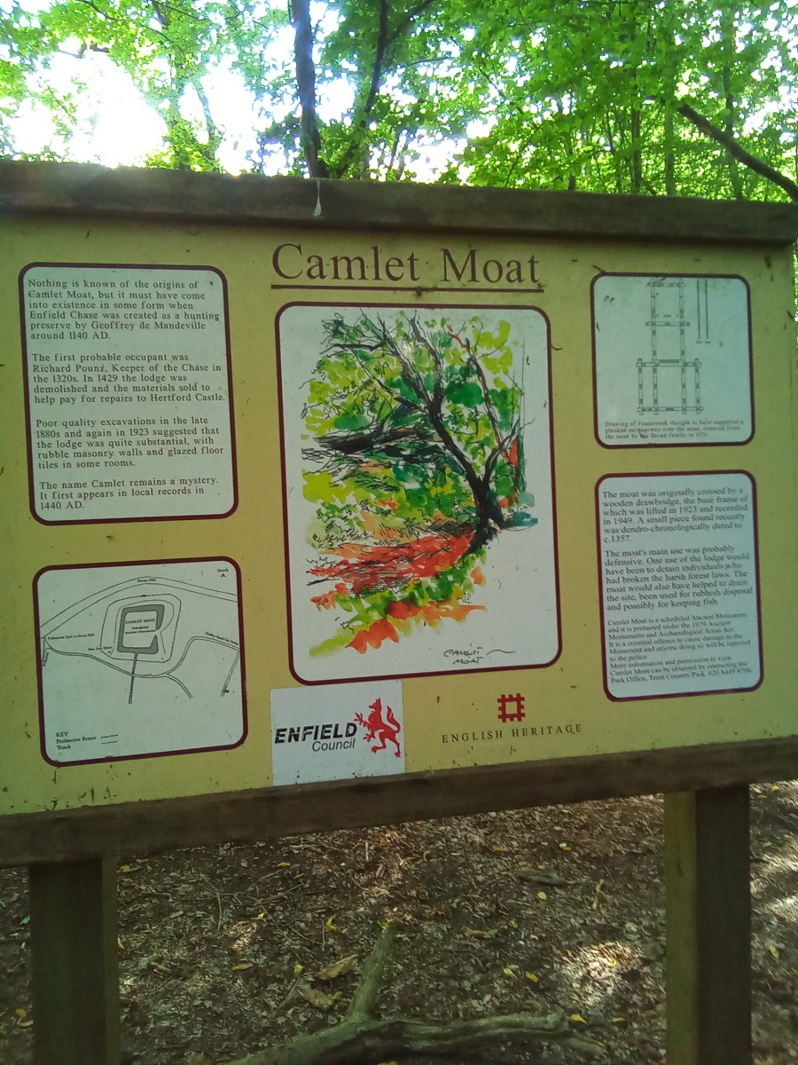
In the wooded area to the east of the Obelisk is Camlet Moat (originally Camelot), a medieval moat on which would have stood a manor house or hunting lodge inside the grounds of the Royal Enfield Chase. Records show that in 1440, a house called ‘The Manor of Camelot’ was demolished and the materials used to pay for repairs to Hertford Castle. Some sources refer to a well on this site and evidence of wooden beams or foundations. On the surface of the island pieces of 13th century timber and 14th century floor tiles have been found. What is known is that the building and it’s drawbridge were substantial structures. In the 1920s excavations found Roman shoes, Daggers and mosaic tiles depicting a knight at the site. Some reports also suggest the walls and foundations of a large stone building exist. English Heritage now manage the site of the moat with the assistance of volunteers. The name of the site gives rise to local legend that this was the seat of the legendary King Arthur. Stories also circulate of the ghost of a white lady being seen here and the red cloaked knight Sir Geoffrey De Mandeville (1st Earl of Essex) guards the moat on which his former manor house was built. This site is said to sit on the convergence of several ley lines and it is not unusual to find Pagan offerings here.
From here i go back out to Ferny Hill turning left and heading west for just over half a mile before turning right onto Cockfosters Road. I continue along here for around 600 yards to the mini roundabout where i turn left into Waggon Road, I am now back where the walk began. Alternatively a new access path has been created following the course of Salmons Brook through the fields north of Ferny Hill which comes out onto Cockfosters Road directly opposite Waggon Road. This is marked on the map included with a dotted line.
This walk has been a memorable one and the beautiful North Enfield and South Hertfordshire countryside is difficult to forget. The many valleys which form the route of this walk are simply stunning in summer and provide some of the finest views available in Enfield and South Hertfordshire, not that unlike those of the Epping Uplands. Encouragingly large areas of farmland in the heart of the former Middlesex forest are now being re-planted with new woodland along the brooks and valleys of the Enfield Ridgeway. From the many vantage points it is easy to understand how this became a favoured Royal Deer park to many of the very same Monarchs and Nobility who were so familiar with Epping forest. The depth of history ingrained into this landscape and its many ancient communities is hard to escape once you start to delve into the past and uncover the story of the Great Forest of Middlesex and the Royal Enfield Chase.
Further reading from external sources:


