The Cobbins Brook Valley
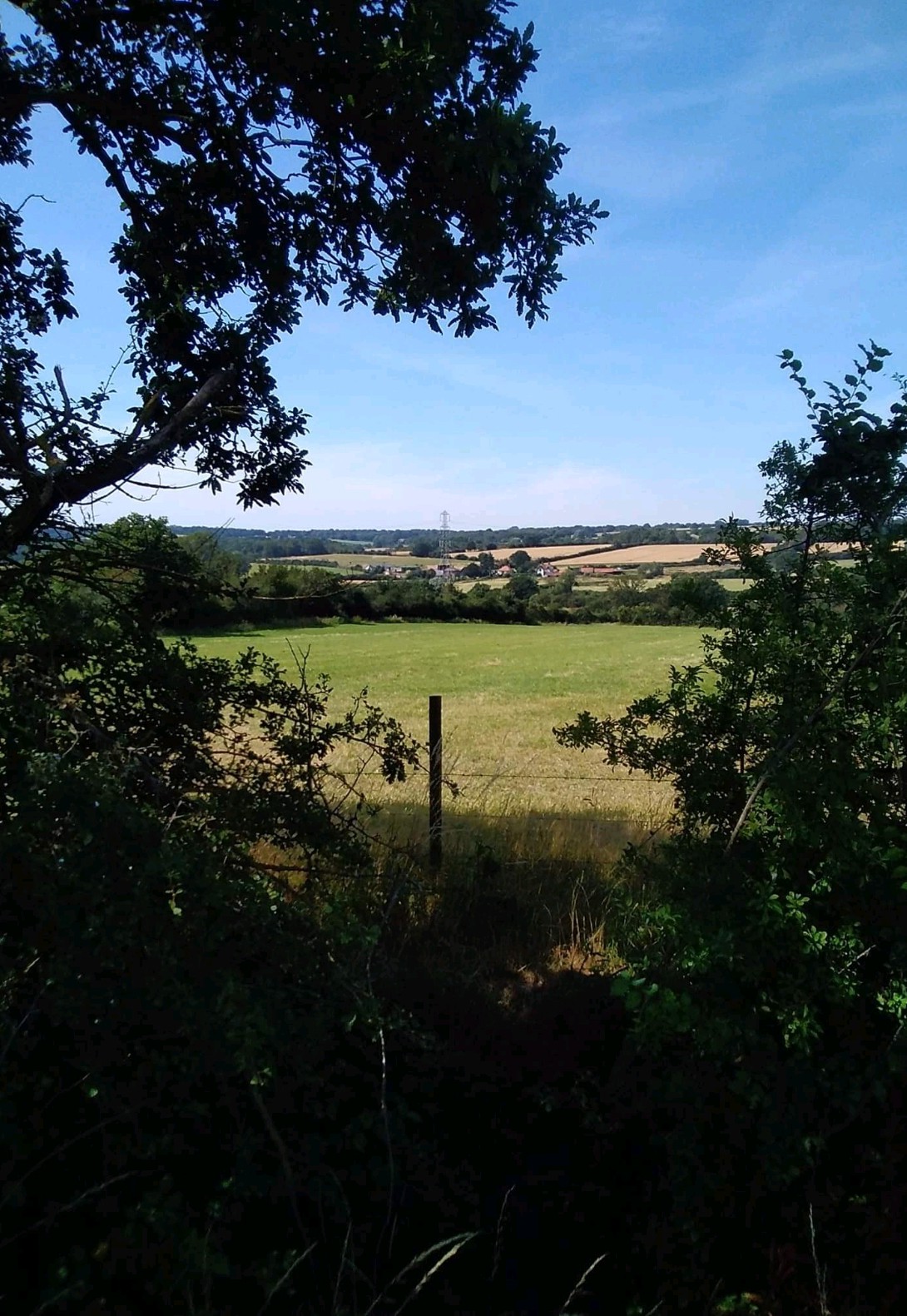
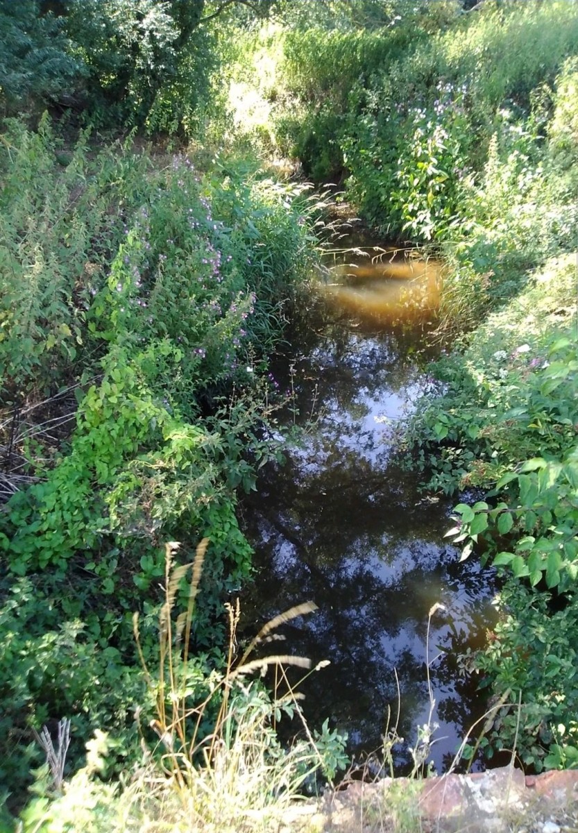
This walk goes in a loop around the Cobbins Brook Valley in the heart of the Uplands West of Epping. Cobbins Brook runs South West from it’s source on the edge of uplands at Hayley’s Manor Farm to Waltham Abbey. The brook is just over six miles long and has a number of now rare natural features in lowland water courses such as low cliffs, gravel bars & meanders. It is also steeped in history and local legend.
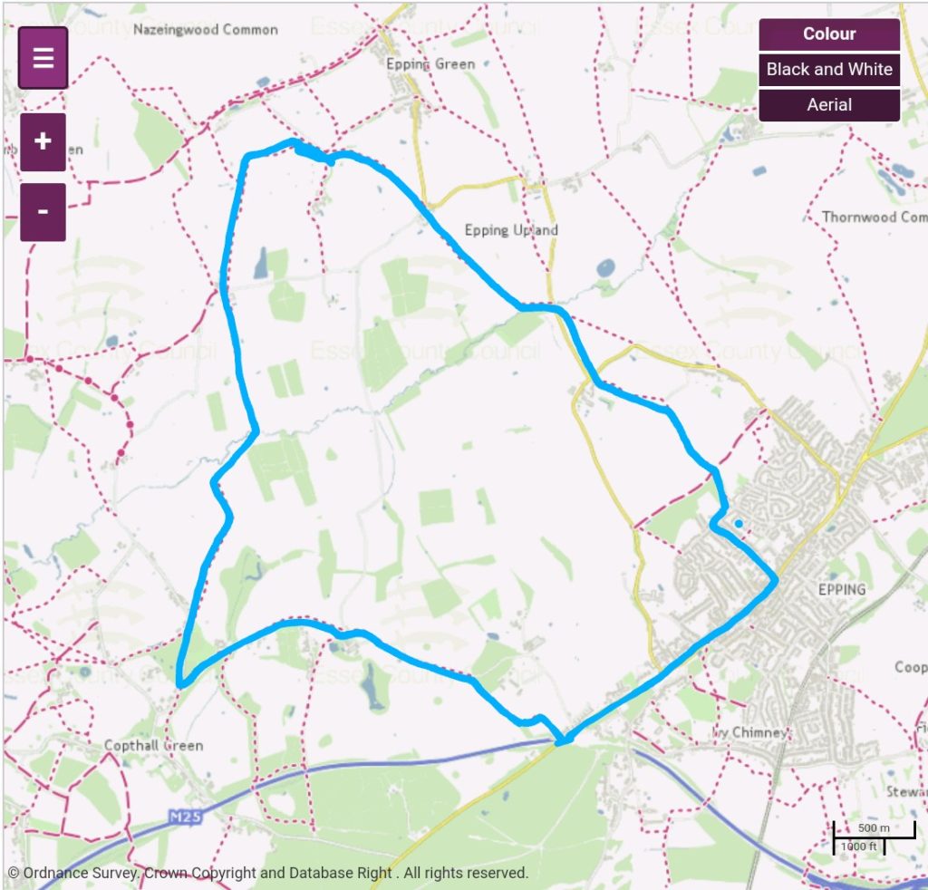
Ordnance survey map credit to Essex County Council
What are unlikely to be true are the stories that Queen Boudicca fell near here when she gathered hemlock from the banks of the brook to poison herself after her defeat to the Romans, but what absolutely can be proven is the long history of human activity around the brook as far back as the Mesolithic period. Records show evidence of substantial Celtic, Roman & Medieval activity on these hills. Iron Age artifacts have been found here as well as groundworks similar to the Hill Forts seen at Loughton Camp and Ambresbury Banks. Some features of the land appear to be man made and could possibly be burial mounds.
Spread out around the north and south of the Cobbins Brook valley forming a loose ring on the outer edges where the ground rises up away from the brook are a number of ancient dwellings, some of which pre date the 15th century and are mentioned in the Doomsday Book. One of particular interest is Peacock’s Farm on the southern edge of Epping Long Green. Aside from the expected period features, a number of ‘Witch Marks’ can also be found engraved onto the internal doors and woodwork inside the house. These take the form of carvings of compasses and flowers interwoven with the letters V and M for Virgin Mary, to confuse and ward off evil spirits. Reminders that this was once a fearful community with very strong beliefs.
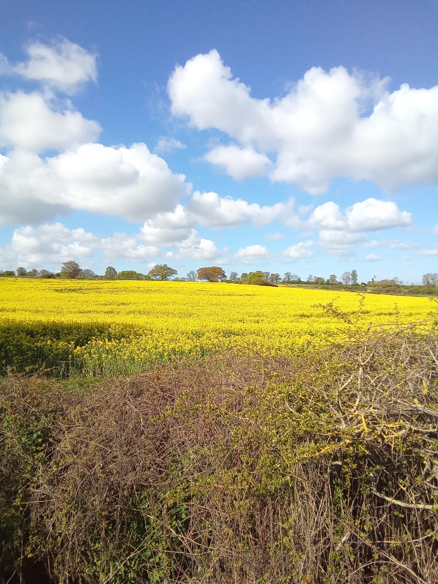
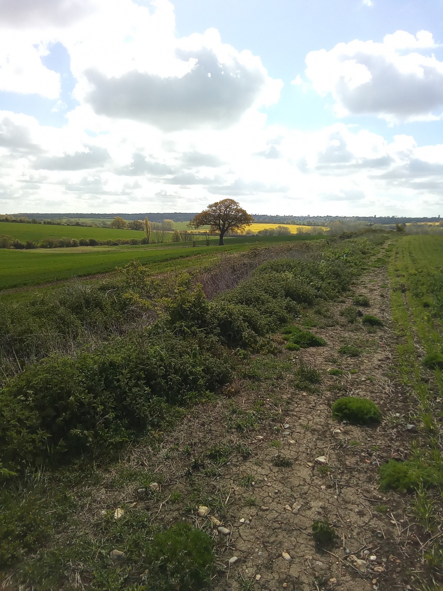
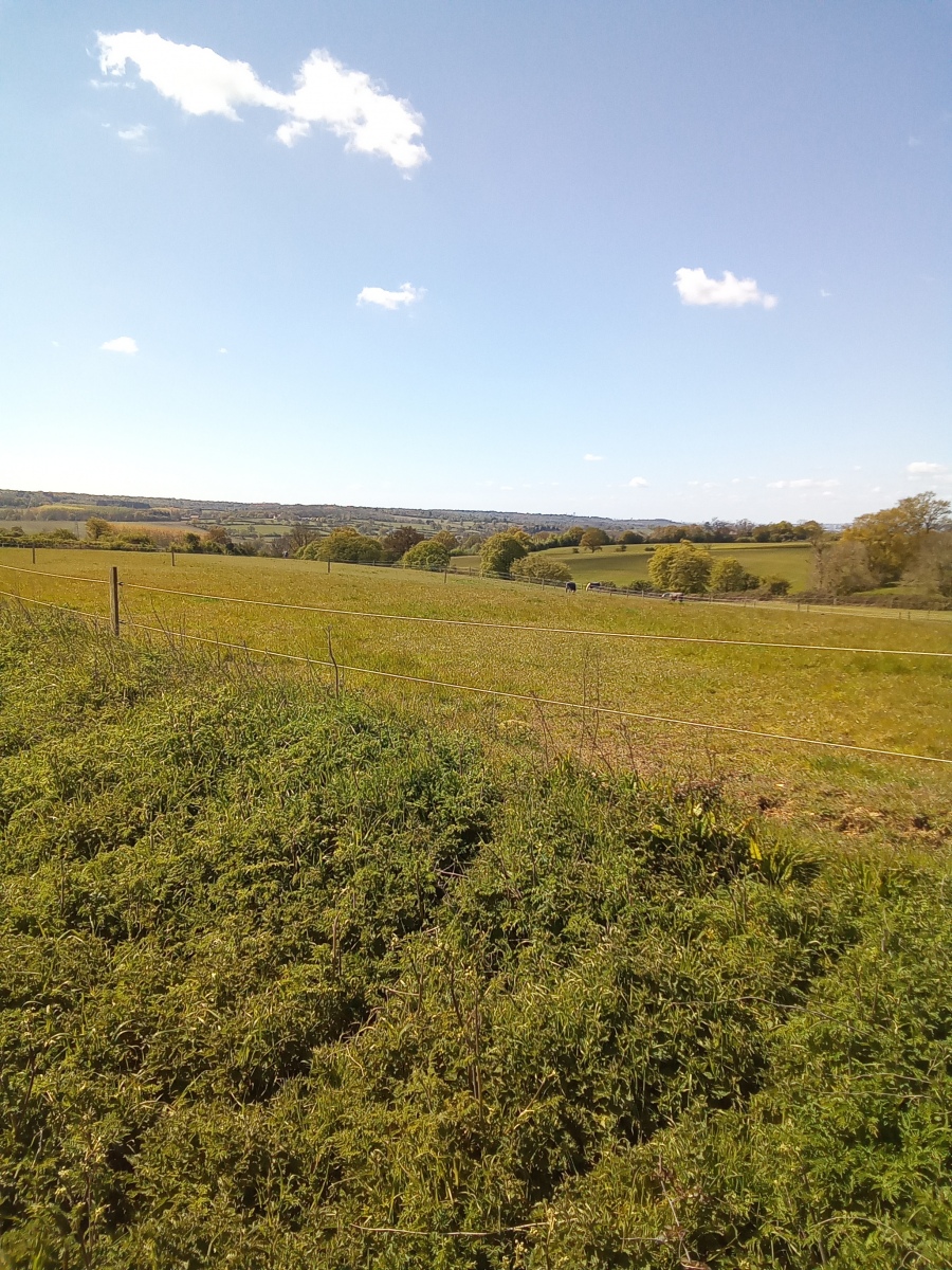
The valley which Cobbins Brook runs through is very wide on the top of the Uplands and offers some wonderful distant views over the farmland on the surrounding hills leading to the forest in the East, and to the West on the ridge of high ground along the top of Nazeing Common before the land drops steeply down into the Lea Valley. It is unusual not to have sightings of Deer, Red Kite and Buzzard up here and you get a feeling that you could be absolutely anywhere in the world. At times of drought the brook runs dry on these hills and is reduced to a series of muddy puddles which there is much evidence of wildlife competing to drink from. This is perhaps the most remote stretch of Cobbins Brook and certainly the most tranquil, where it would be easy on a summer day to just sit down a while and enjoy the perfect peace.
I start this walk at Swaines Green open space at the rear of Epping Primary School on Coronation Hill. Heading West through Swaines Green I enter Bury Farm where I follow public footpath number 5 (Epping) to the junction of Lindsey Street and Bury Lane. From here I cross the road continuing West along the field edge to Cobbins Bridge. Crossing over at the bridge I follow public footpath number 4 (Epping Upland) North West to Chambers Manor Farm. Crossing from the farm I continue North West along public footpath number 4 (Epping Upland) until reaching the surfaced track at Hunters Hall Farm. Here I walk around 160 yards further North West along the track before turning left at the first hedgerow onto public footpath number 5 (Epping Upland) and following the footpath South West past the rear of Peacock’s Farm and continue South to Fallow Deer Farm/Barn, where I cross the lane passing between the farm buildings and continue South along public footpath number 5 (Epping Upland) for around 950 yards keeping the hedgerow on my right until I reach Cobbins Brook.
Crossing the brook I join public footpath number 75 (Waltham Abbey) which I follow South West following the edge of the field for around three quarters of a mile until I reach New House Farm on the corner of Long Street. I continue South West along Long Street for around 450 yards until I reach Greenhew Cottage, then turn left along public footpath number 46 (Waltham Abbey) and continue East through Lodge Farm, past Rookery Wood and Copped Hall before Joining public footpath number 37 (Epping Upland) at Home Farm and continuing South East along the surfaced road for half a mile before turning right just before Griffin’s Wood, where I stay on public footpath number 37 (Epping Upland) heading South East until I reach Epping High Road exiting the footpath just above the Bell Common Tunnel. From here I turn left and continue along the High Road to finish this walk where it started.
The scenery on this walk throws up many surprises along the way. The last place one would expect to find such a wide valley like this would be along the highest point of the Uplands. The views here looking in all directions are simply beautiful and provide many wonderful vantage points for some fantastic landscape photography of the multi coloured patchwork of distant farmland, as well as the local wildlife. These footpaths are some of the less well used and more remote pathways, which is indicated by how unconcerned a lot of the wildlife seemed by my presence. Herds of Fallow which would usually have fled at the slightest movement were quite comfortable out in the open away from the cover of woodland and the wild Hares were very notably going about their business without a care in the world just yards away from the footpaths. This is a slightly longer route which is well worth a visit to explore one of the more remote and less well trodden parts of the district.
cobbins brook Copped Hall Epping Uplands Haley's manor farm Peacock's Farm

