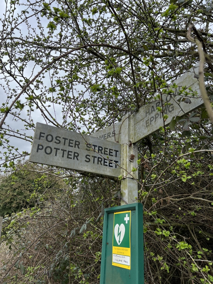
Situated immediately to the east of the busy M11 Hastingwood interchange are the hamlets of Hastingwood and Foster Street, which surprisingly given their close proximity to the motorway are relatively quiet settlements with a rich history and some wonderful old buildings surrounded by attractive scenery and peaceful country lanes. At one time these were both situated on the edge of a much larger Harlow Common in the ancient parish of Harlow but are now within the parish of North Weald Bassett. When you take a closer look around on foot it becomes very easy to forgive the presence of the nearby motorway as you begin to discover the fascinating history hidden away from view around this ancient part of the West Essex countryside. Centuries ago Hastingwood was known as Hazlewood in reference to a large grove of Hazel trees around what is now Hastingwood Road, close to Paris Hall. Records from 1520 mention this wood and the Chapman and Andre map of 1777 shows this area as Hazlewood Common. The newly built Hazelwood Park estate takes its name in recognition of this local history.
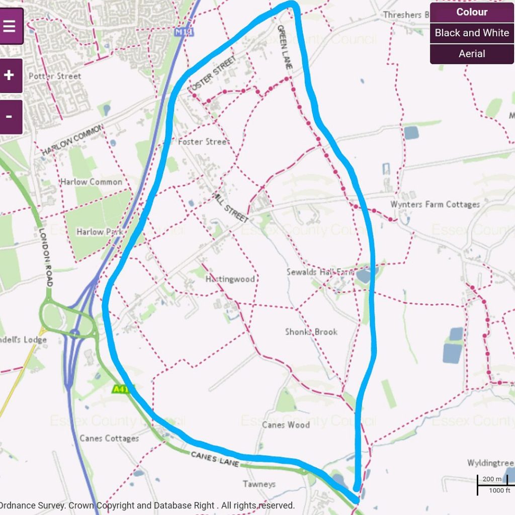
I begin this walk from Epping, passing through Wintry Wood before walking north along Duck Lane then turning right onto Weald Hall Lane and heading east across the motorway bridge. Immediately across the bridge I turn left over a style to follow public footpath number 8 (North Weald Bassett), which runs down a narrow alleyway north between the motorway embankment and The Croft cottage. At the end of this narrow alley the path opens up into open fields where I continue north alongside the motorway for around a third of a mile to the hedgerow ahead, passing through this hedge I cross a small footbridge over the humble beginnings of Cripsey Brook. Here I continue along public footpath number 8 (North Weald Bassett) which now bears north east eventually exiting onto the A414 Canes Lane opposite Canes Farm. Crossing to the farm, immediately left of the entrance is another style with a waymarker directing me north along public footpath number 29 (North Weald Bassett) through a row of very tall and dense Laylandii trees. Once through the trees I continue north along footpath number 29 (North Weald Bassett) straight across the field for around 300 yards before turning right to follow the field edge east, staying on this path for just under half a mile until I reach bridleway number 19 (North Weald Bassett) where I turn left heading north around Paris Hall farm. On this farm it is impossible not to notice the melodic song of Skylarks filling the air above.
Paris Hall
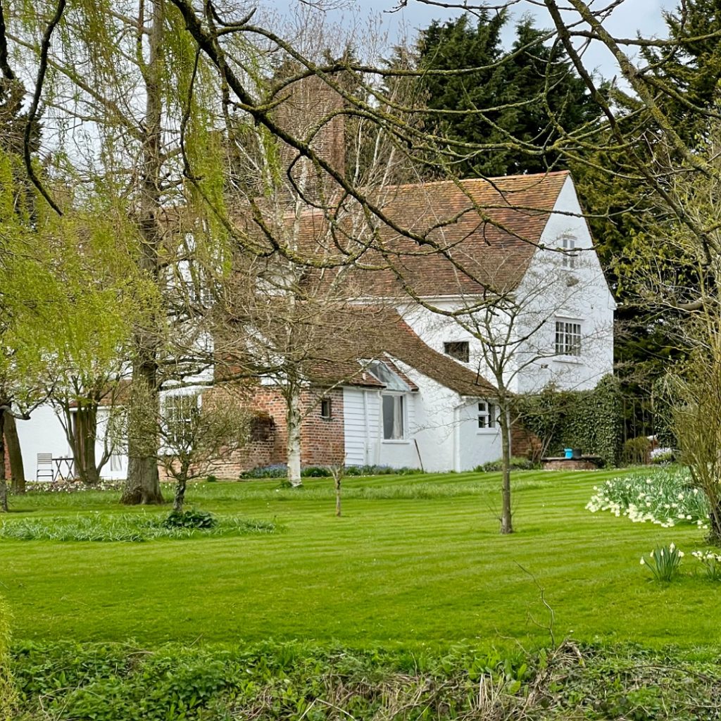
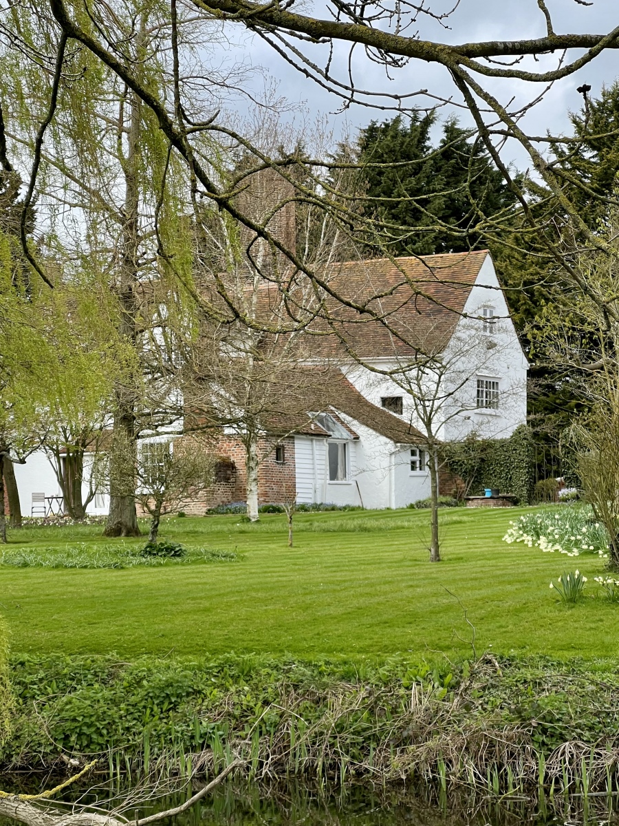
Paris Hall is a fine Grade II listed 16th century manor house partly surrounded by a moat. This corner of West Essex is noted for the great number of moated properties known to have existed here, many of which are now silted up and remain only as historic relics. Part of the moat survives here very close to the bridleway. Although named after 13th century landowners the Paris family, the estate is believed to pre date their arrival at Hastingwood. The hall passed through a large succession of owners over the centuries and has a fascinating history. Paris Hall retains many of its original features including the magnificent central chimney stack comprised of six tall octagonal shafts grouped together, with original timbers and handmade roof tiles. Historic England lists many intricate features inside the house spanning several centuries. The property sits in large grounds and enjoys wonderful uninterrupted countryside views over the Cripsey Brook valley to the south and east. It is screened from the north by a row of tall conifers.
High Cross
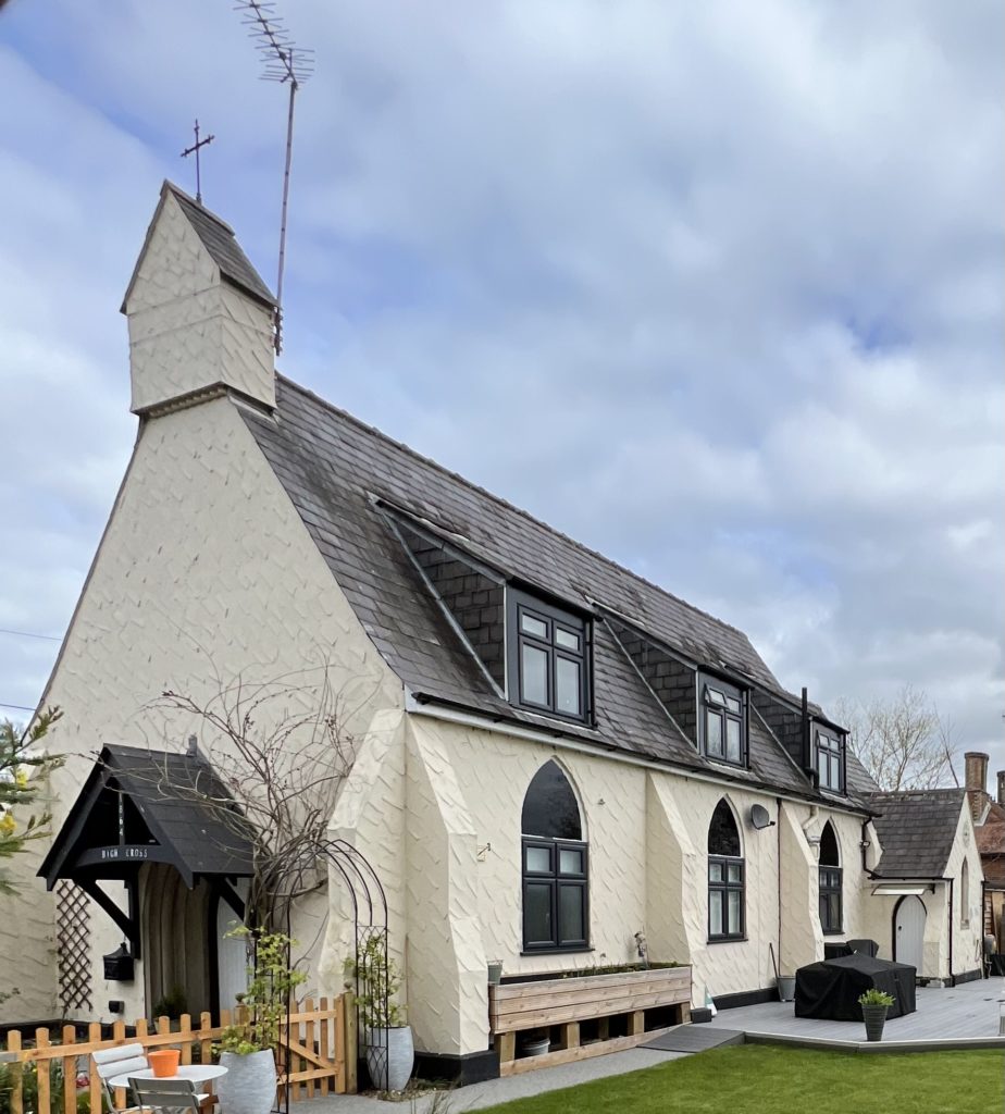
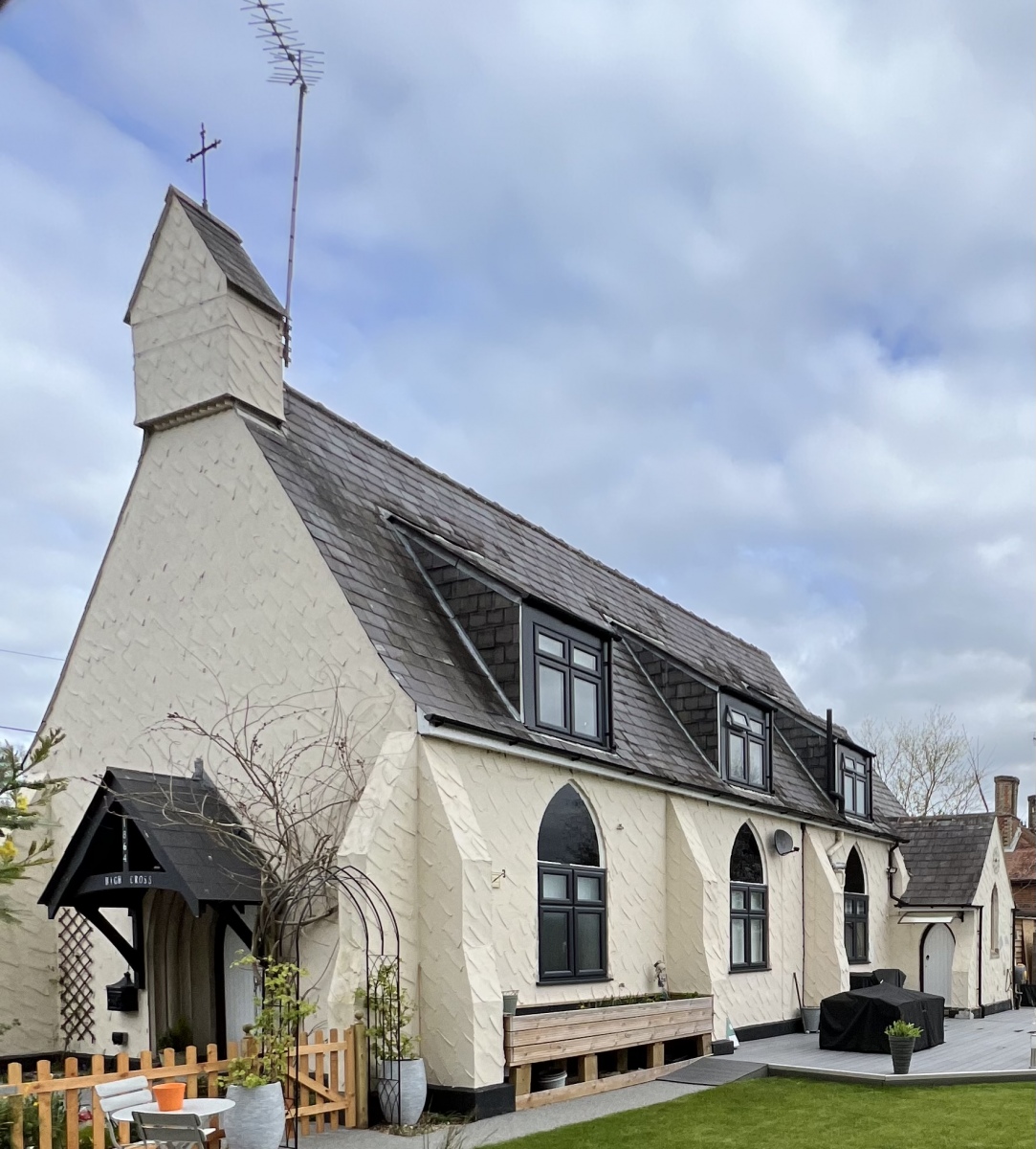
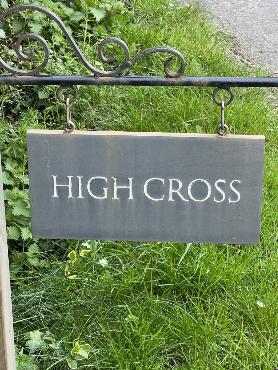
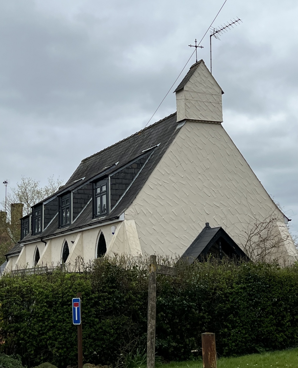
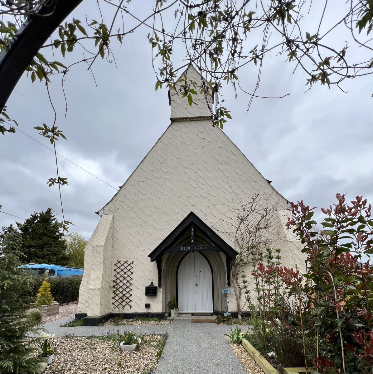
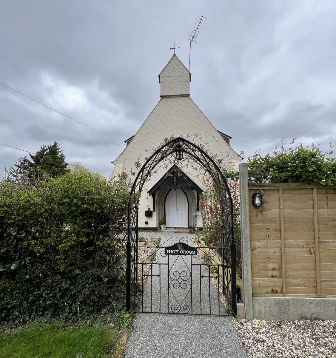
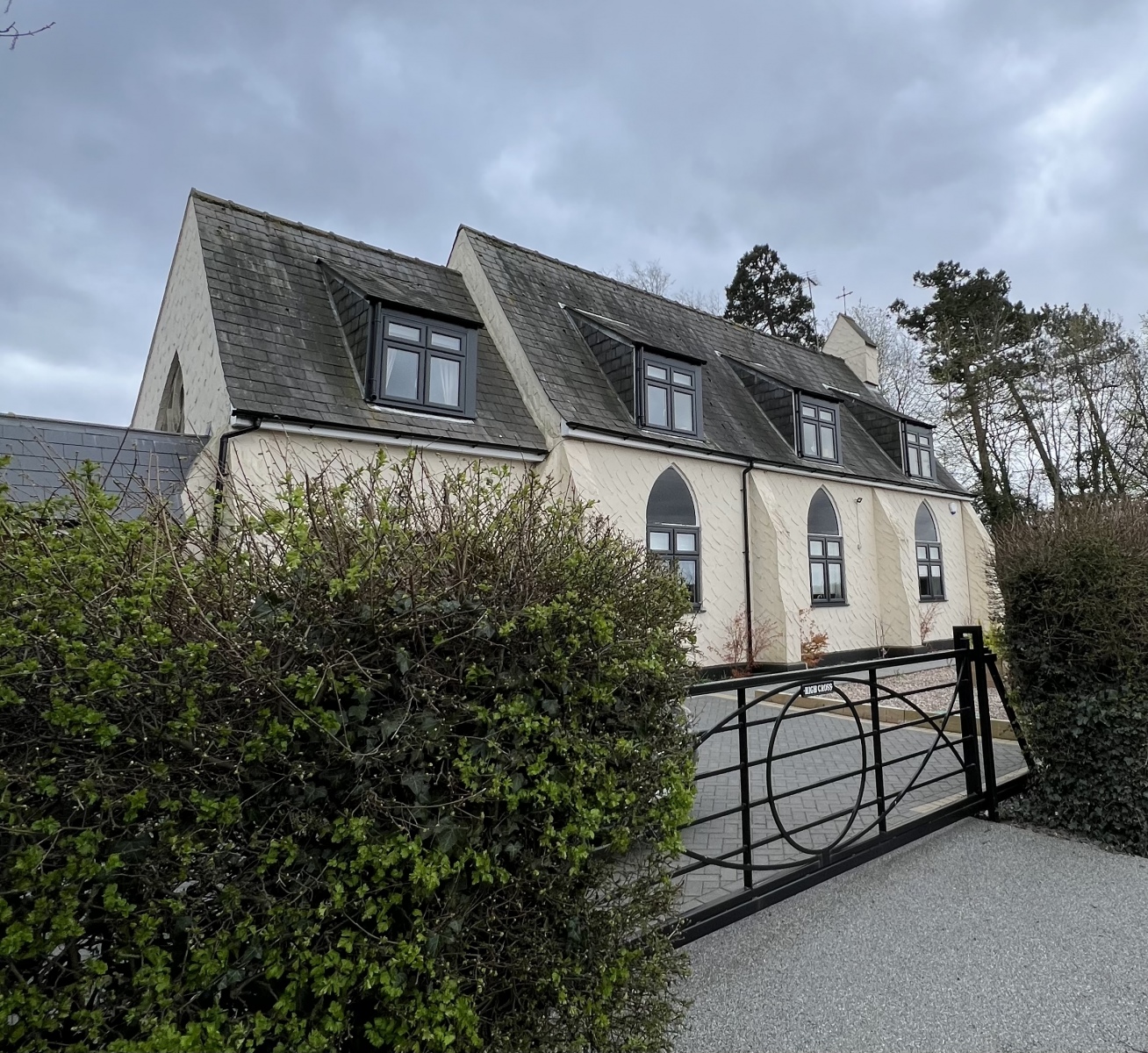
I continue north along the bridleway from here for a quarter of a mile along the track to Hastingwood Road. It is at this location that ordnance survey maps make some intriguing references to ‘Church Farm’ and ‘High Cross’, which is unusual considering there is no Church at Hastingwood. All is revealed looking immediately to my right at this junction as the house on the corner named High Cross is very obviously a former Chapel converted into a dwelling many years ago. There are several clues in the large arched windows along the sides of this beautiful building and the solid wood doors which are also arched. This former place of worship built in 1864 as a Chapel of Ease, now has a new lease of life as a clearly much loved home surrounded by pretty gardens which fits in wonderfully at Hastingwood.
The Rainbow And Dove
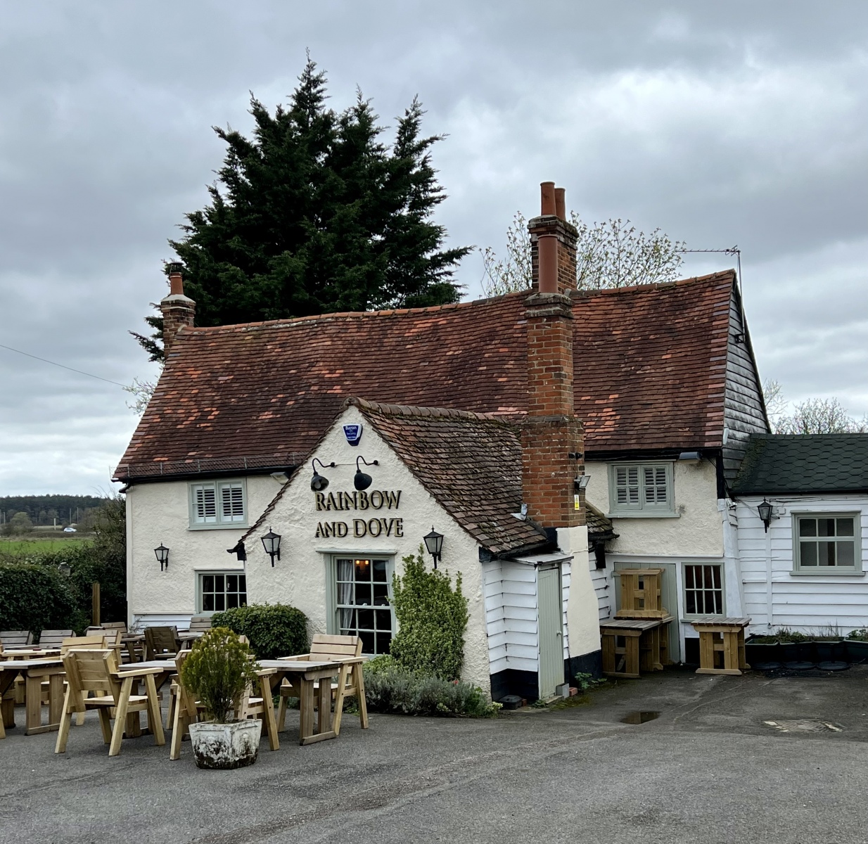
Here I turn left onto Hastingwood Road to take a quick detour along the road for around 350 yards to the Rainbow and Dove public house on my right. This charming country pub with its original hand made roof tiles and timber frame is believed to have been a 17th century farmhouse which later became an Inn and staging post along the road to Cambridge. Set back from the road it is thought this listed building was originally named after its first occupiers the Rainbow family, before the name became corrupted over time as an Inn. One historical reference mentions Hastingwood Farm being locally renamed Rainbow Farm and a tree shaped like a dove at the premises. This small public house makes a fine contender for a pint of Ale while exploring the local area and has a most welcoming atmosphere.
Shonks Farm House
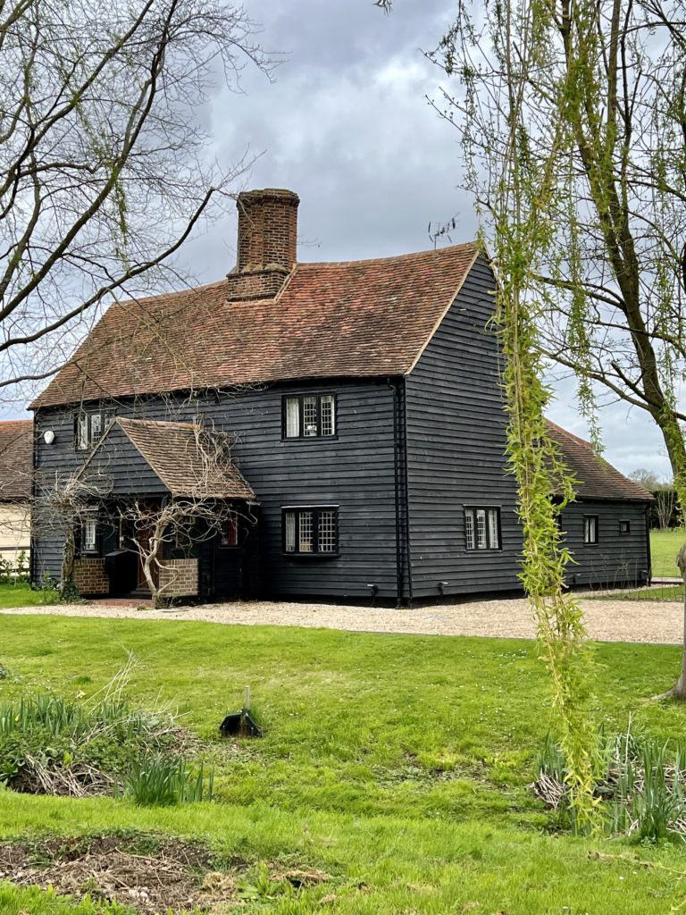
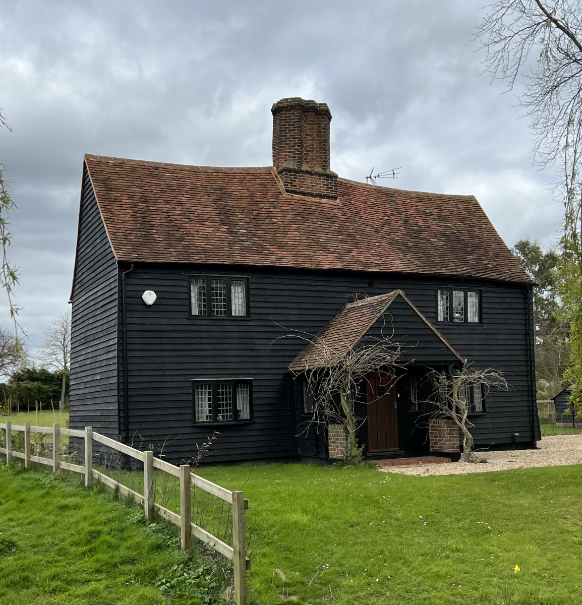
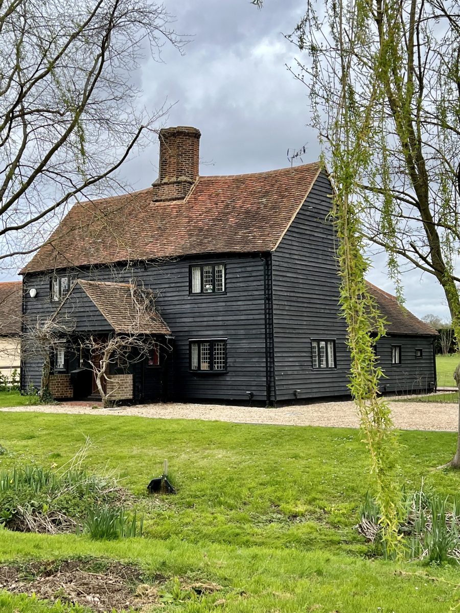
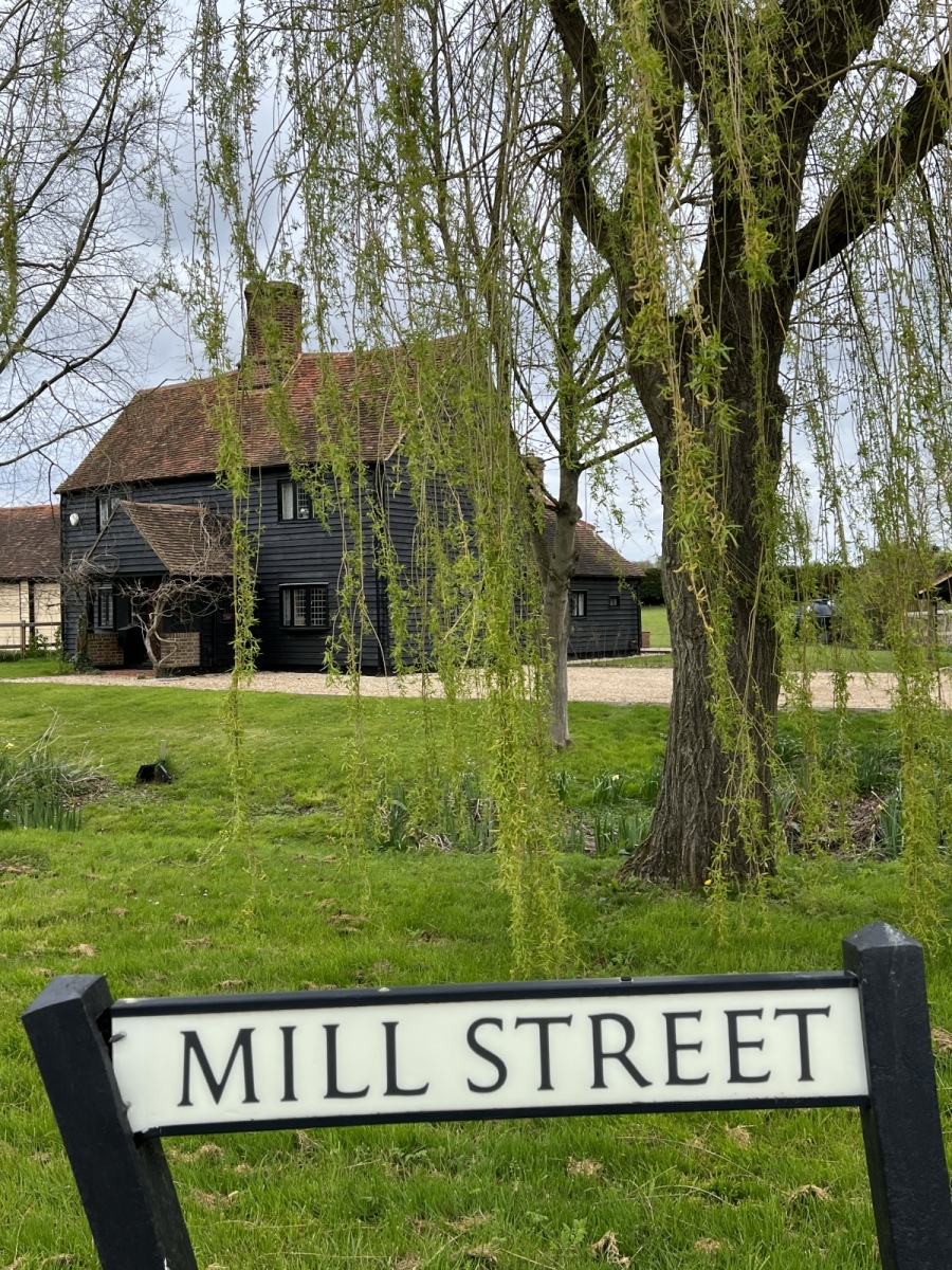
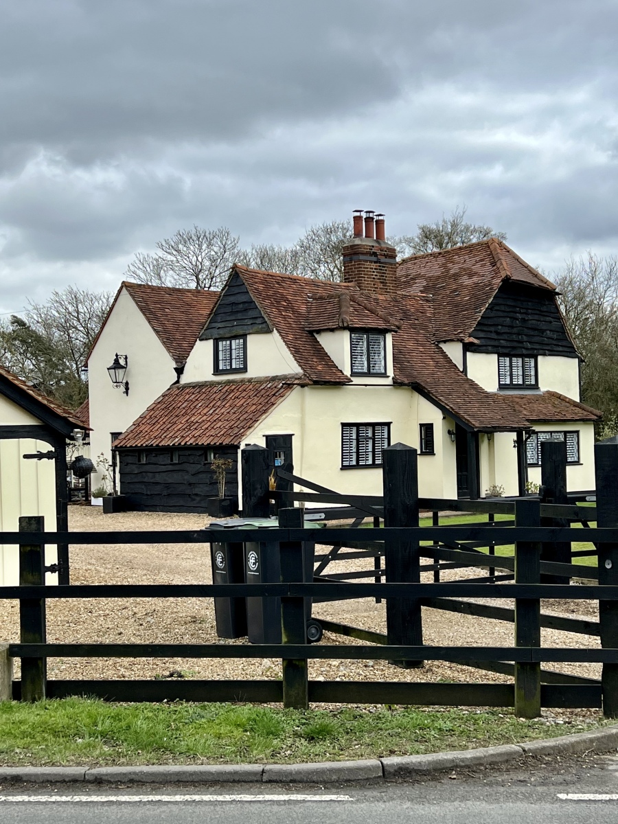
Retracing my steps from here east along Hastingwood Road past the converted Chapel, I continue just under half a mile before turning left onto Mill Street. Here at the junction is another wonderful old building called Shonks Farm House. This beautiful 17th century farmhouse survives in remarkable condition. Much renovation has been carried out in recent years and this has been done incredibly sensitively to this lovely timber framed and weather boarded farm house. Although the exterior boarding is newly replaced, this is set off beautifully by the original hand made red terracotta tiles on the roof and porchway. The central chimney stack is another impressive feature. Set back from the lane with well clipped lawns and obscured by a large weeping willow, this old farm house perfectly characterises a sleepy countryside charm where time stands still. In the fields just behind these houses runs a small stream forming a tributary of Shonks Brook, which runs south from here into Cripsey Brook.
Foster Street Non Conformist Burial Ground
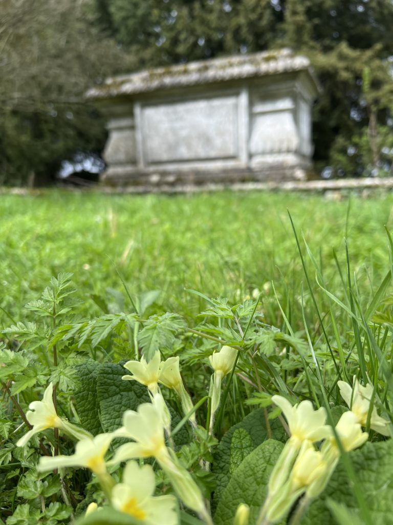
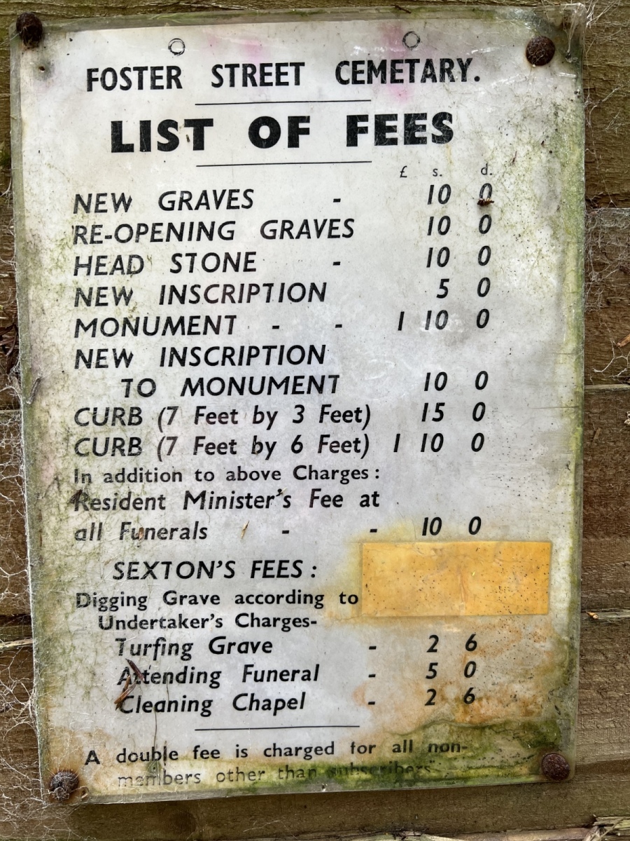
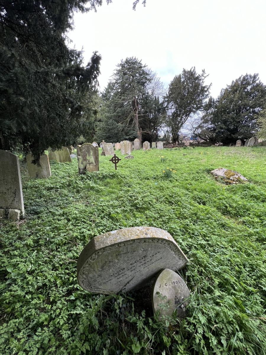
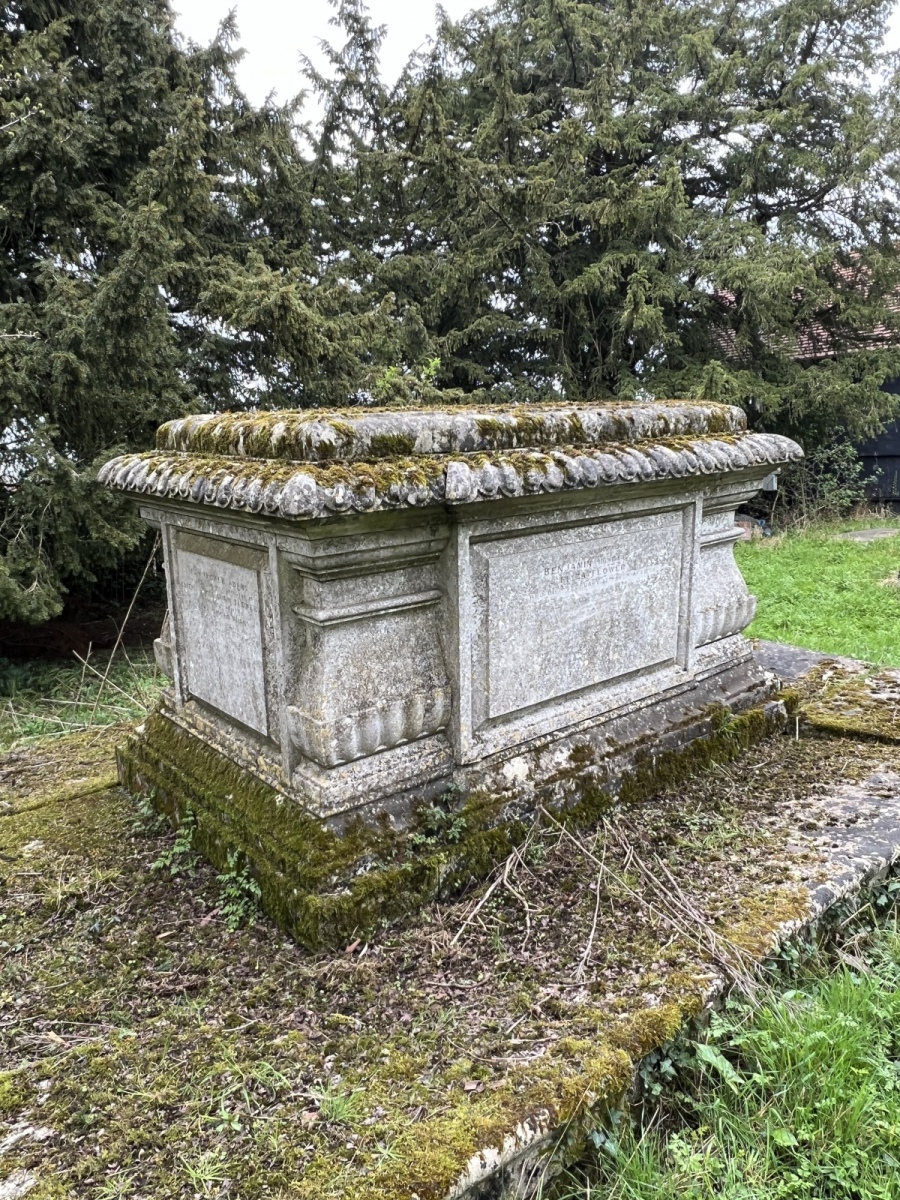
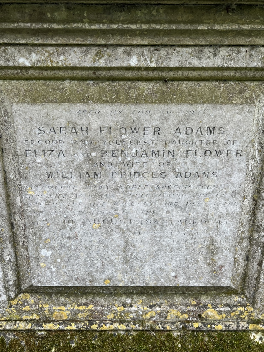
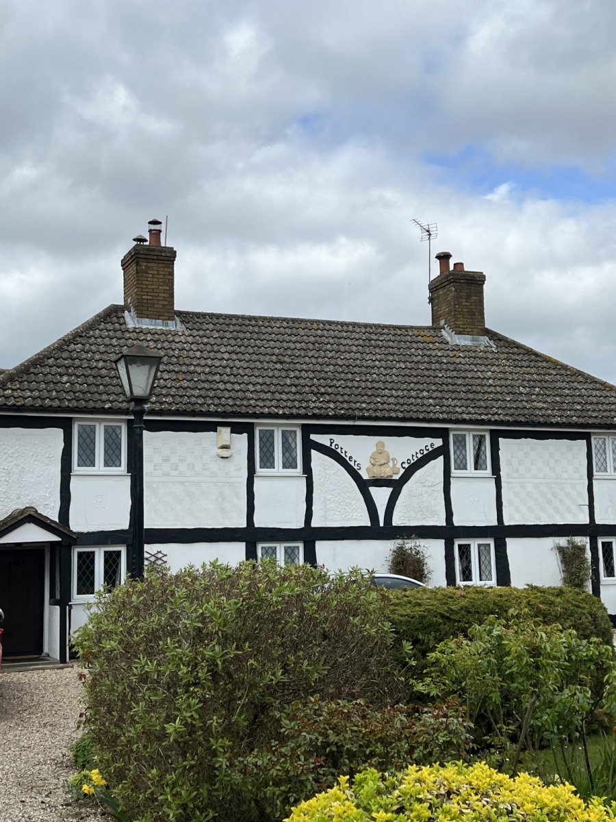
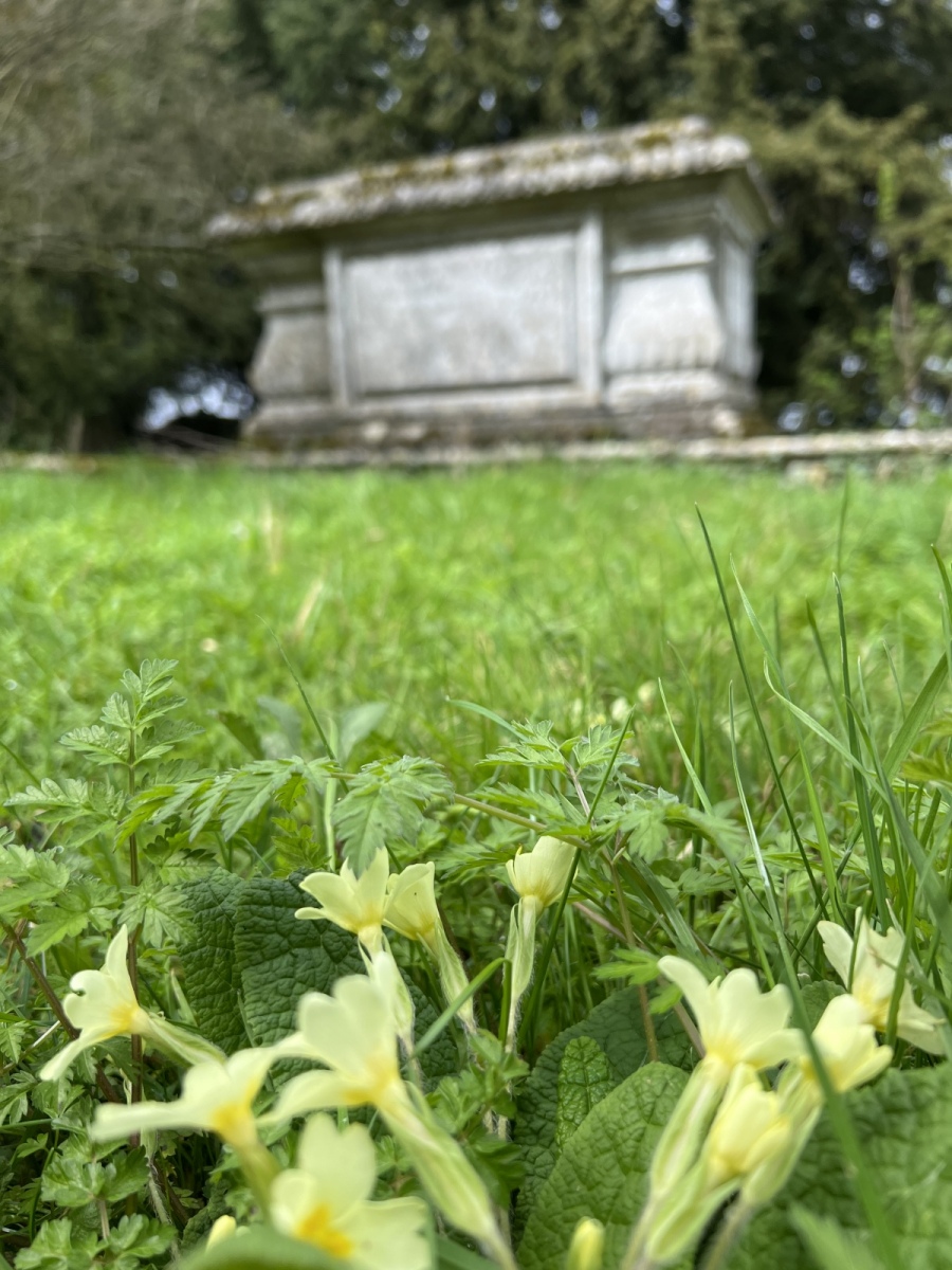
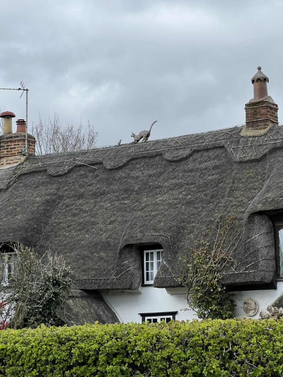
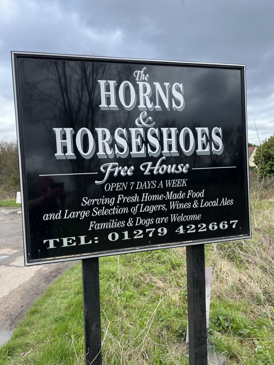
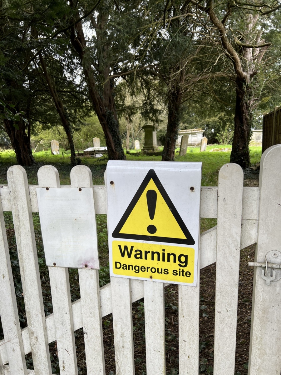
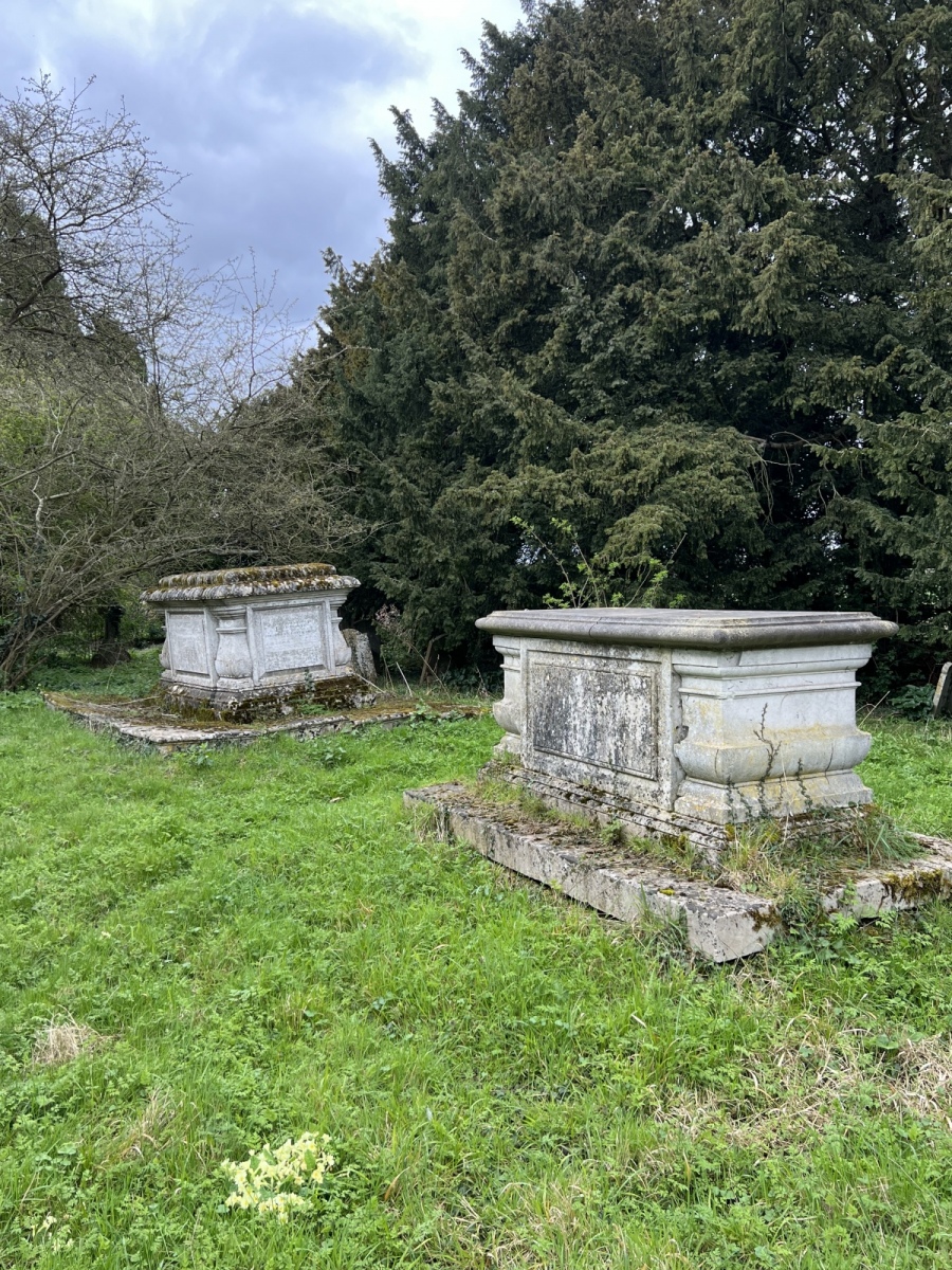
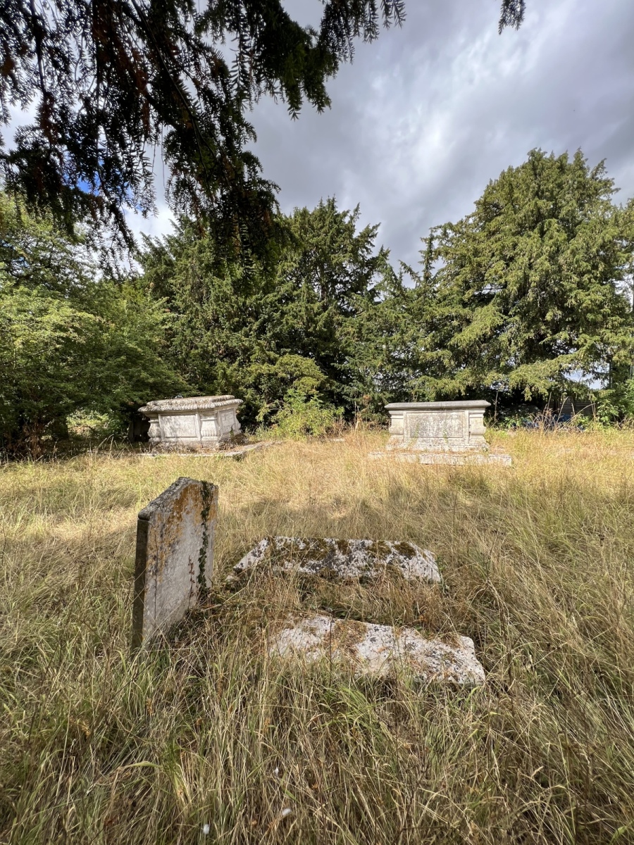
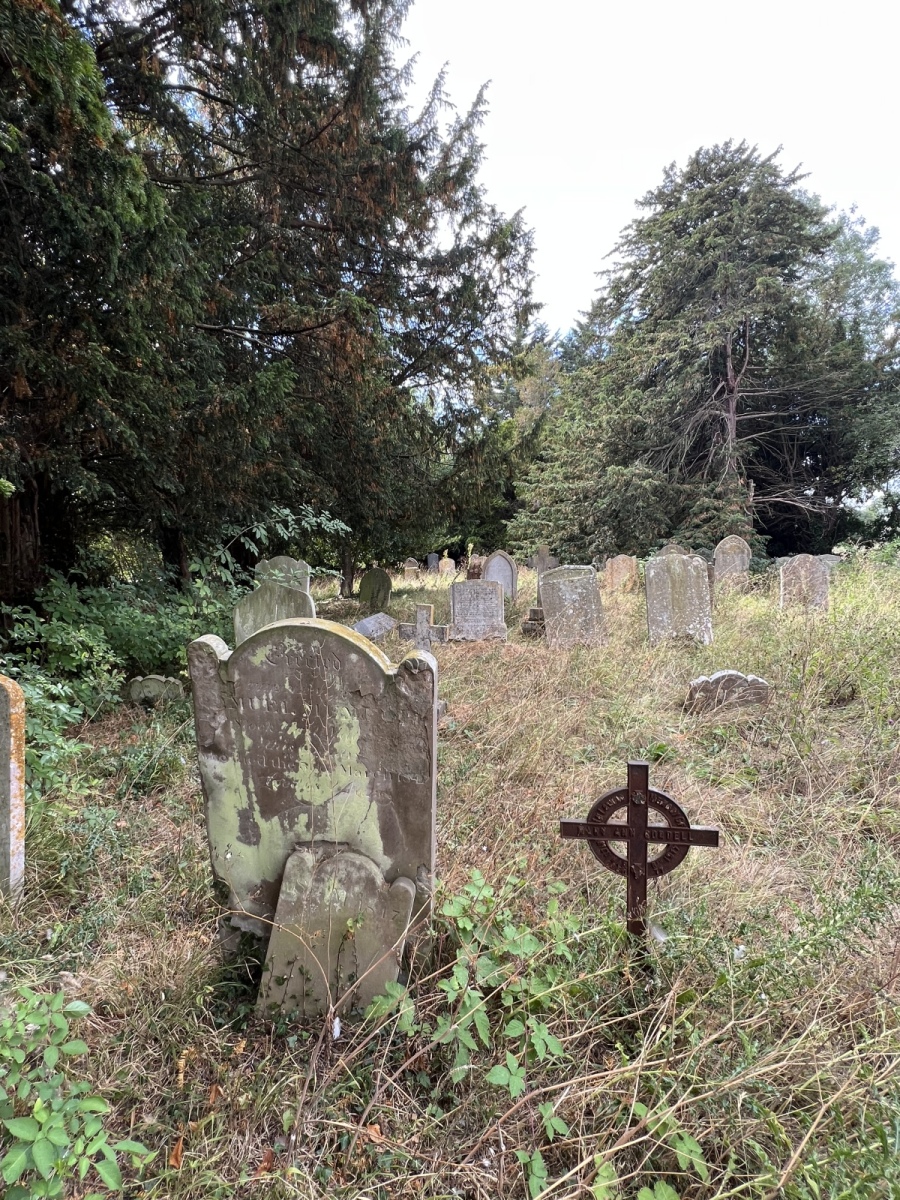
From here I follow Mill Street north for around two thirds of a mile until I reach Foster Street where I turn right. This is a leafy lane running east of Harlow Common along which there was once a windmill which explains nearby Mill Street. Maps from 1883 show a public house just off Foster Street called the Horns and Horse Shoes, this still exists today. There are a scattering of pretty cottages and bungalows along this road, now including the inevitable new builds. I continue east following the road for around half a mile. Hidden behind a hedge on Foster Street beside the last house on the left opposite the junction of Green Lane is an interesting site. Through a small white gate in the hedgerow is the Foster Street Non Conformist Burial Ground, also referred to as the Foster Street Baptist Cemetery. This was established by congregation leader William Woodward from Harlow in 1677 and remained in use until the late 1970’s. As this is such an old burial ground many of the graves have subsided and the site is in poor condition but this really is a very interesting and completely unexpected find. Within sight and sound of the M11, the placing seems odd today but at one time this would have been a remote rural location and a very peaceful place. Perhaps the most famous non conformist here is the poet and composer of ‘Nearer My God To Thee’, Sarah Fuller Flower Adams along with her parents Benjamin and Eliza Adams and her sister Eliza. All four lay in a large alter tomb to the east of the site in an open grassy clearing surrounded by wild primroses.
All Saints Church
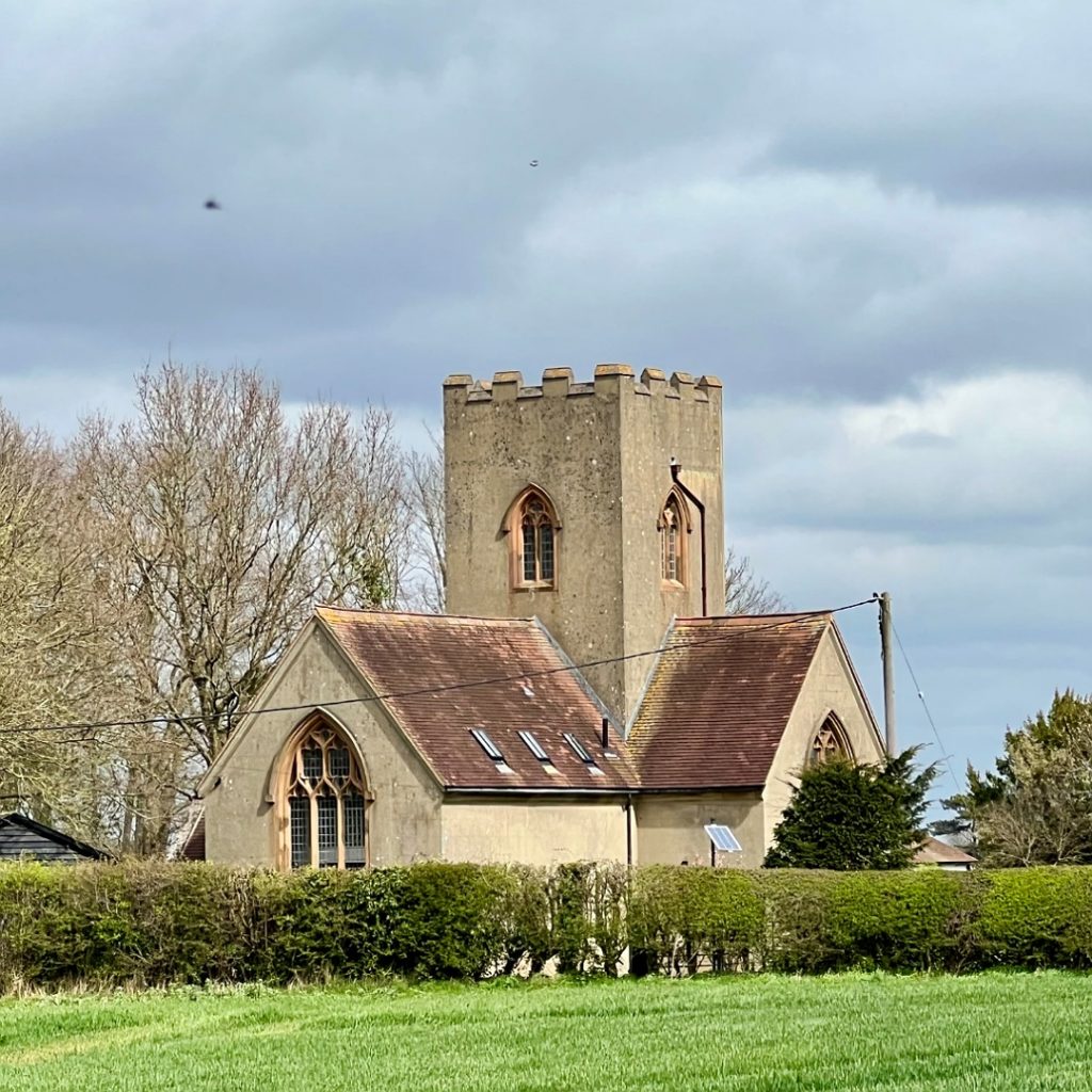
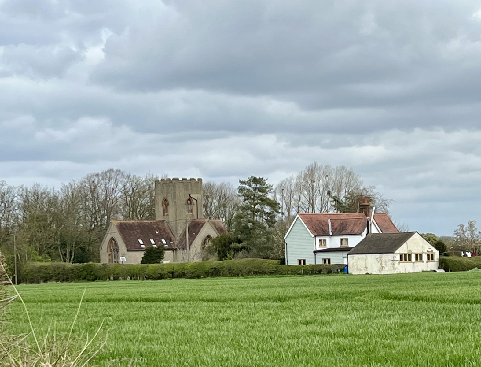
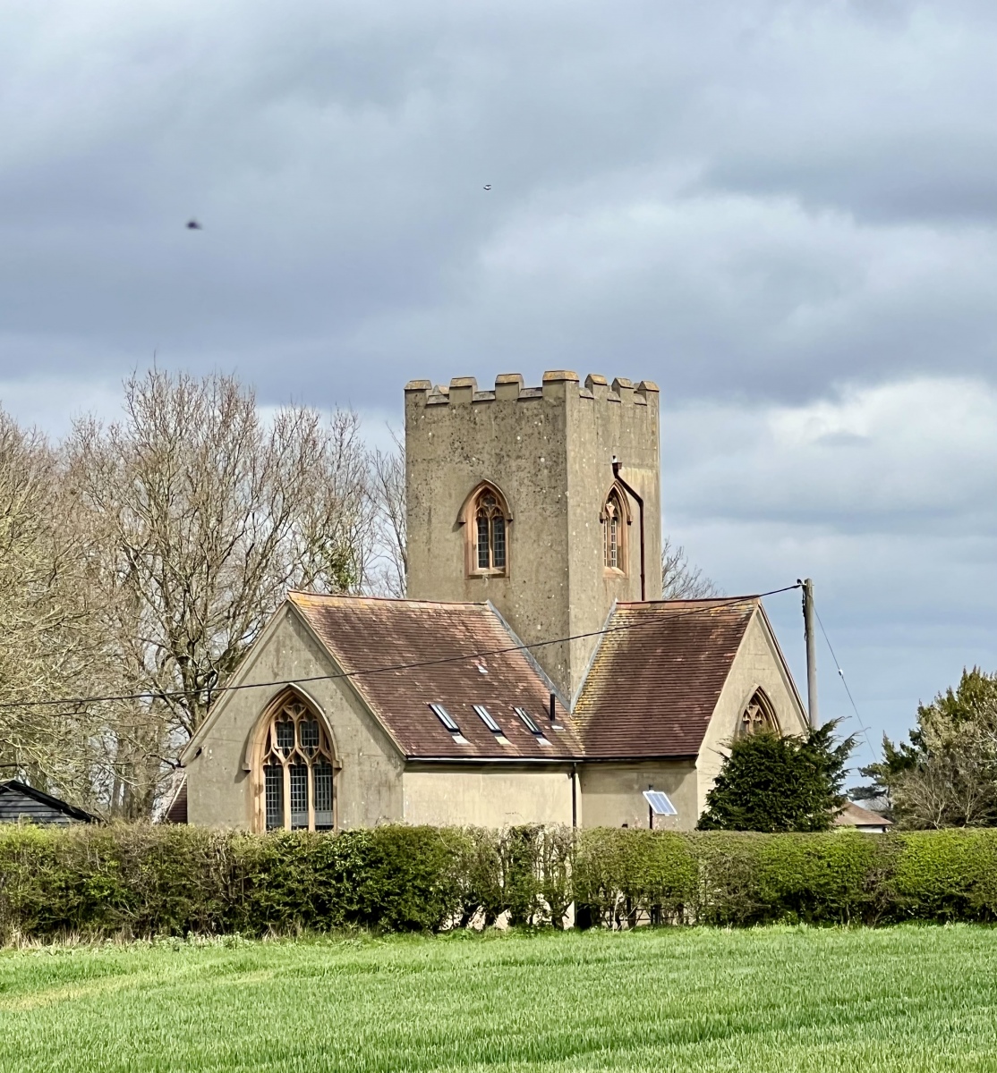
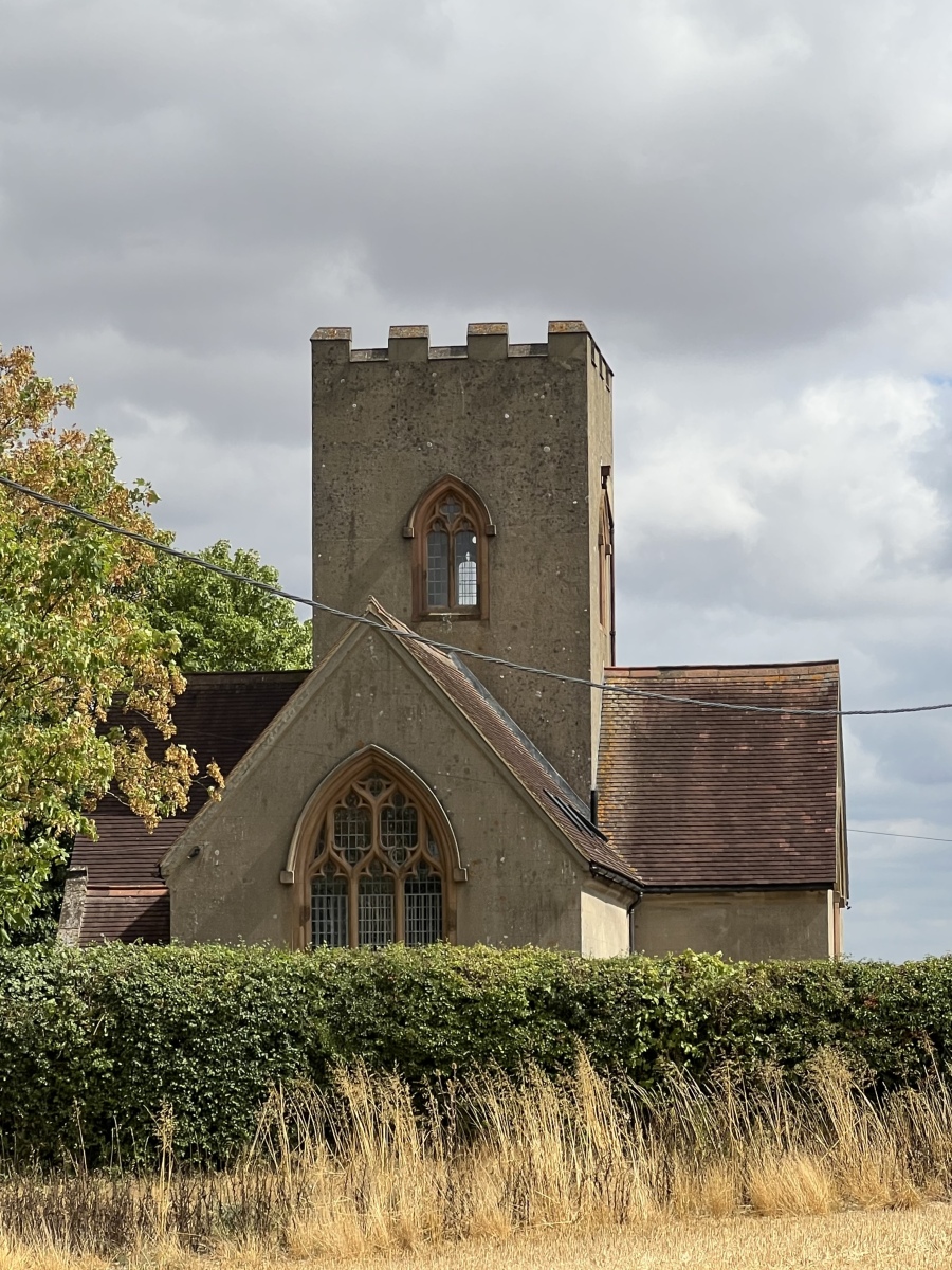
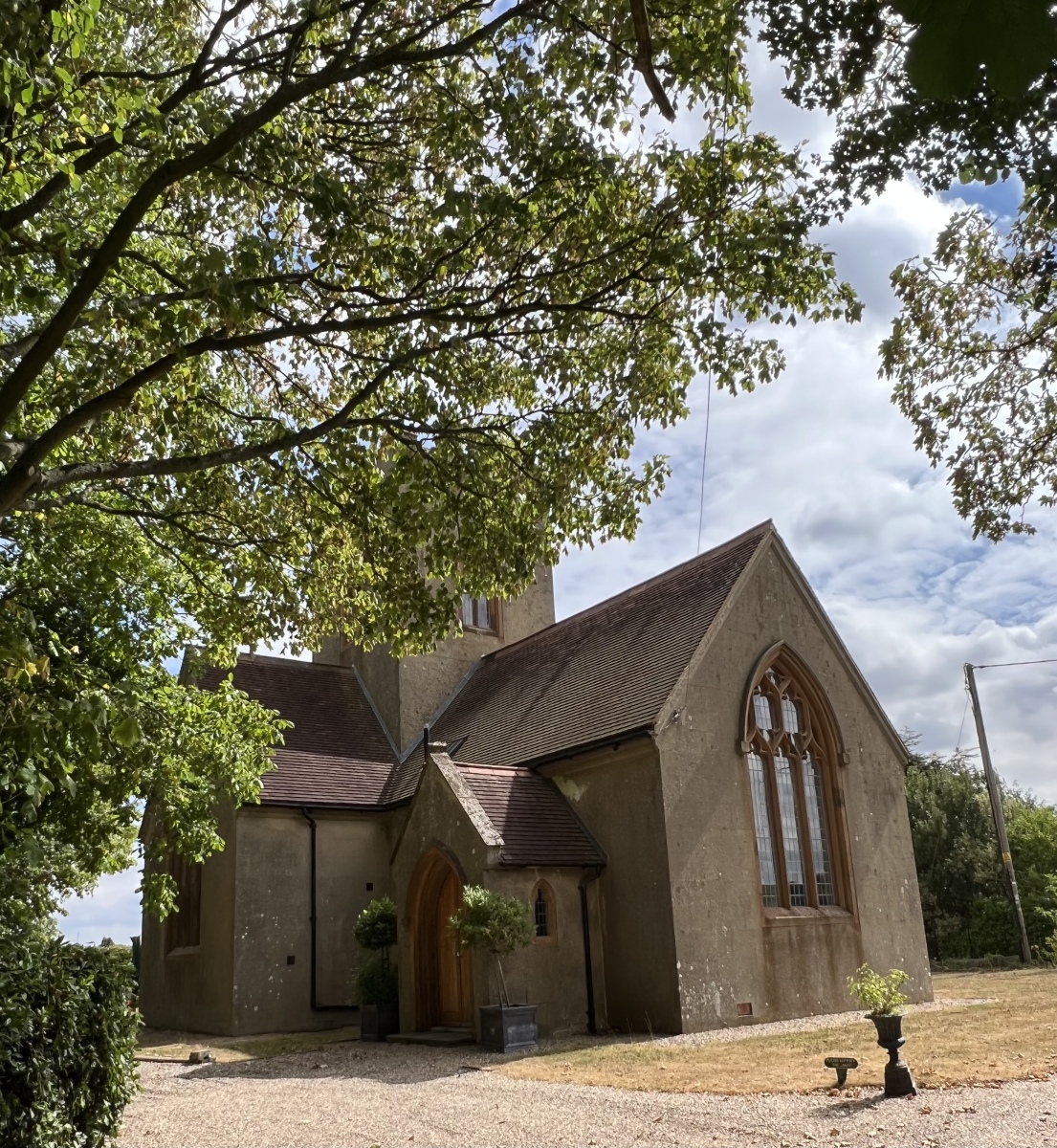
Looking east across the fields the former All Saints Church stands tall above the hedgerows. Built in 1873 by the Reverend Miller, brother of the Vicar of Harlow. The cruciform design is unusual with the bell tower being central rather than at one end of the building. This is only a short distance from the Non Conformist Burial Ground in an area which for many years was considered sacred to the Baptists of the Harlow parish. This place of worship was never consecrated and remained in use during the 19th and early 20th century, falling into disuse by 1961. A private buyer obtained the Church in 1975 but by 1979 it was derelict. All Saints is now once again restored and occupied as a private residence. Situated just beside the Church is All Saints Cottage, childhood home of Private Victor Albert Burton (38104) who served with the 1st Battalion Essex Regiment. After active service at the battle of Passcendaele he returned to the trenches where he suffered severe injuries and died aged just 23 on the 25th September 1917.
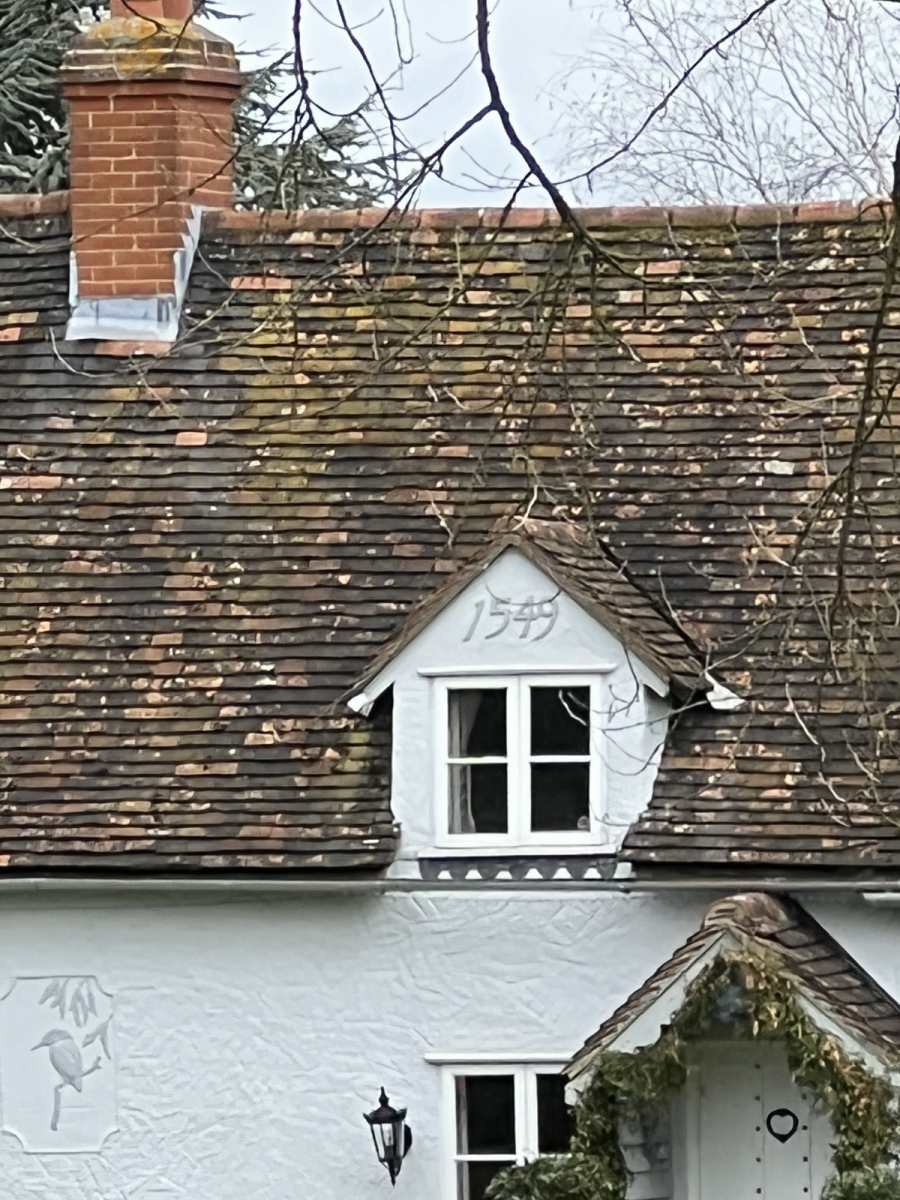
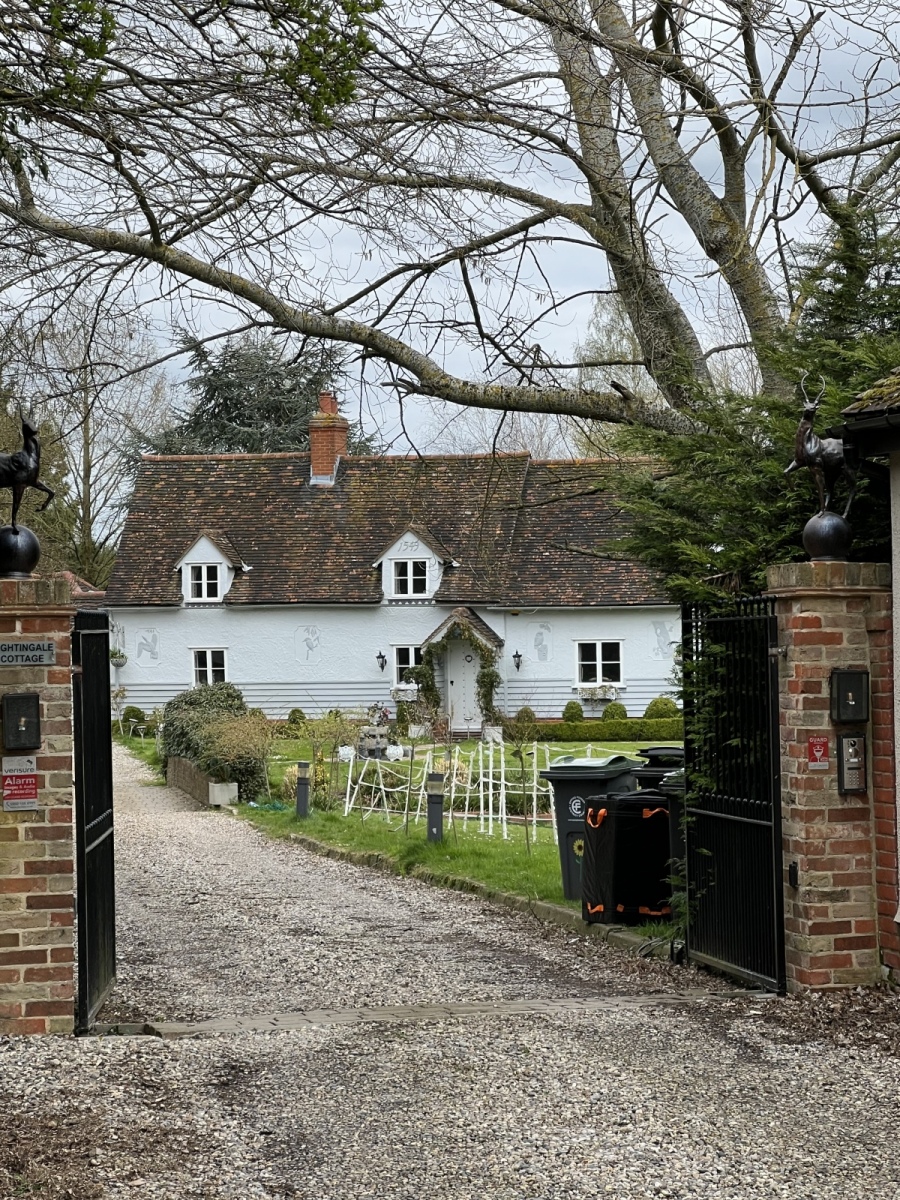
Crossing the road from here I head south down Green Lane for just under a third of a mile, where I turn right into the field along public footpath number 56 (North Weald Bassett) which I follow west along the stream for just over half a mile passing the rear of the 16th century Nightingale Cottage and down the driveway of Rondabush, exiting back out onto Mill Street. From here I turn left heading south down Mill Street for a quarter of a mile to its junction with Hastingwood Road where I turn right. Here I continue west along Hastingwood Road for around a third of a mile until I am back at the former High Cross Chapel on my left. I walk south down the lane beside the Chapel following bridleway number 19 (North Weald Bassett) back past Paris Hall and into the fields beyond where I turn right heading west back along public footpath number 29 (North Weald Bassett). I follow this south west back to Canes Farm. Crossing Canes Lane the A414 I turn left then right and follow public footpath number 8 (North Weald Bassett) south west back towards the M11 then south along the field edge on the motorway embankment until I once again reach the alleyway leading back out onto Weald Hall Lane beside The Croft cottage. Here I turn right heading west along Weald Hall Lane for around half a mile until reaching Duck Lane on my left, which I follow south back to Wintry Wood and Epping where I began.
This walk started with a concern that Hastingwood and Foster Street would be of limited interest as a countryside walk, but has ended with some of the most fascinating history and unexpected surprises. The narrow lanes here have a tranquil and almost timeless feeling owing mostly to the fact so many old dwellings remain here unchanged by the centuries. The Non Conformist Burial Ground turned up purely by chance in my prior research, I had not originally intended to walk past this location. All Saints Church which was derelict before coming into private ownership does not appear on recent maps, I just happened to spot the tower on Streetview and realise there was no mention of a Church at Foster Street so investigated further. These details show that even the most unassuming locations are often worthy of more detailed research for sites which may not be widely mentioned. Having spent some time exploring this location more closely I now have a greater understanding of Hastingwood and Foster Street. These tiny and ancient hamlets it turns out, are far more than just place names beside a busy motorway interchange. They are a small but intrinsic remainder of what was once the ancient parish of Harlow, a sprawling countryside district of scattered rural hamlets and villages.
Further reading from external sources:
![]()
