Epping Uplands And The War.

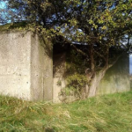
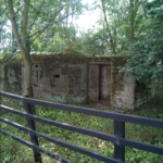
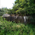
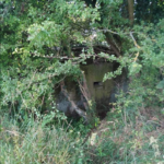
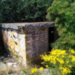
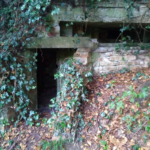
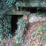
It wouldn’t be unusual to stumble across the odd wartime military pillbox while walking along the bridleways and footpaths of the Uplands & Lea Valley but the role these hills played in the war efforts all too often is left untold, and deserves a mention.
Through the summer months I spent some time following public footpaths and bridleways through the uplands branching off of Epping Long Green which I had found various wartime relics of infrastructure alongside and set out in search of others I had read about, some of which are visible on Google Earth.
From the Lea Valley across the Uplands toward Epping and beyond are a line of concrete Pillboxes which formed the outer London defences, more than one can be found on Harolds Park Farm and others beside Cobbins Brook and near Copped Hall heading East into the Roding Valley.
It was from the hills of the Uplands the fightback would have begun had London been invaded, but much hidden activity went on in the hills above the city to ensure invasion would never be an easy task for the enemy.
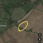
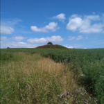
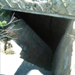
Nazeing played a crucial role in protecting London from enemy attack and one of the most important wartime relics can be seen on the western slopes of Nazeing Common. Google earth shows 2 conspicuous rounded mounds in a field beside the Crooked Mile opposite the junction of Back lane in Nazeing and these curious large mounds hid a clever secret.
These mounds were underground control rooms and in the field beside them was a decoy airfield which was made using theatrical lighting on posts of varying height up the hillside which from above looked like a flat landing strip. During the daytime wooden spitfires were wheeled around the field to create the image they were landing and taking off. So convincing was this fake airfield that a biplane in trouble made an emergency landing, only discovering it wasn’t actually a landing strip when the dazed pilot ended up upside down in a hedgerow. So impossible for planes to access, the only way to recover the biplane was for the RAF to dismantle it and load it on a truck in pieces on the Crooked Mile.
The whole purpose of this fake airfield was to act as a decoy for North Weald airport and for six months enemy planes dropped bombs on an empty field in the middle of nowhere because they believed it was the intended target, which gave the real North Weald airport an extra six months to carry on sending planes up to defend the city, causing confusion and mayhem among enemy forces who were launching air attacks in completely the wrong place.
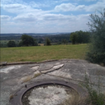
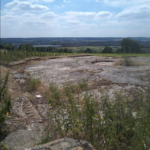
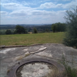
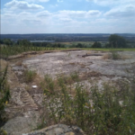
Further south on Kennel Wood Hill were the placements for the anti aircraft machine guns which are still largely intact. On this hillside there are panoramic views over the southern Lea and Thames valleys and enemy aircraft attacking London were taken down from up here. There is evidence German forces eventually knew something was going on in these hills as records show a point where bombing intensified around the Galley Hill Green area and at what now forms Harolds Park Farm, but not before they were duped for months into attacking an airfield that never existed. Evidence also shows that although some of the defenses took near misses, none took a direct hit.
The hills of the uplands left behind after the last ice ace have stood watching over the Thames valley like silent guardians for thousands of years and were perfectly placed to defend London during the war. It would be by no means an overstatement to say the city in it’s hour of need owed a huge debt to these magnificent hills
