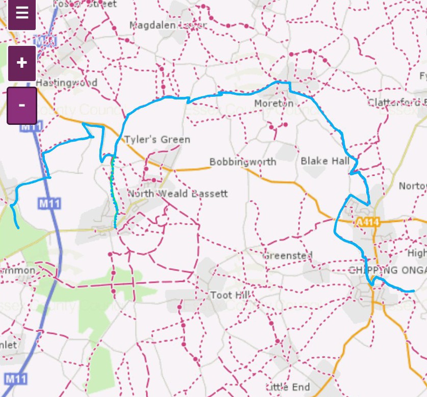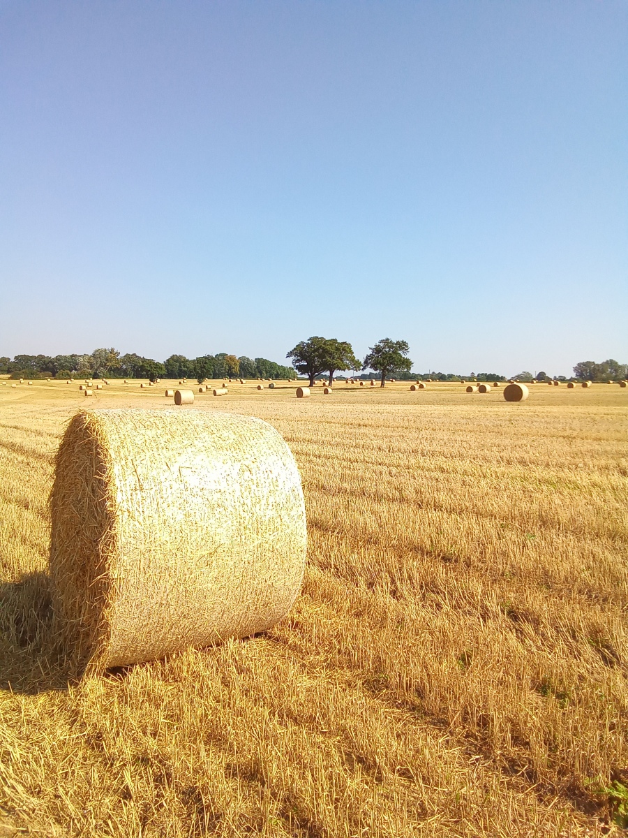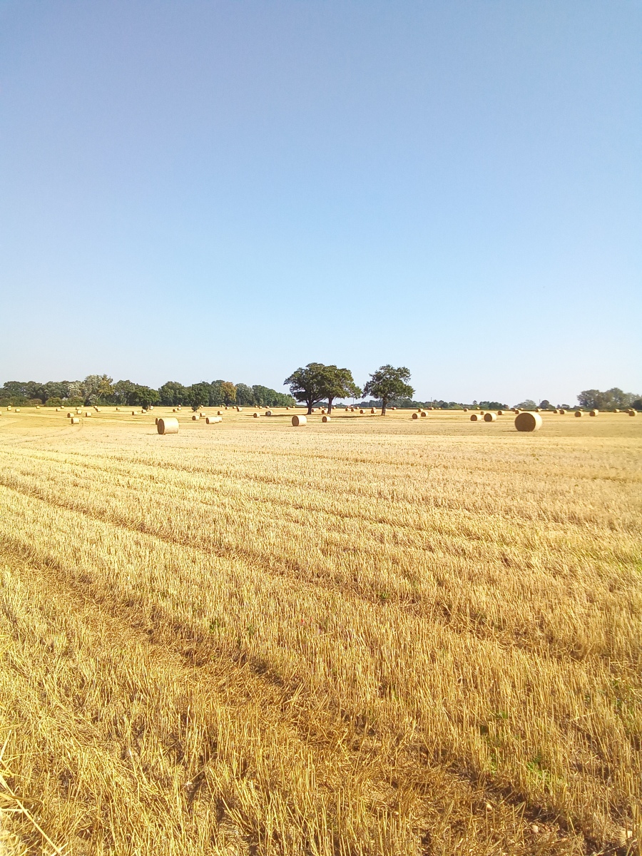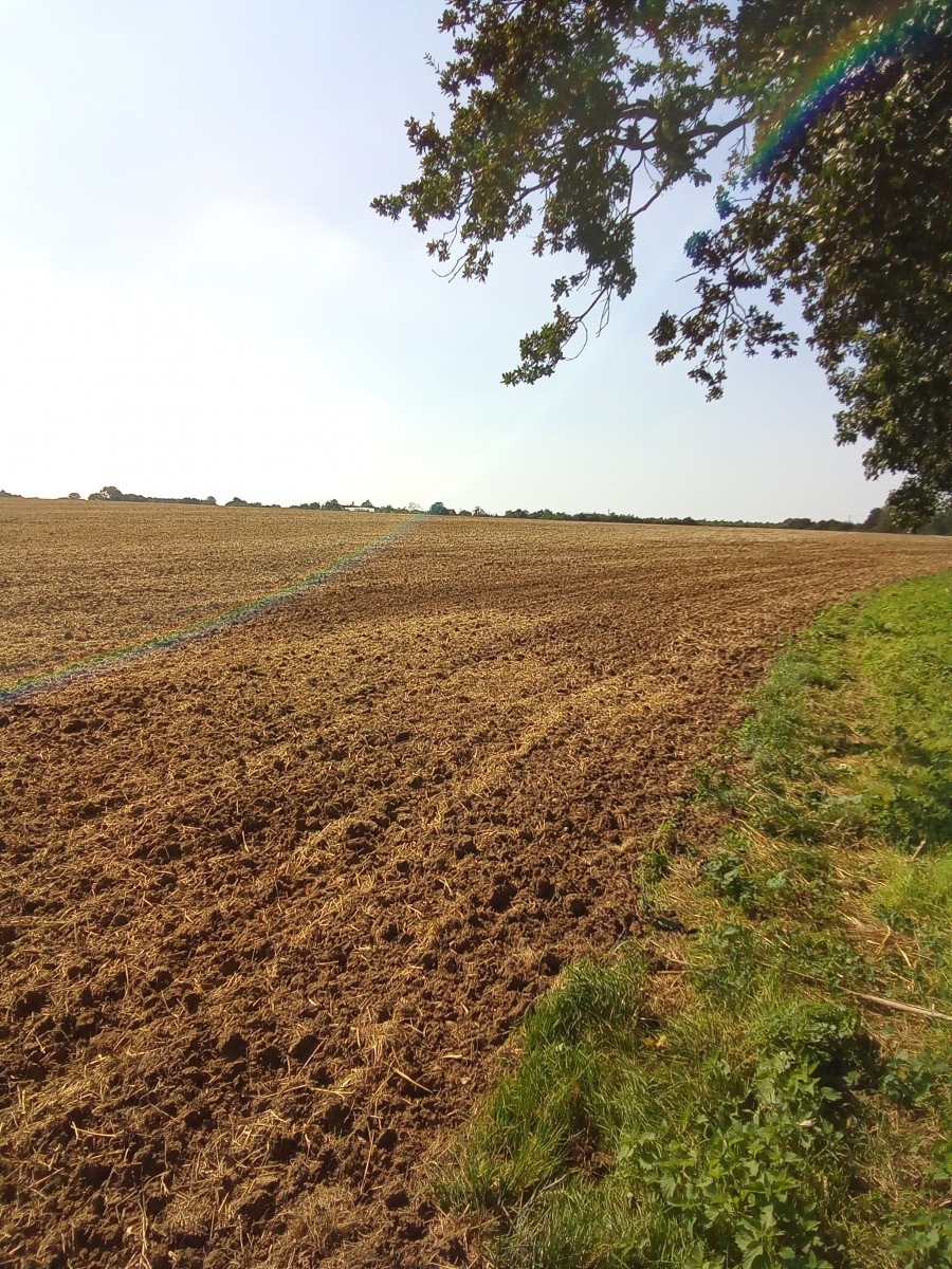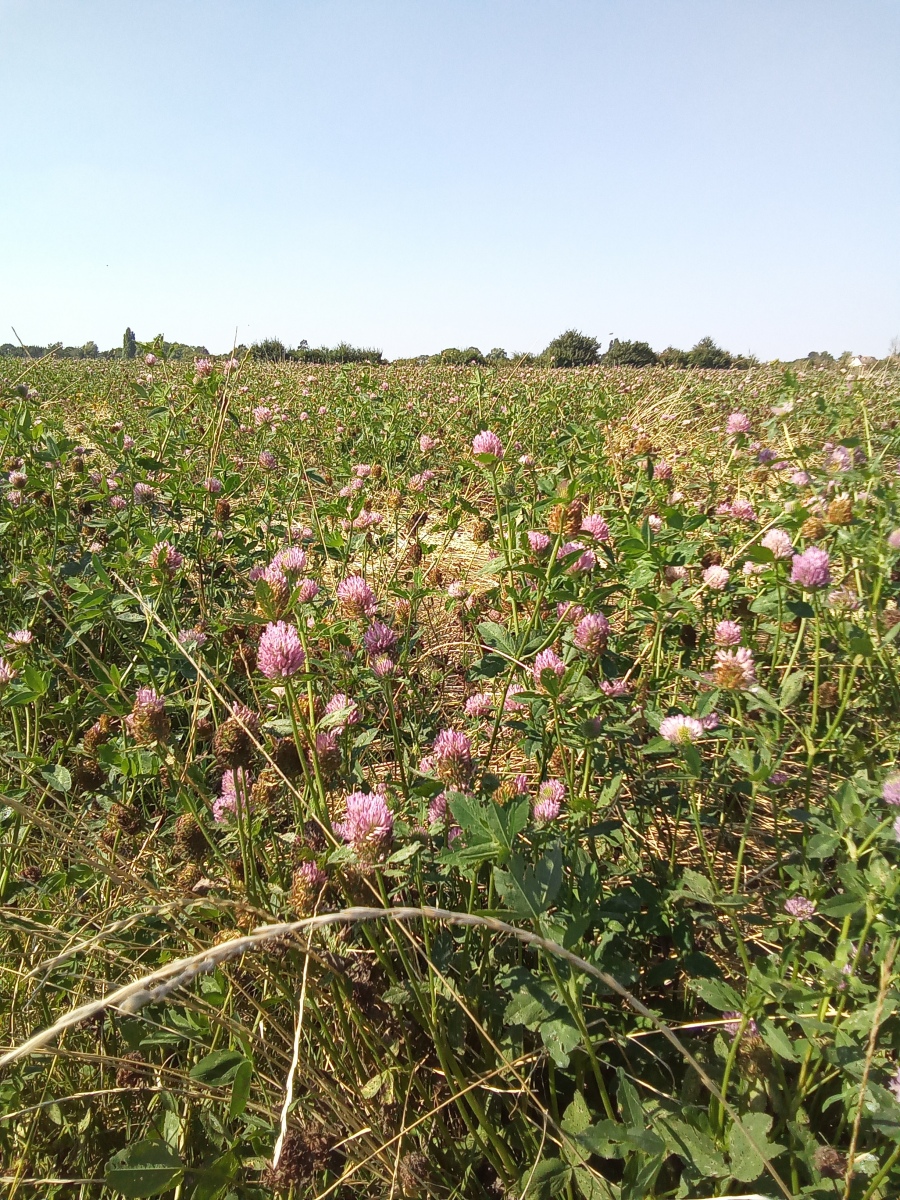
This walk follows the course of Cripsey Brook from its source to the river Roding. Part of the route near the beginning is very challenging and it may be easier to pick the route up at further points so I have included an alternative starting point as well (marked with a dotted line on the map). Downstream to the east Cripsey Brook widens considerably as it winds through beautiful farmland alongside some of the prettiest villages on its way to the river Roding and it really feels miles away from anywhere.
Ordnance survey map credit to Essex County Council
https://www.essexhighways.org/getting-around/public-rights-of-way/prow-interactive-map
From Humble Beginnings
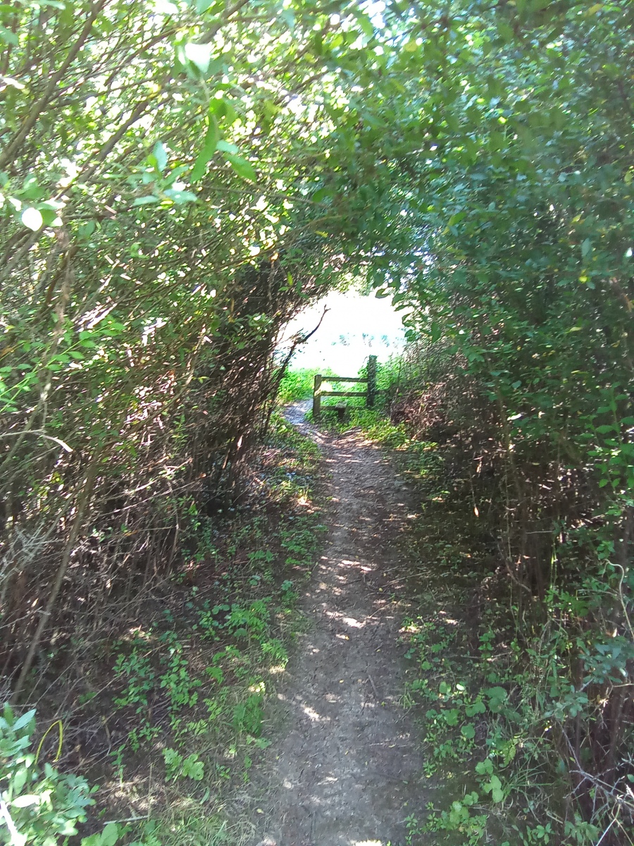
Starting in the heart of Wintry Wood, I follow one of a number of small tributary streams of Cripsey Brook which rise in Thornwood. My chosen stream runs north alongside the Stump Road. Keeping the stream to my right I follow the length of the Stump Road exiting onto Woodside where I cross the road onto Duck Lane. At the end of Duck Lane I turn right onto Weald Hall Lane heading east across the M11. Immediately across the motorway on my left I cross a style onto footpath number 8 (north weald bassett) through an alleyway between the motorway and the neighbouring property. I follow this alongside the motorway for around 575 yards along the field edge then turn right along footpath number 51 (north weald bassett). To my left is the beginning of Cripsey Brook from Thornwood in the hedgerow. I follow the path east for just over three quarters of a mile keeping the brook to my left until my path is blocked by a hedge with a tarmacked lane the other side. From here this part of the route is not for the faint hearted and is extremely challenging. I now head south some distance along the hedgerow until I can find any break in the hedge to allow me to exit onto the lane.
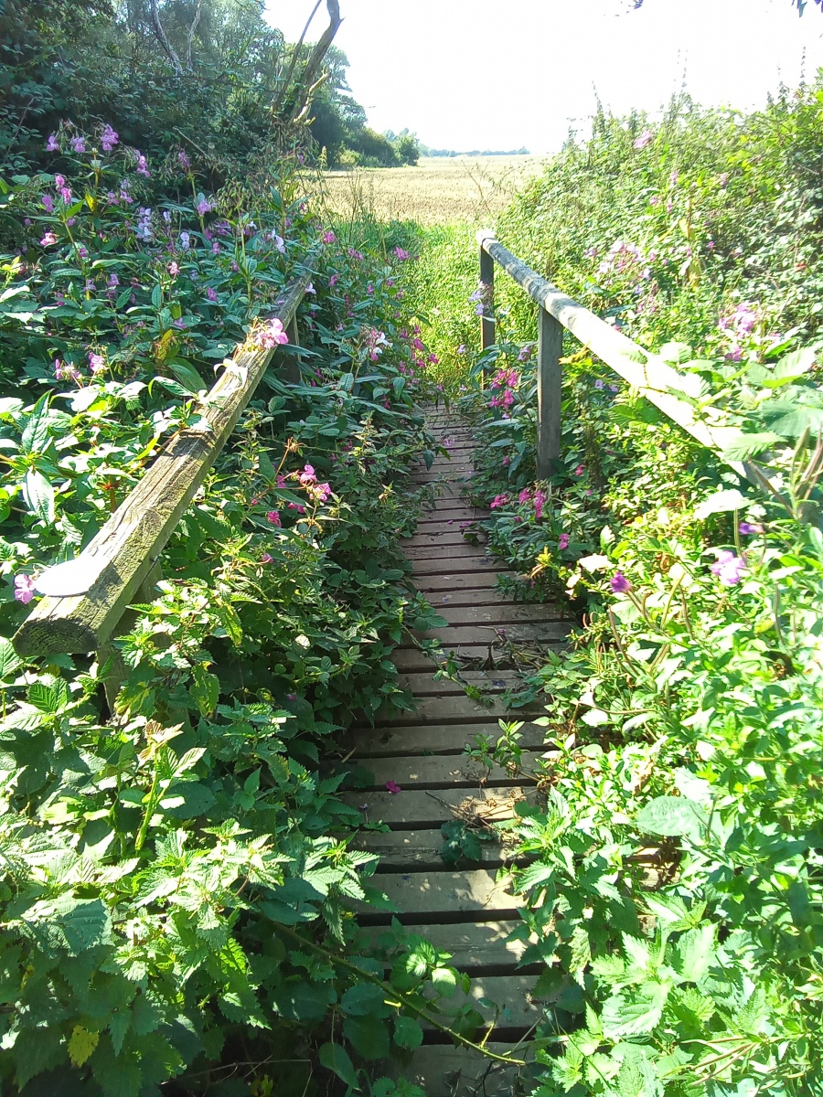
Once on the lane, I head north towards the A414. Near the end of the lane is a sliding gate which opens automatically as I approach, allowing me to exit onto the A414. This is extremely busy and the traffic very fast, extreme caution should be taken to keep on the verge. Here I turn right heading east for just under a quarter of a mile to the roundabout, where I turn right heading south down Rayley Lane for just over half a mile before turning left through the hedgerow to join footpath number 31 (north weald bassett) which I follow east for around 380 yards. I then turn left heading north along bridleway number 19 (north weald bassett) which I follow for just over half a mile through a tunnel below the A414 then crossing a footbridge over Cripsey Brook.
Alternatively it is possible to avoid this section of the walk by starting at Church Lane in North Weald opposite Station Road and picking up footpath number 43 (north weald bassett) beside number 27 Church Lane and following it north through the Church Lane flood meadow for around two thirds of a mile keeping the hedgerow and Church Lane to the left, then exiting onto Vicarage Lane and turning left then right crossing over to pick up bridleway number 19 (north weald bassett) then heading north for over half a mile through the disused golf course and going through the tunnel below the A414 then crossing the footbridge over Cripsey Brook. Once over the bridge I then turn immediately right heading east along footpath number 30 (Magdalen laver) which merges onto footpath 28 (Magdalen laver) for half a mile before the footpath merges onto public byway number 24 (Magdalen laver) keeping the brook on my right.
I now come out onto a track through Kents Farm onto Kents Lane which I follow east for around 560 yards exiting onto Weald Bridge Road where I turn right then left into the field to pick up footpath number 21 (Magdalen laver) which I follow for around a third of a mile keeping the brook to my right then exiting onto Ashlyns Lane where cross over to continue east along footpath number 1 (Bobbingworth). Again I keep the brook to my right for around 280 yards before turning right and crossing a footbridge to continue along footpath number 1 (Bobbingworth) which merges with footpath 18 (Moreton), this time keeping the brook to my left for just over three quarters of a mile. I then turn left to cross a footbridge following footpath number 17 (Moreton) a short distance before turning right onto footpath number 15 (Moreton) which brings me out onto Harlow Road in the village of Moreton.
Moreton
Moreton is a very pretty Essex village which historically has always been a rural parish where the main source of employment was agriculture. There are a number of interesting surviving old buildings here. The house at Hill farm to the east of the village dates to the 15th century but records show even older buildings existed here which are long since demolished. West Essex is known to have a large number of surviving moats which would have been associated with manor houses centuries ago, but Moreton has considerably more of these than usual which indicates that this was once a village of great importance to the area.
The entry for Moreton in the Doomsday Book 1086 reads:
5 plough teams in the manor, woodland for 400 swine and 20 acres of meadow.
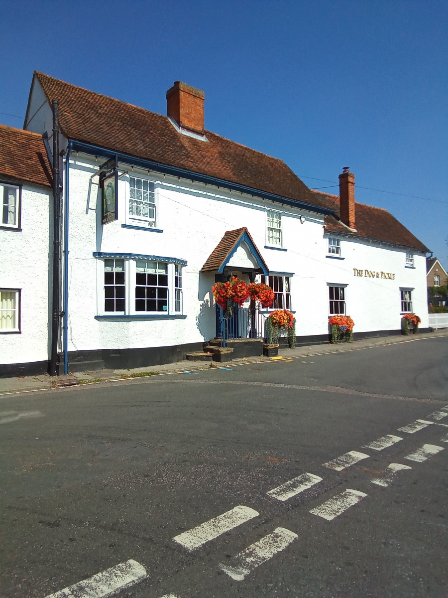
To the south of the village a watermill once operated on Cripsey Brook and to the north of the village there was a windmill. To the east of the village is the Church of St Mary the Virgin, records show there has been a place of worship here since the 11th century. In the centre of Moreton are two Inns, one believed to be 16th century and another 18th century giving the village a very old atmosphere. There is also a feeling of remoteness and an overwhelming temptation to explore this attractive village with its lovely old buildings and narrow lanes.
Bobbingworth
Situated south of Moreton is Bobbingworth which is likely to have been a Saxon settlement. Like Moreton this also has an ancient history of being a rural community with its roots firmly in agriculture.
The entry for Bobbingworth in the Doomsday Book reads:
1 Lord’s plough teams, meadow 4 acres, woodland for 80 pigs.
Today little has changed with the rural aspect of these villages. Country manor house Blake Hall in Bobbingworth was once served by Blake Hall tube station a mile away, which opened in 1865 and closed in 1981. The station was reputed as one of the least used on the entire tube network. Blake Hall itself became an unlikely centre of operations for the Royal Air Force in the war after the bombing of nearby North Weald Aerodrome.
Leaving the village of Moreton I turn down Bridge Road past the White Hart pub carpark and cross the humpback bridge over Cripsey Brook then immediately turn left to follow footpath number 12 (Moreton) south east which merges with footpath number 15 (Bobbingworth) for around a mile keeping the brook to my left before exiting onto Moreton Road and turning left for a short distance before picking up footpath number 31 (Ongar) on my left for around 370 yards.
Shelley
I am now entering Shelley Common where I pass a Bronze Age burial mound in a field beside the brook which is so unassuming that one would not even know it was there, a reminder of the ancient past of this beautiful landscape and the importance of this location along Cripsey Brook to prehistoric civilizations. Just a few yards away to the north two further Bronze Age burial mounds survive forming a neat row.
The village of Shelley was also once mainly rural with its main source of employment being agriculture. There were few residents here in the early 18th century and this will have been a very small community which changed dramatically after the second world war with substantial residential development in the mid 1940s.
The entry for Shelley in the Doomsday Book reads:
1 Lord’s plough teams, 2 men’s ploughs teams. 20 acres of meadow, woodland for 150 Pigs.
The more notable buildings here are the 15th century timber framed Shelley Hall and the medieval Church of St Peter which was repeatedly rebuilt over the centuries in different styles. Records show the village was once under the ownership of Geoffrey De Mandeville, the Earl of Essex and Tenant in chief to William the Conqueror.
Again I keep the brook to my left before crossing a footbridge and turning right onto footpath number 22 (Ongar) continuing along the edge of the common with the brook now on my right for just under half a mile, exiting from an alleyway onto Moreton Road beside number 38. Here I turn right heading west for around 475 yards before picking up footpath number 61 (Ongar) on my left heading south down a track along the rear of Cripsey Avenue which merges with footpath number 62 (Ongar) keeping the brook on my right for around a third of a mile until I reach the A414 where I cross over turning right then left immediately after the bridge keeping the brook on my left onto footpath number 25 (Bobbingworth) heading south, I then go through a tunnel below the Ongar Epping railway joining footpath number 12 (Ongar) which merges with footpath number 44 (Ongar) for around 650 yards then exiting onto Rodney Road.
Here I head south turning left down an alley beside number 42 to join footpath number 14 (Ongar) heading south through Ongar nature reserve for around 180 yards and exiting onto Ongar High Street. Here I turn left then cross over and turn right down Bushy Lea, at the end of which I go through a gate into a cow field baring right onto footpath number 11 (Ongar) for a short distance before crossing a footbridge over Cripsey Brook and continuing south east along footpath number 34 (Ongar) keeping the brook on my left. After around 500 yards Cripsey Brook enters the river Roding ahead of me, bringing this walk to an end on a wonderfully hot late summer day.
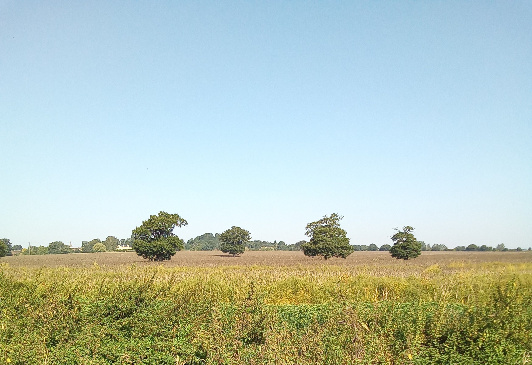
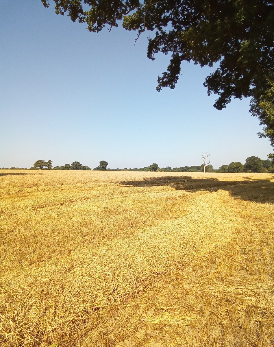
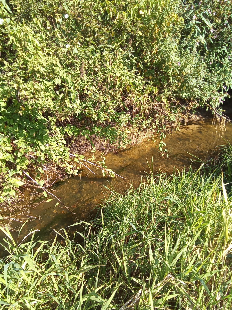
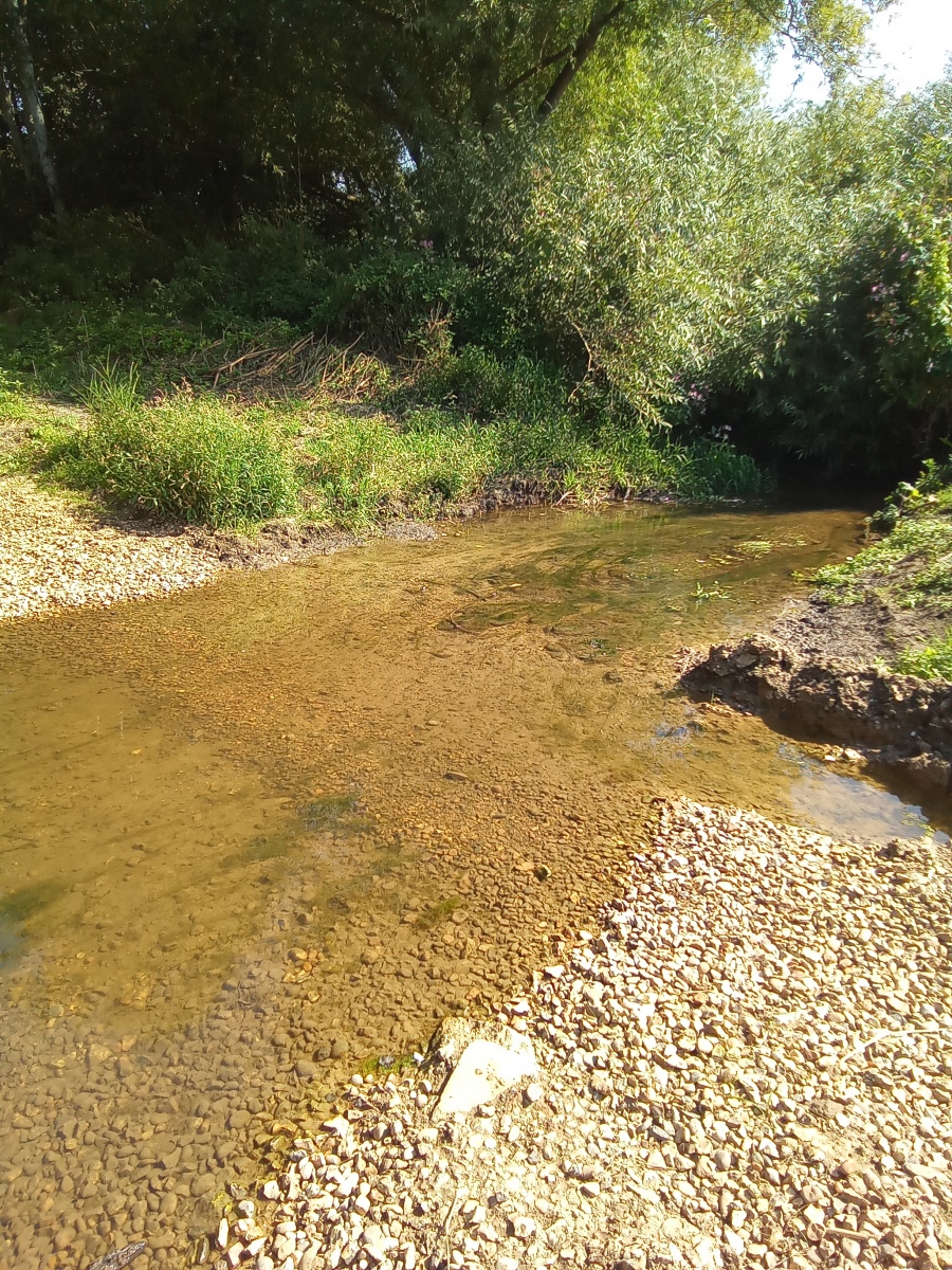
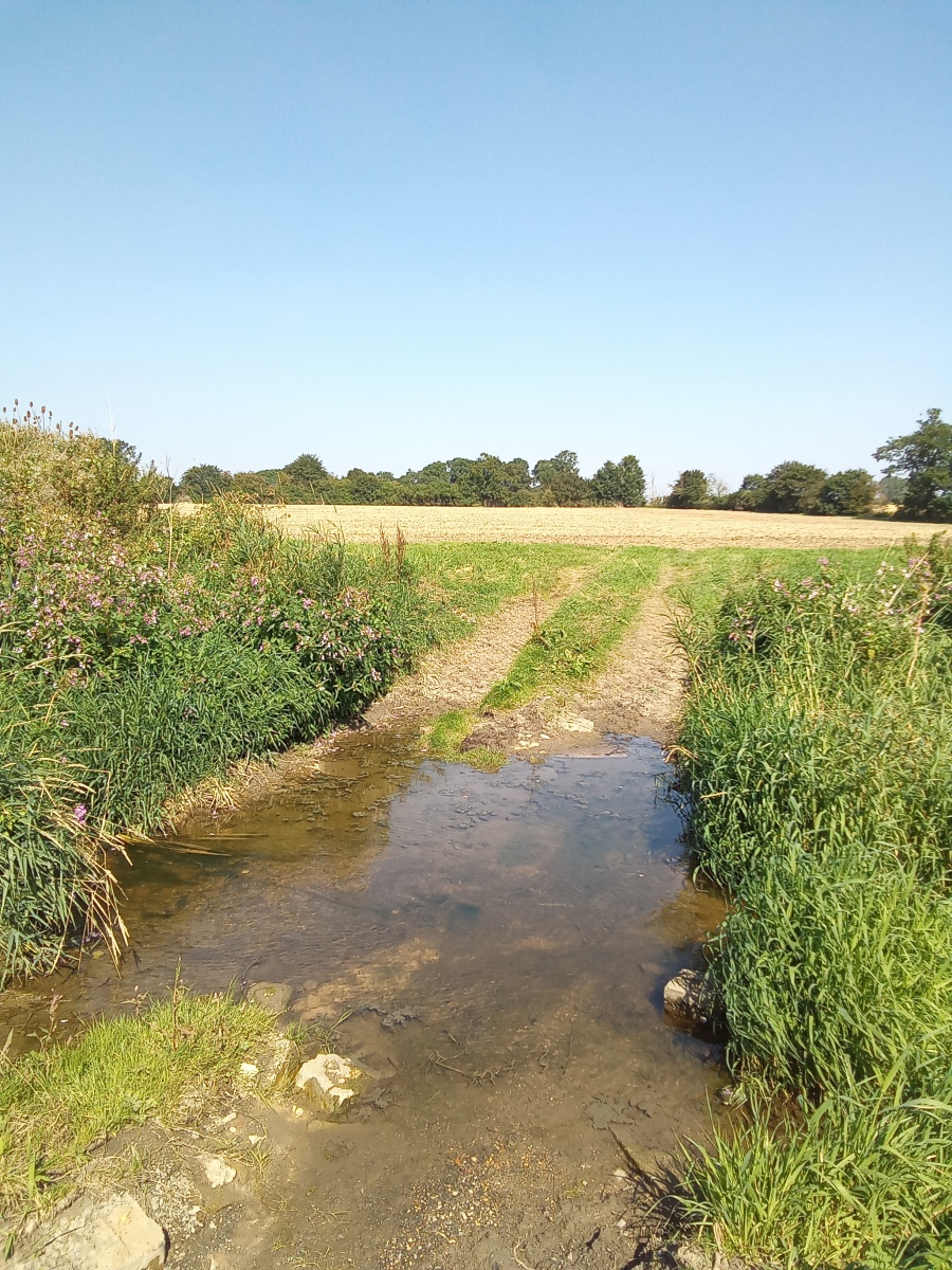
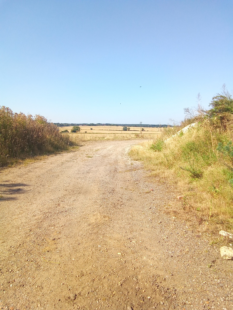
As the brook travels east it begins to become noticeably wider giving rise to a number of fords and footbridges through farmland as crossing points. At some places the crossings of the fords are so wide that this feels more like a river walk than a brook, in places actually wide enough that farm livestock find their way into it to cool themselves down. The countryside along the shallow valley which carries Cripsey Brook east across the district has some of the most beautiful local scenery and the route takes in some equally attractive buildings and villages along the way which feel worlds away from either Epping or Ongar but really are not that far off the beaten track.
Further reading from external sources:
