The Rodings

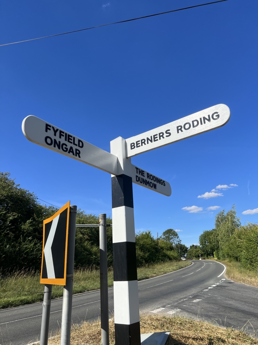
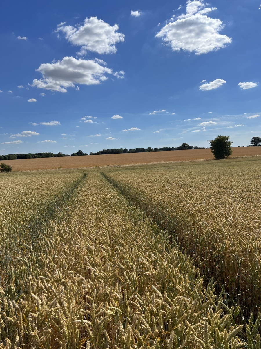
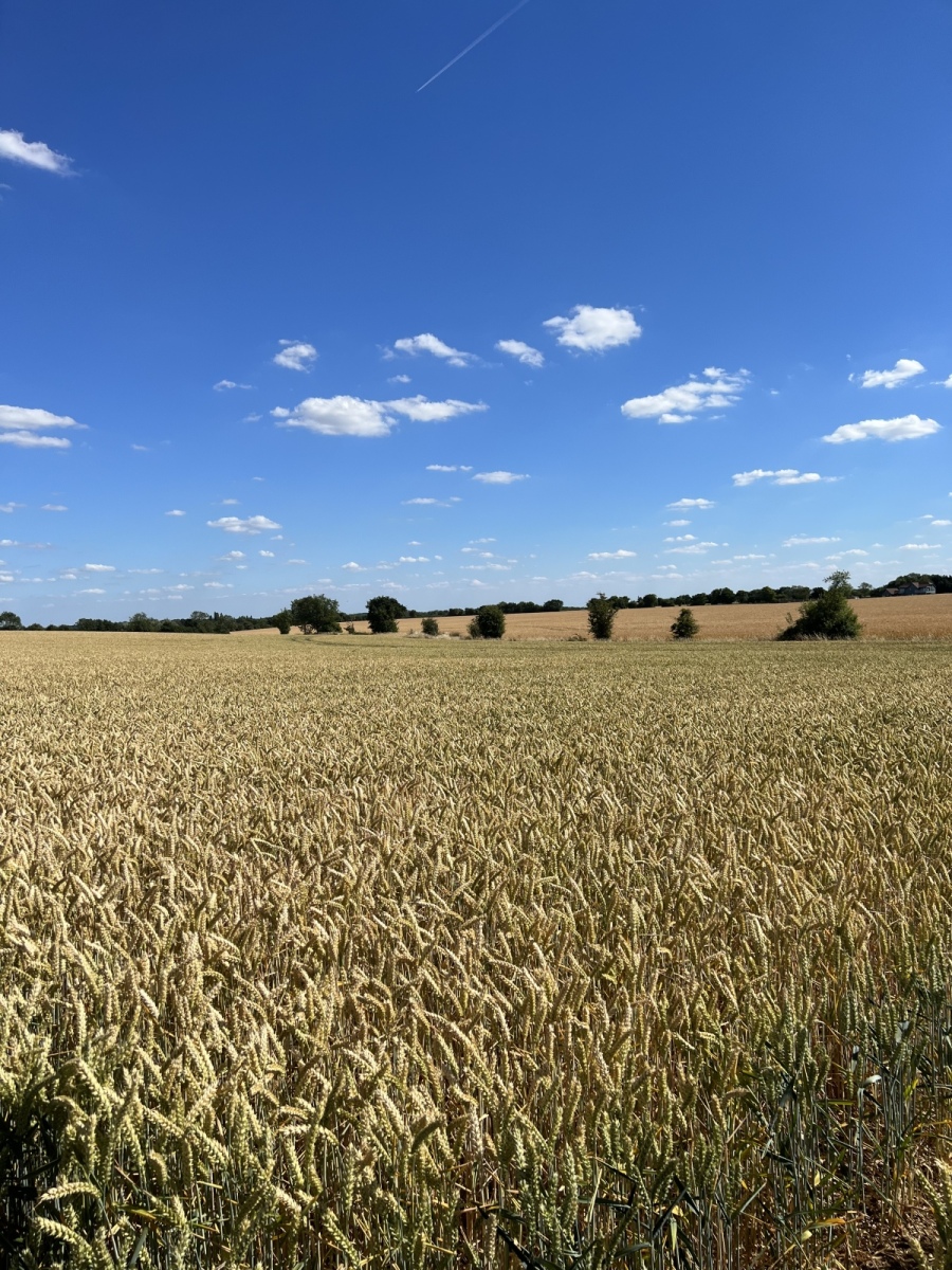
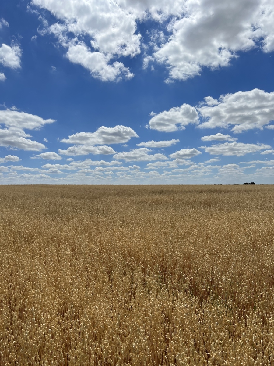
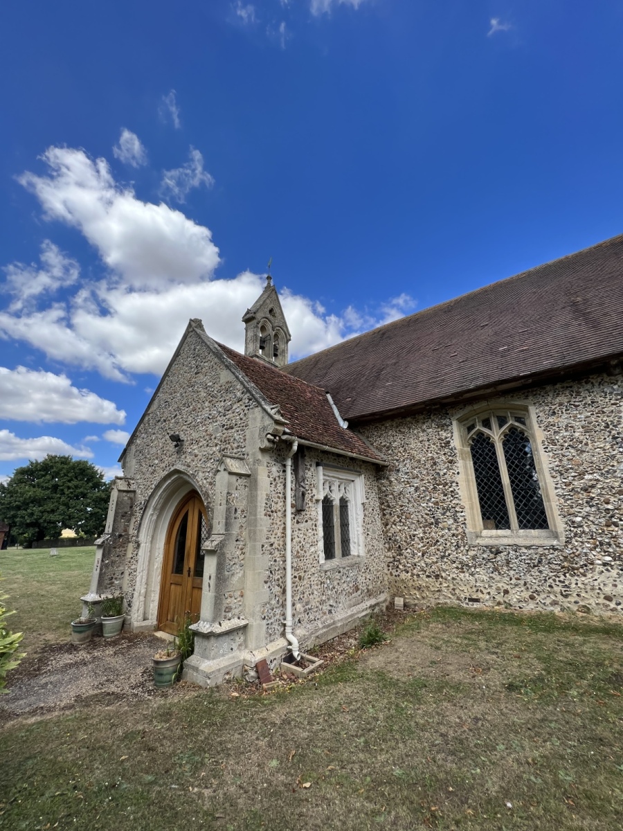
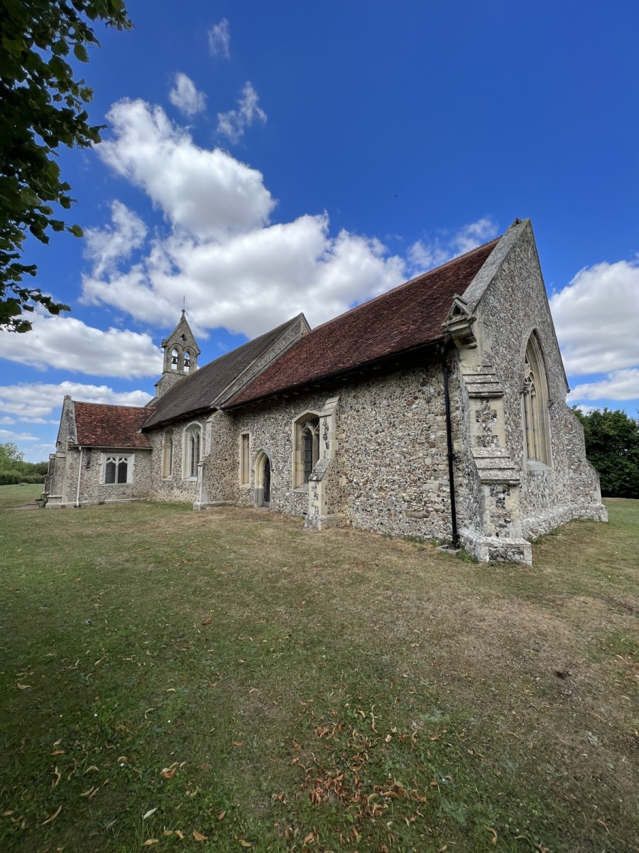
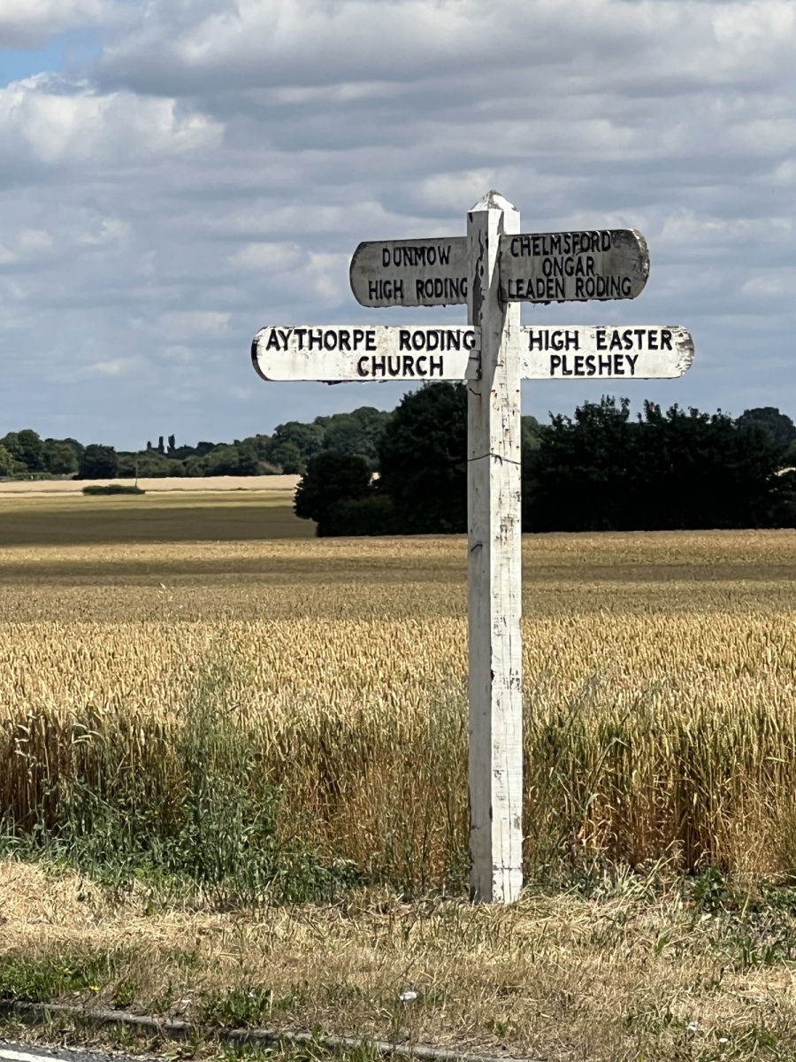
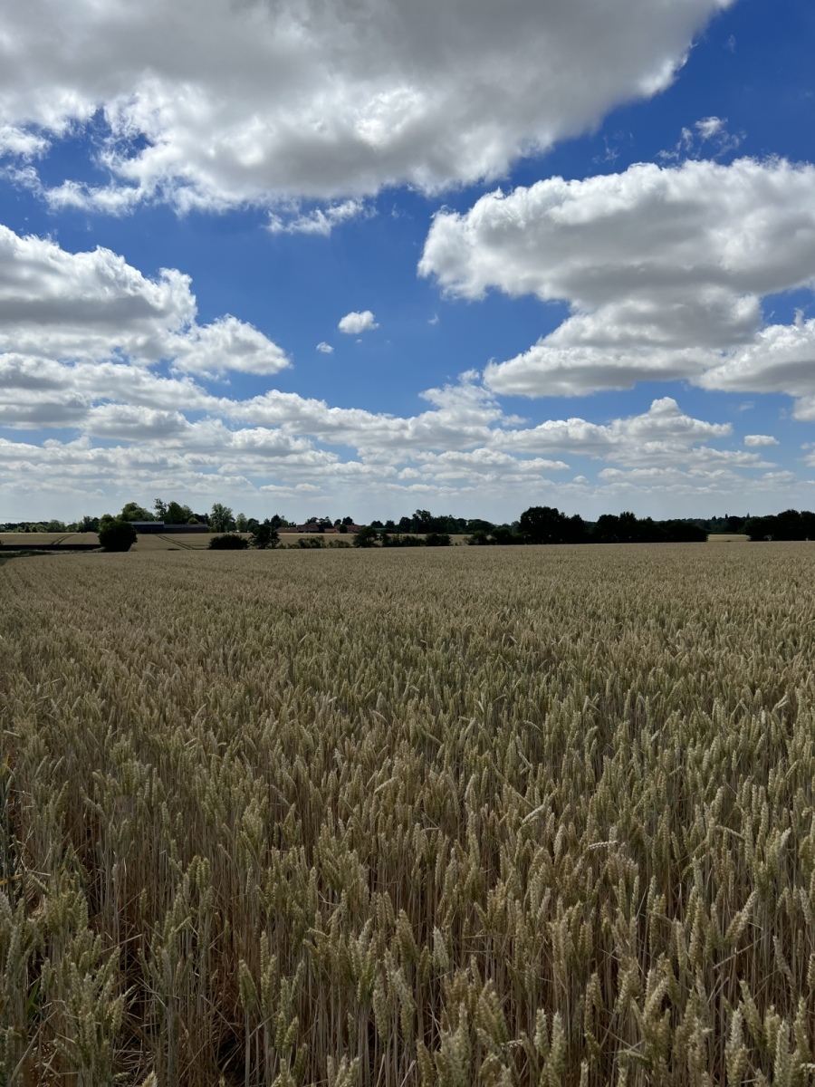
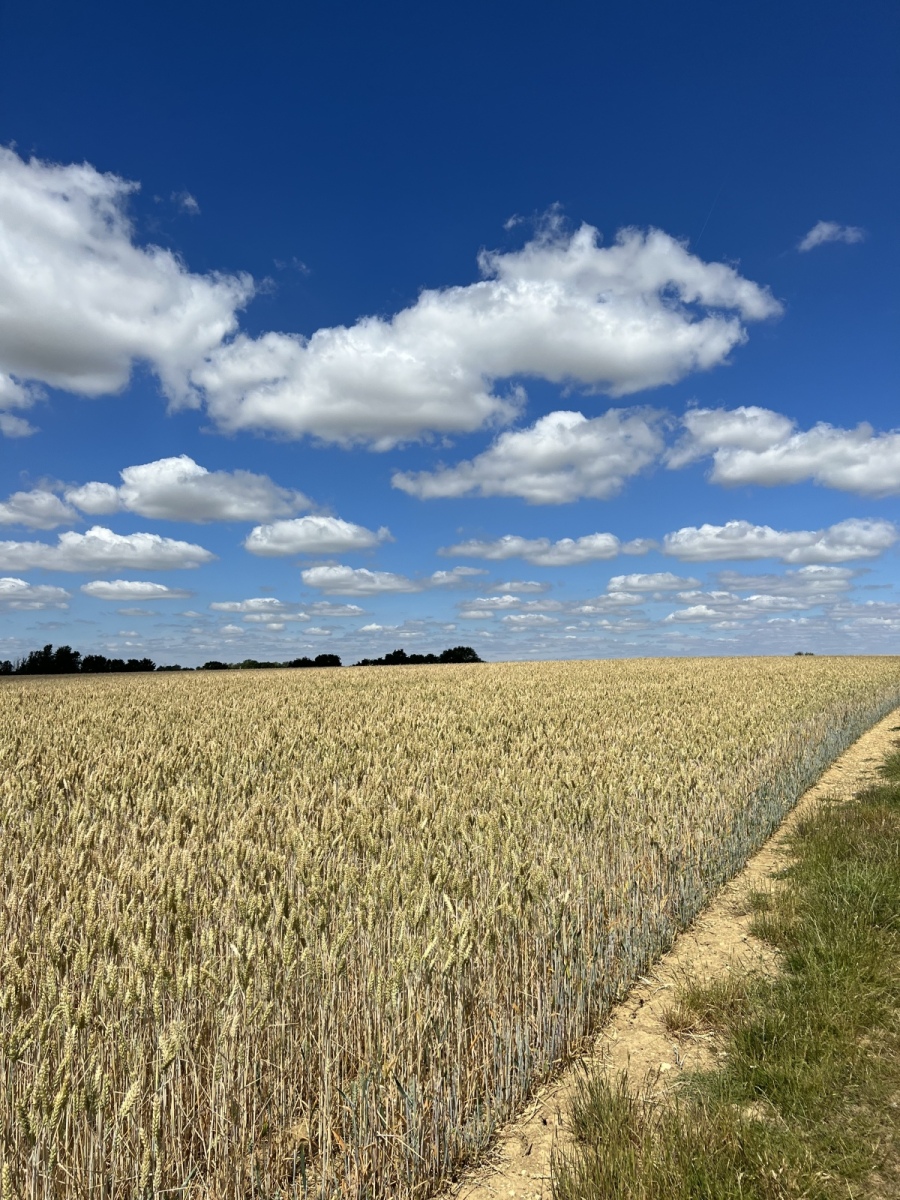
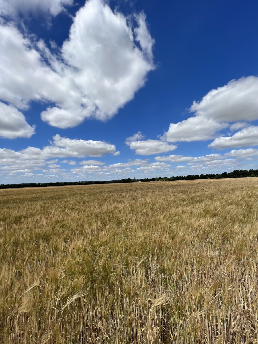
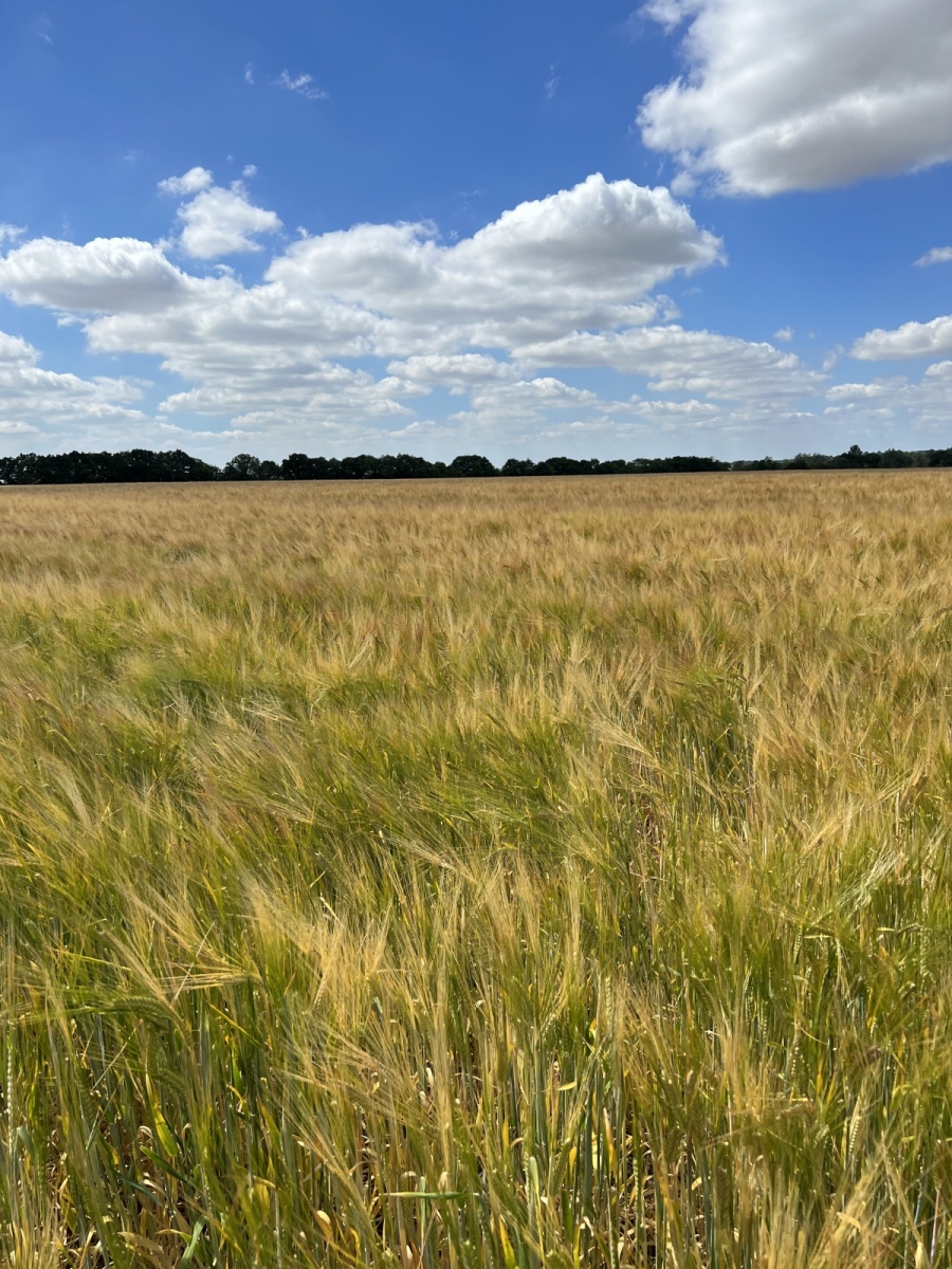
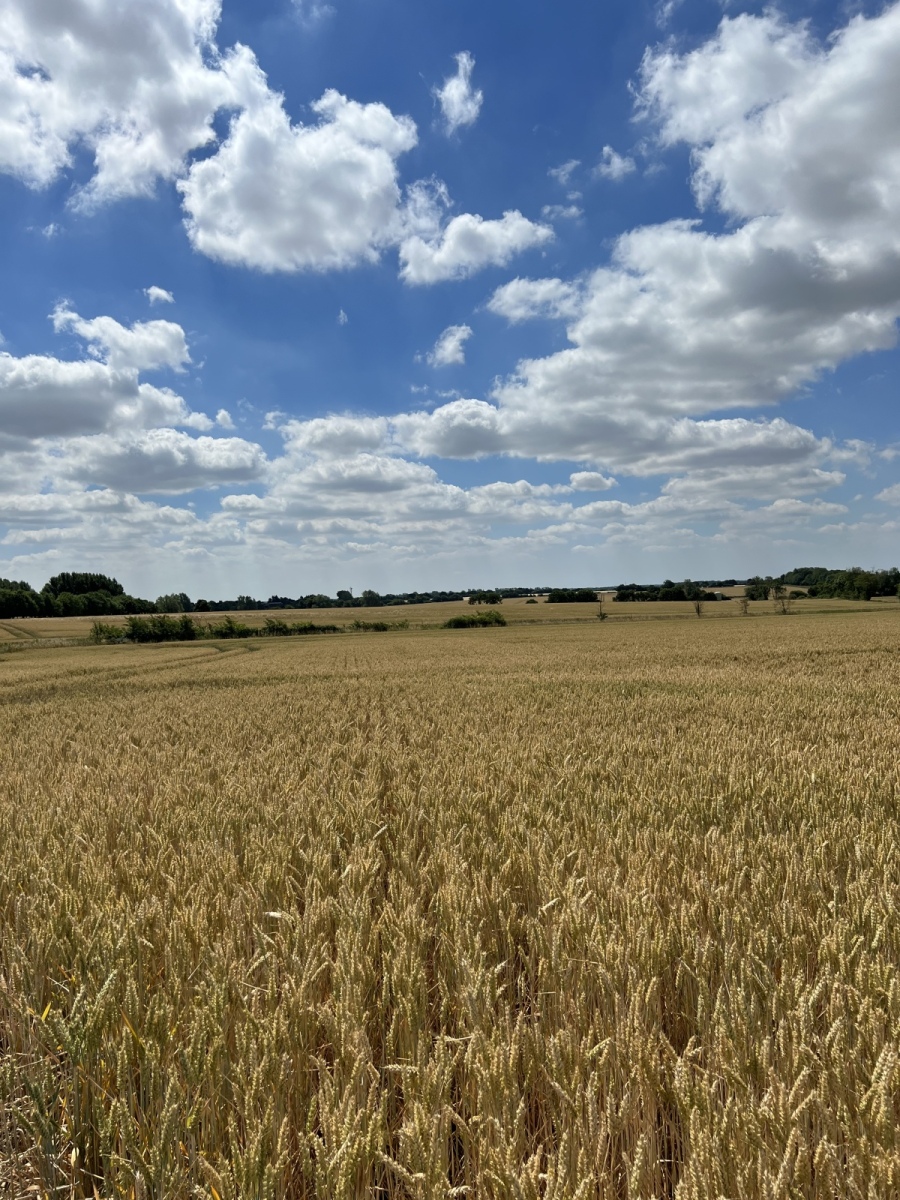
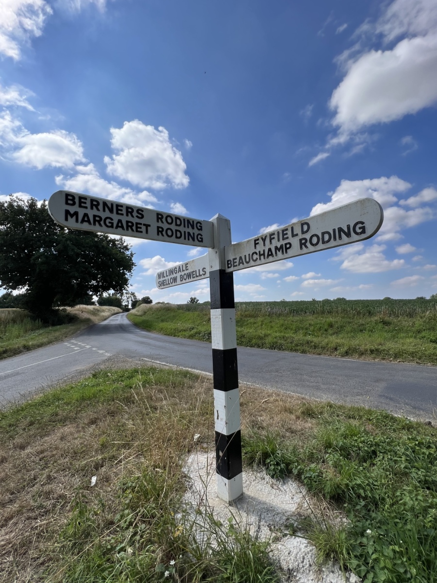
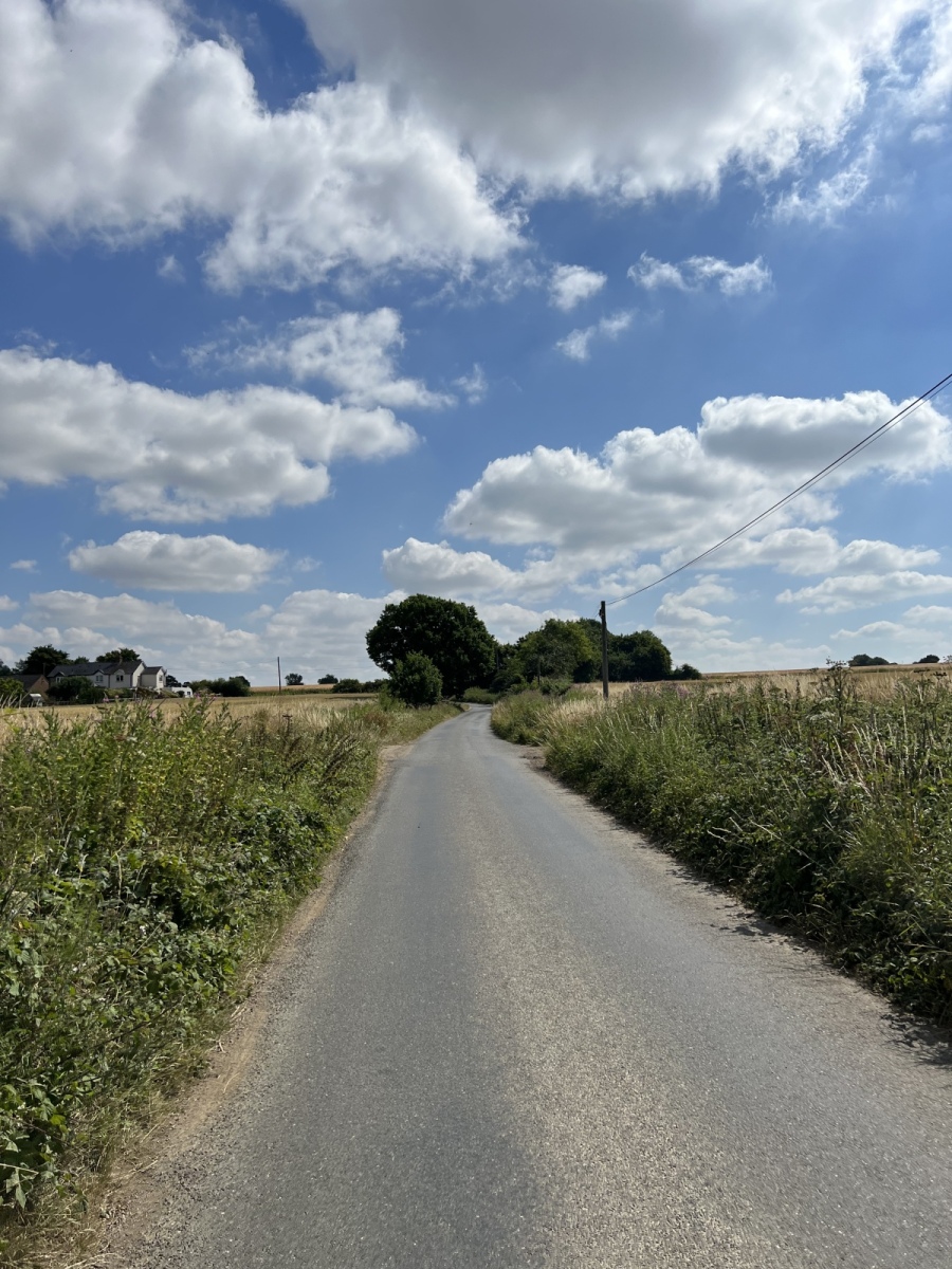
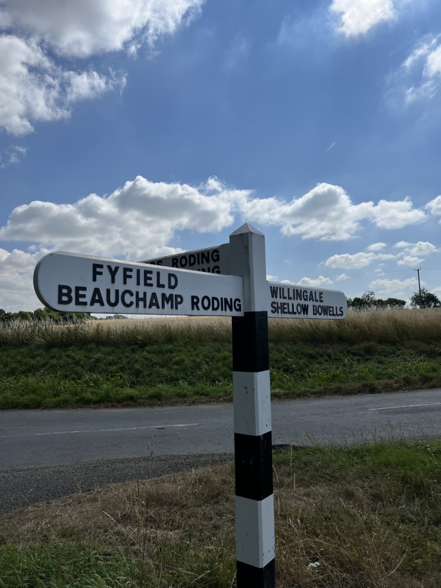
The Rodings, once known as Roothings are a collection of beautiful small villages nestled in the West Essex countryside in close proximity to the upper River Roding with different first names derived from different origins. What they all share in common is the name Roding which is of Saxon origin and in reference to Hroda, tribal leader of the Hrodingas who reportedly sailed up the River Roding and settled here giving name to the river and surrounding settlements. This is said to be the largest group of villages in the country to share a common name. Each of the villages in this corner of West Essex have many wonderful old buildings and fascinating medieval churches, most of which survive in wonderful condition and are still heavily adorned with original craftsmanship. Up here the River Roding for the best part is gentle and meandering through rolling open countryside and farmland which seems a far stretch from the raging floodplains we are more accustomed to further south along the River Roding. The wide horizons and endless skies across the landscape here truly make this a land of unrivalled sunsets and scenery. These villages occupy more than one parish, starting in the Epping Forest District to the south and crossing into and through the Uttlesford District up towards Dunmow. There are many places to visit at all of these locations but in each village I highlight just one as a key feature. Instead of trying to visit all in a day it is also well worth choosing one or two of these villages to explore further as they all have so much to offer. Churches form the main focus as these have served as landmarks for centuries and continue to perform an important role as way markers in vast open areas of countryside, where obvious routes may not be so clearly visible.
(Click to enlarge images)
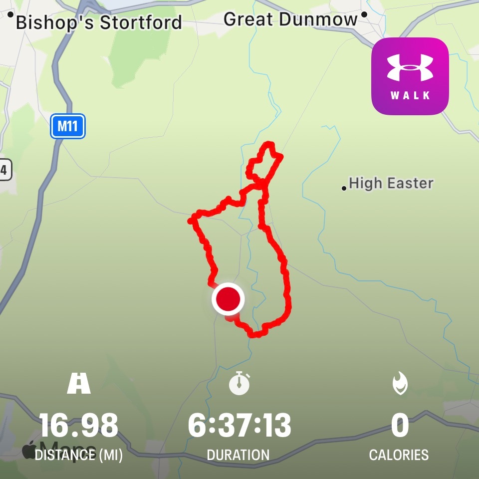
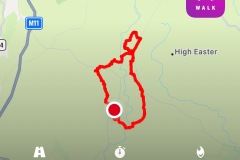
For this walk I make full use of the Essex County Council public right of way map which highlights all of the footpaths and bridleways in the county. Clicking on each path reveals the footpath number and a link to this map can be found in the footnotes. I start and finish this walk at Beauchamp Roding, pronounced ‘Beecham’ Roding. Beginning at the junction of School Lane and Dunmow Road, walking south down Dunmow Road for around 330 yards I then turn left onto a track into the fields to pick up public footpath number 56 (Abbess Beauchamp & Berners Roding) heading south, staying on this track the path merges with public footpath number 19 (Abbess Beauchamp & Berners Roding) which goes through the churchyard of St Botolphs church. At first glance this is perhaps an unlikely location to find such a building away from the village, but there are some interesting local theories about how the church came to be here.
Beauchamp Roding
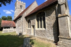
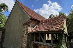
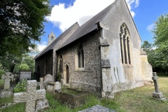
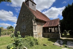
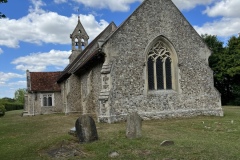
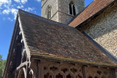
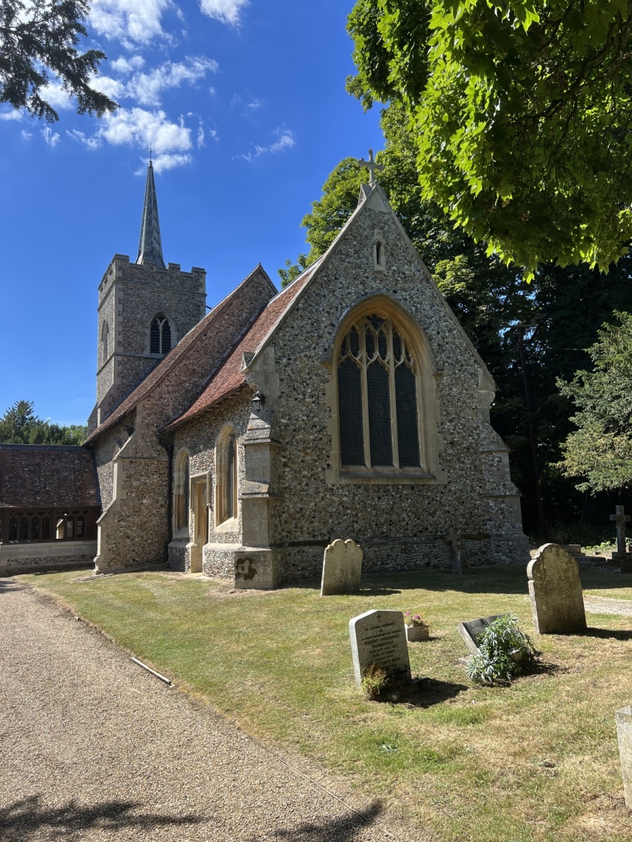
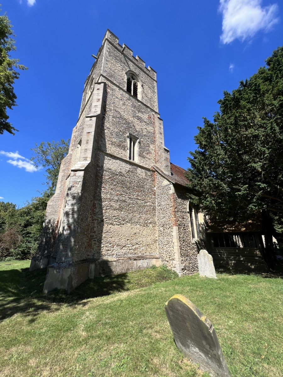
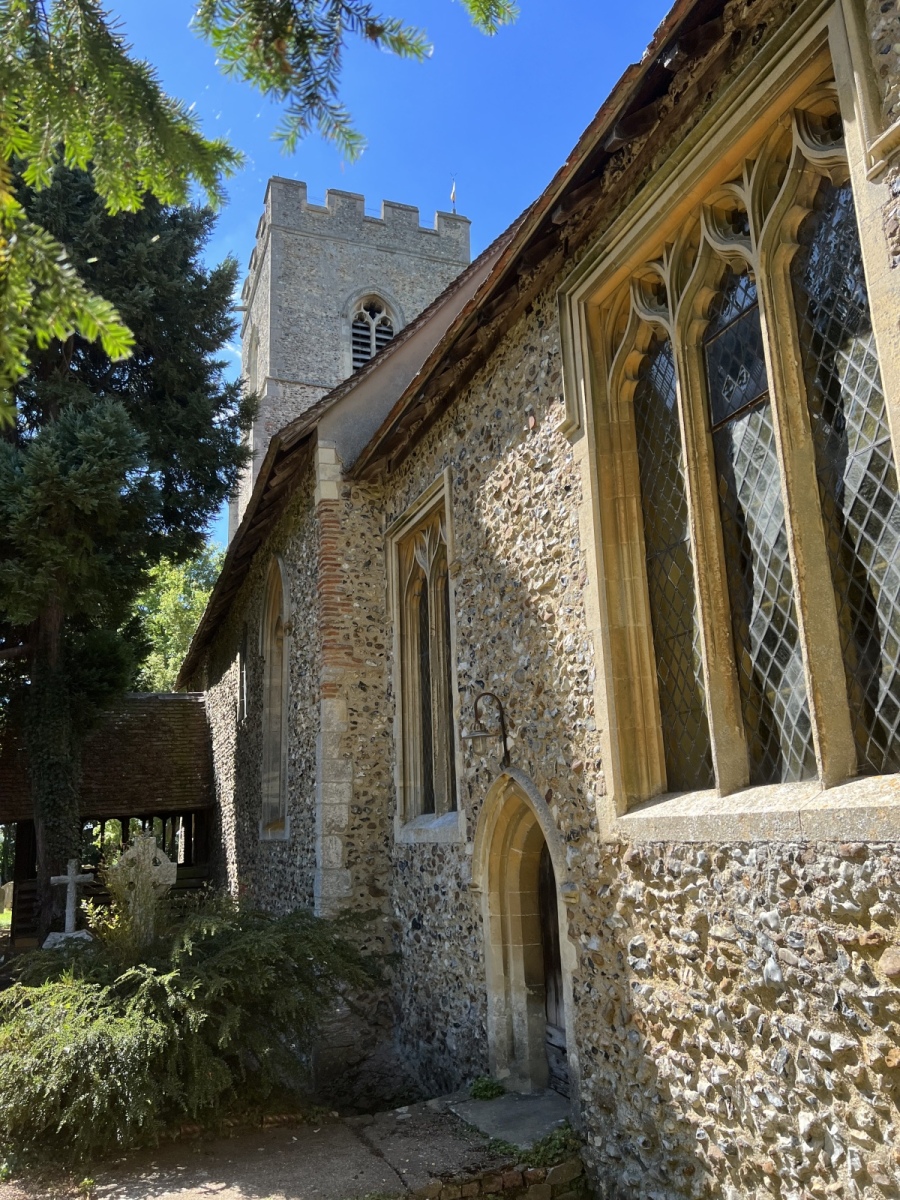
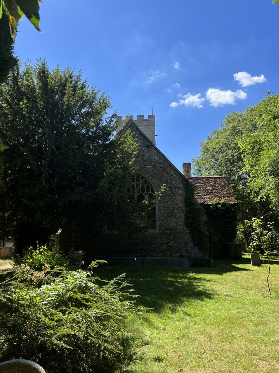
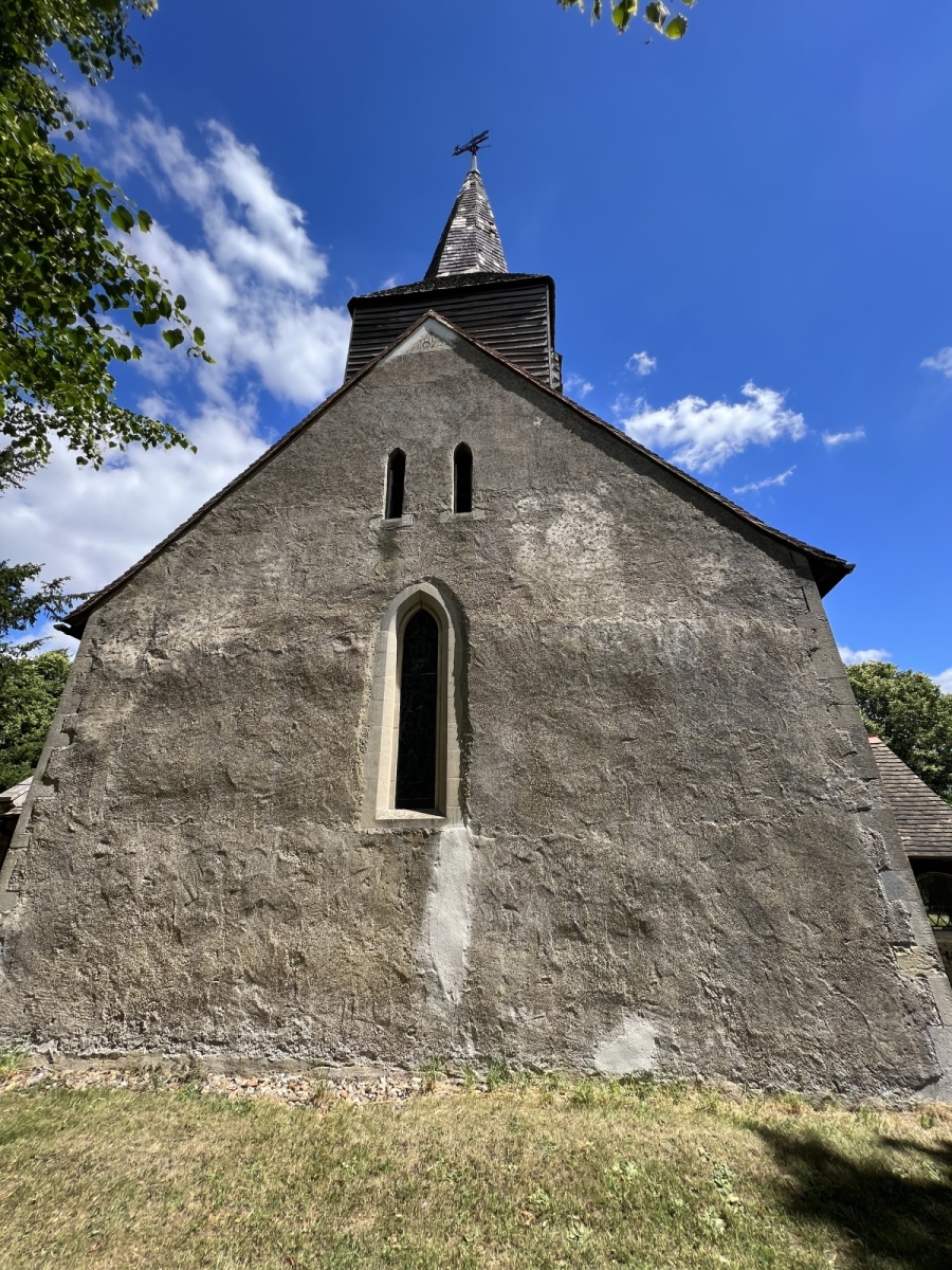
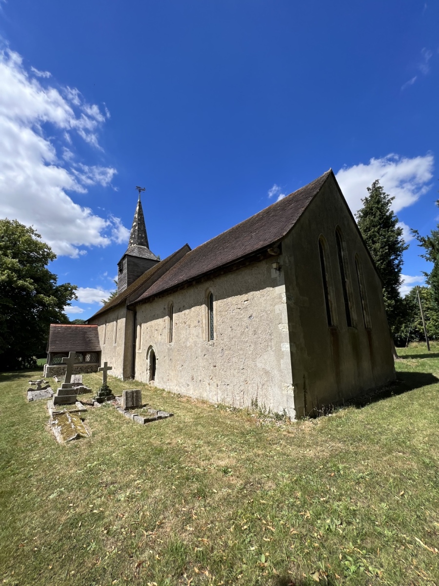
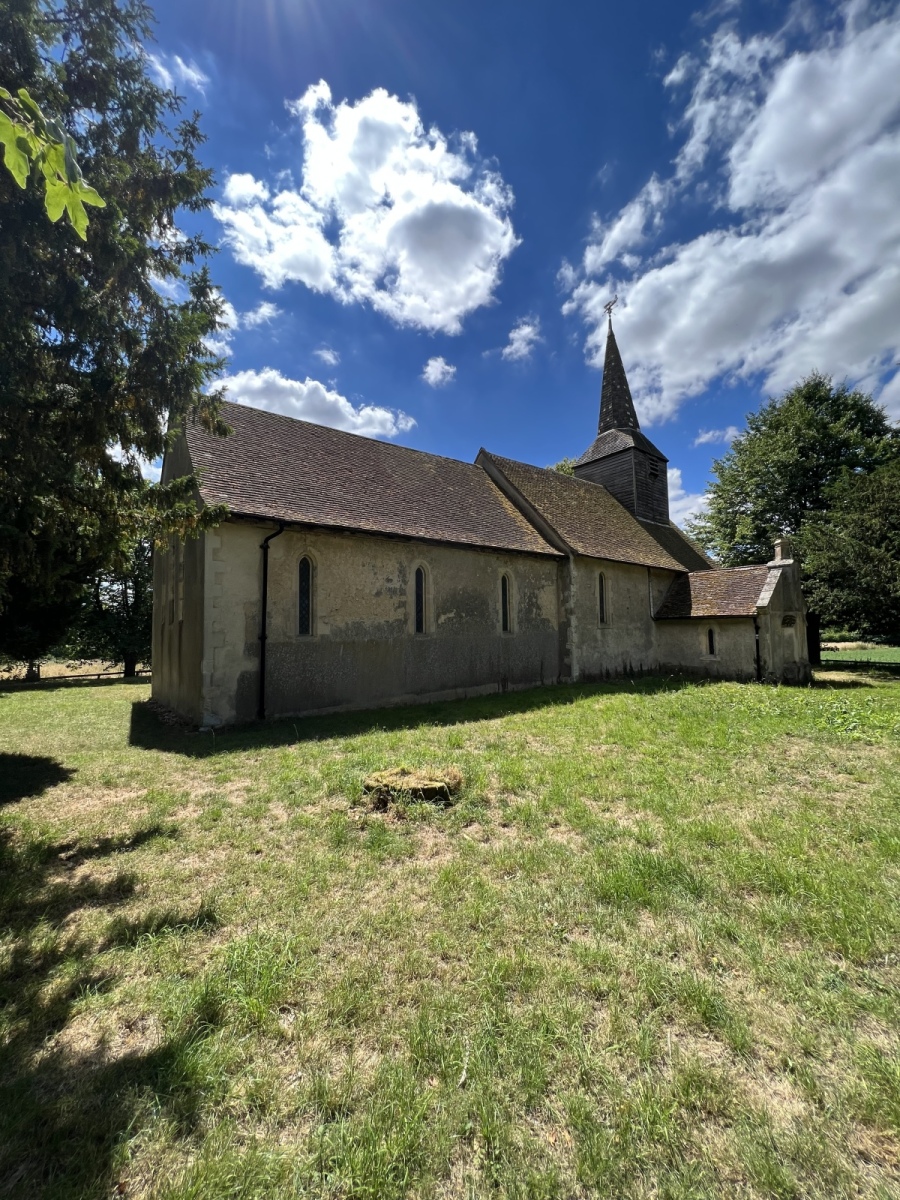
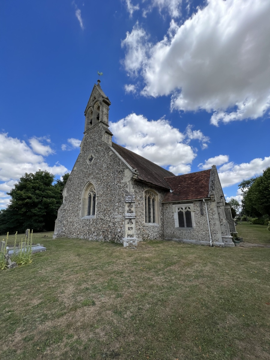
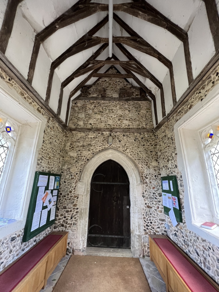
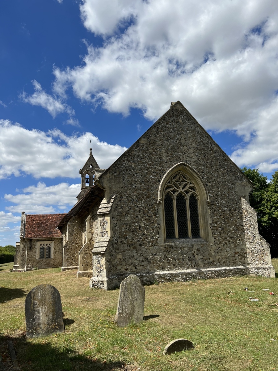
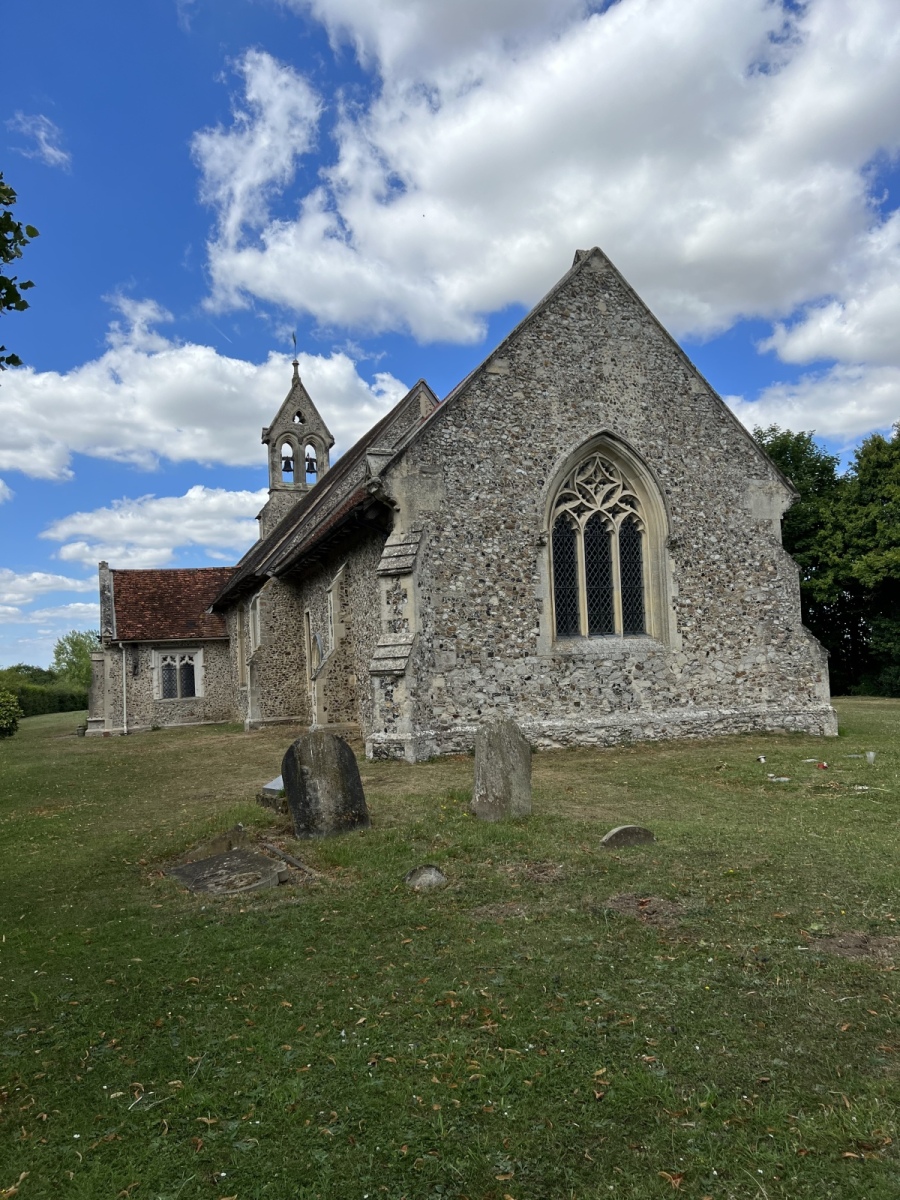
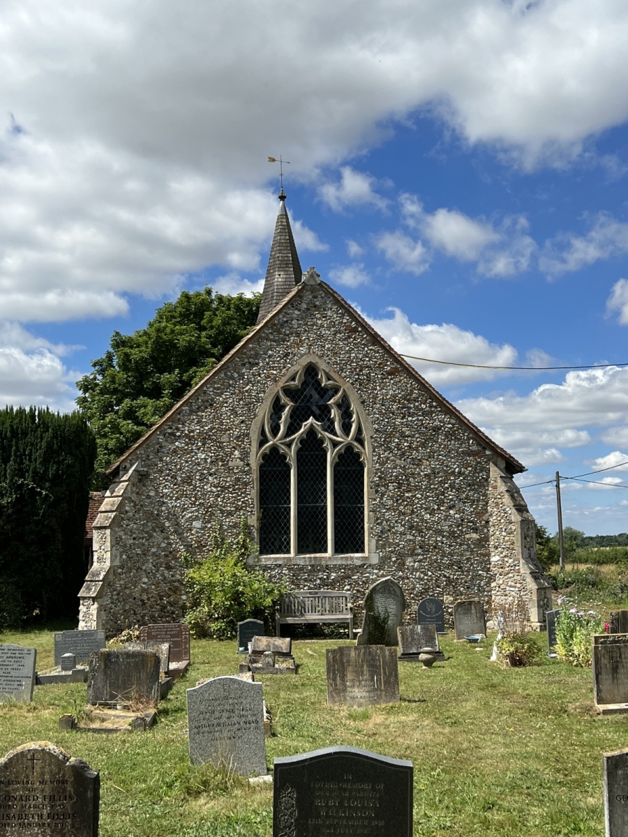
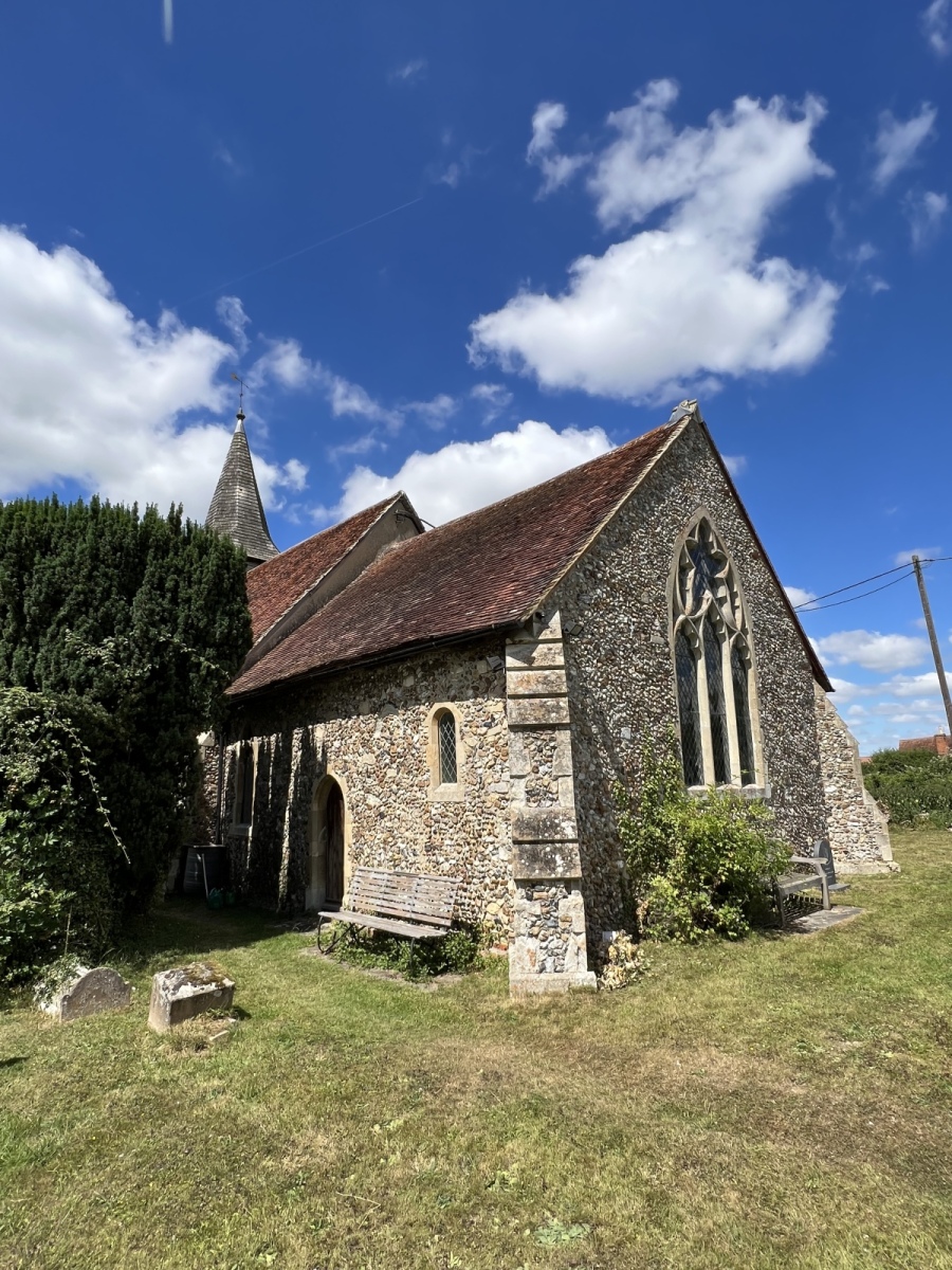
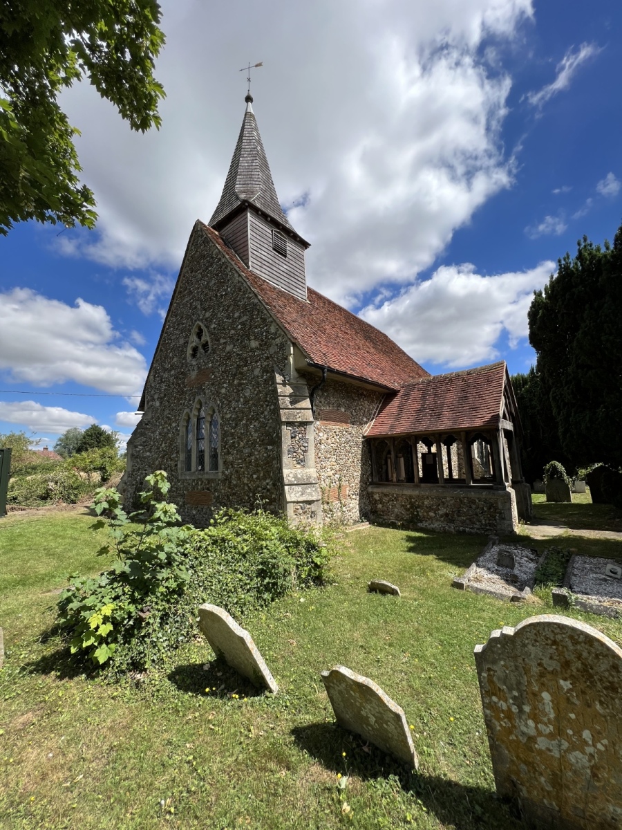
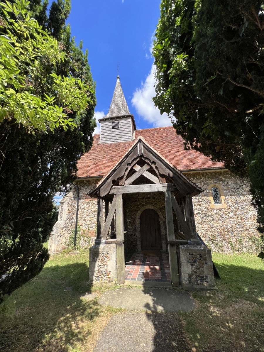
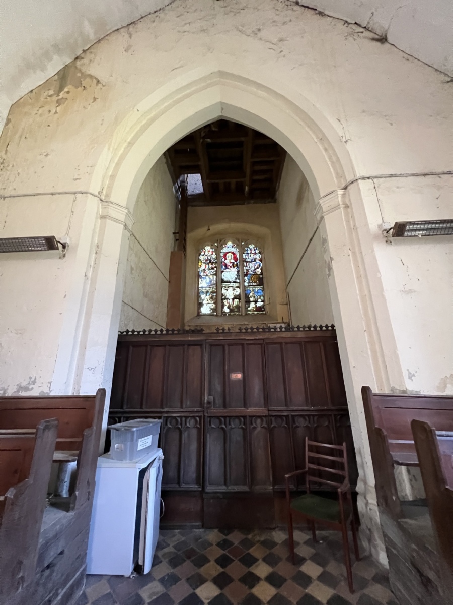
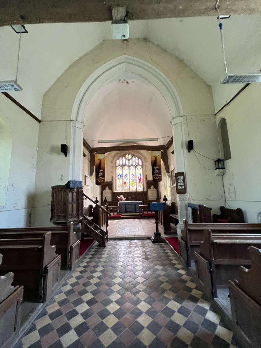
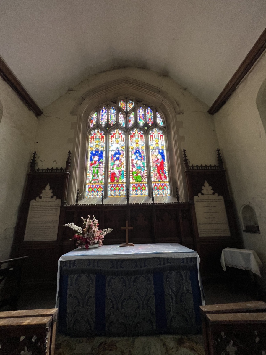
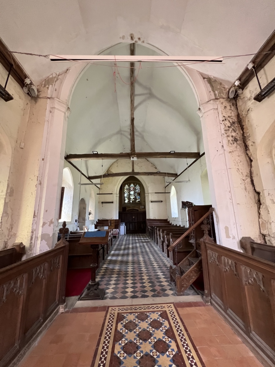
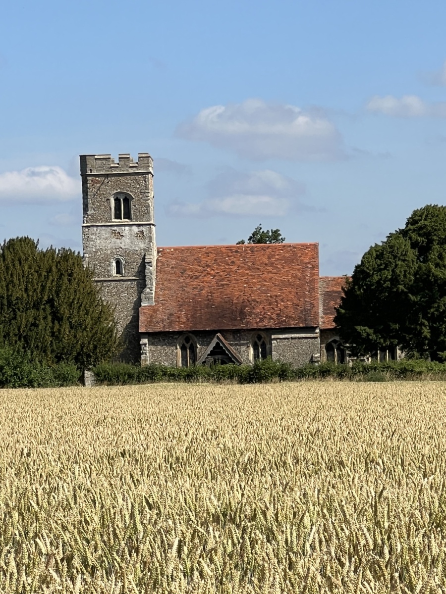
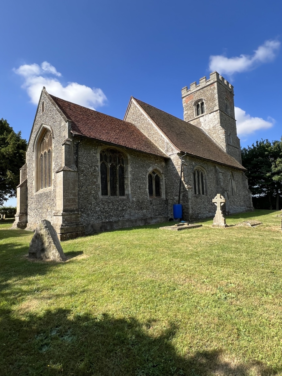
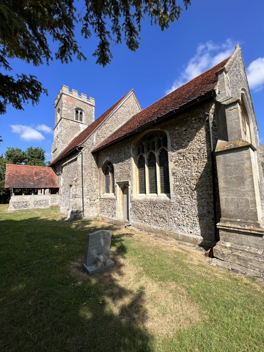
Perhaps best known for its medieval church St Botolph’s which unusually stands in fields away from the village, there are some fascinating local fables about how this building was believed to have found its current site. Some folklore says that the church was intended to be built in the middle of Beauchamp Roding village and the stones used to build the church kept being repeatedly moved over night by the devil into an isolated field every time villagers tried to construct the foundations of the church with them. Eventually they gave up and built St Botolph’s in the field where it stands today in isolation from the village with limited access. A large triangular stone stands up ended in the north east of the churchyard which was once thought to be pudding stone, but is now believed to be sarsen with a few embedded gravel deposits. This curious stone is rumoured to mark the site of a Pagan place of worship and is visible in the attached pictures if you look closely. An interesting feature inside this church are its raised pews which have boards beneath which pull out as steps to climb up into the seats for an elevated view over the congregation. Leaving St Botolphs I continue along public footpath number 19 (Abbess Beauchamp & Berners Roding) for a short distance before turning left just the other side of the first hedgerow onto public footpath number 70 (Abbess Beauchamp & Berners Roding) which I follow around the field edge for around 450 yards. I eventually exit onto School Lane where I turn right following the lane just under a mile before turning left after crossing the River Roding passing some houses on my left then picking up public footpath number 29 (Abbess Beauchamp & Berners Roding) on my right just after Elms Farm. I follow this path north east through the fields for just under a mile before exiting onto a lane opposite Berners Hall. Here I cross straight over the lane onto public footpath number 33 (Abbess Beauchamp & Berners Roding), which takes me into the churchyard of All Saints church at the rear of the farm buildings.
Berners Roding
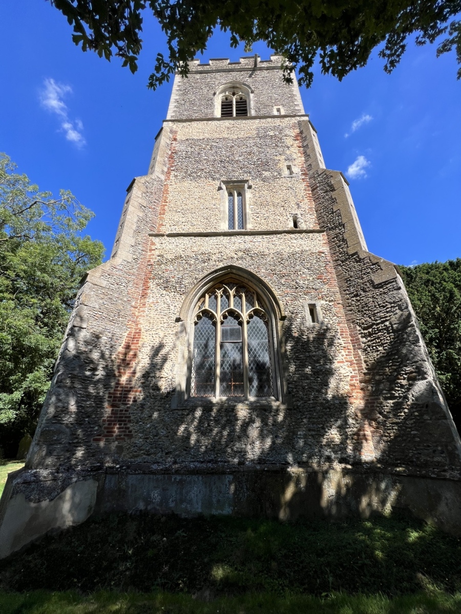
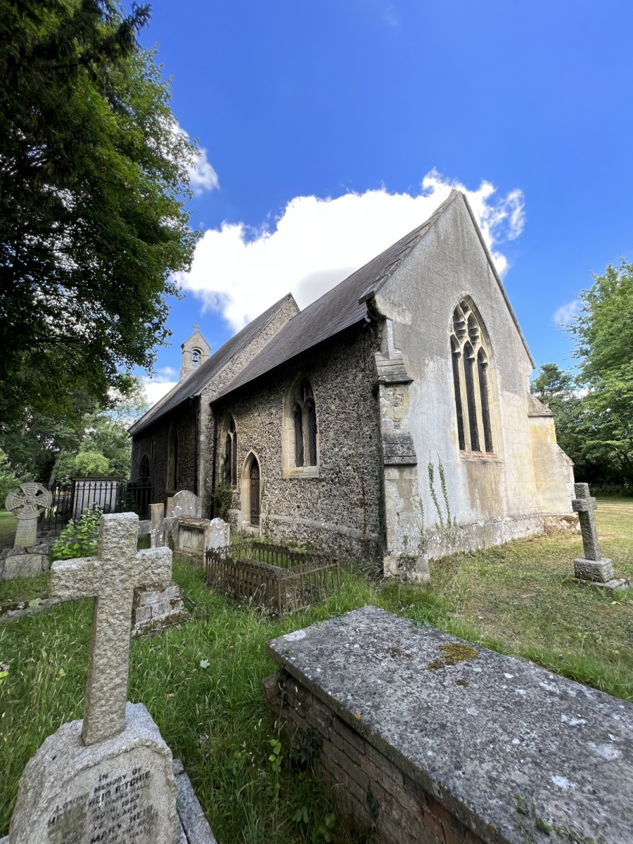
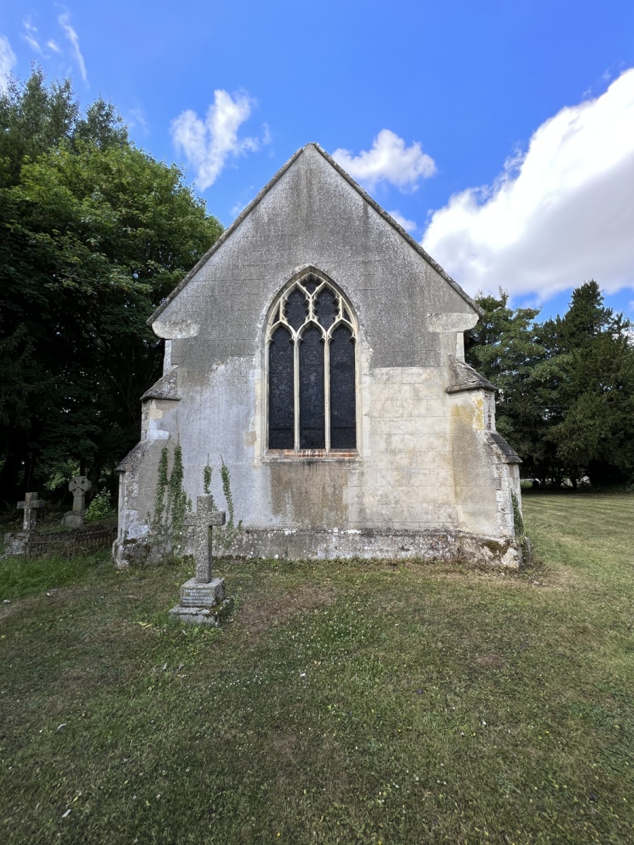
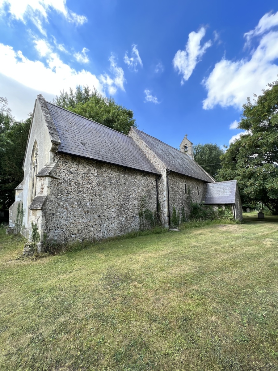
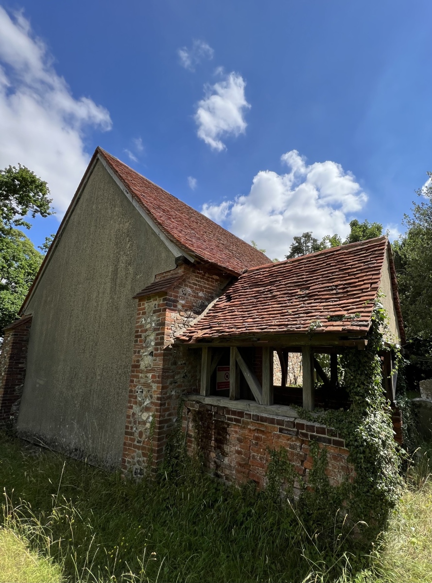
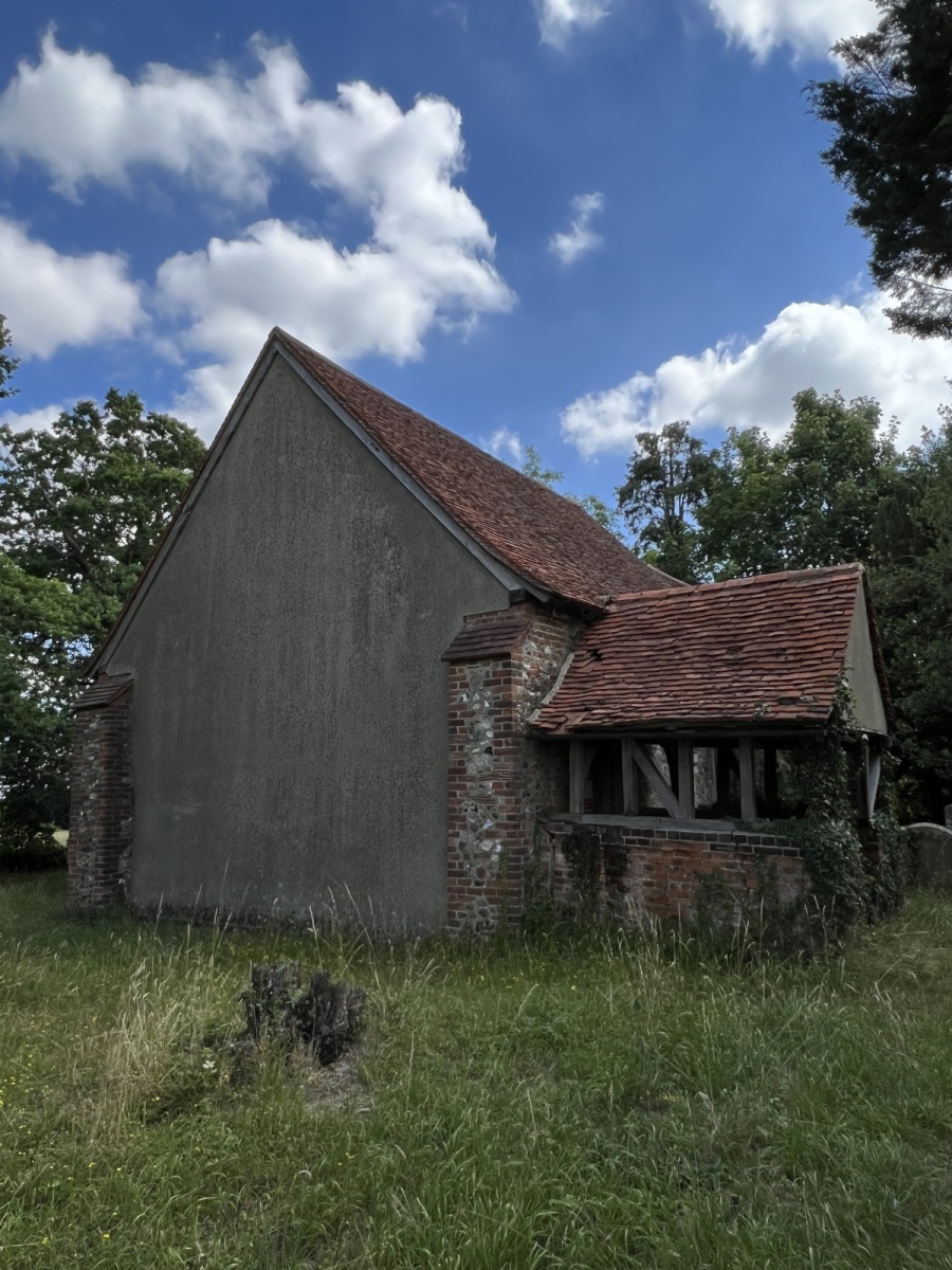
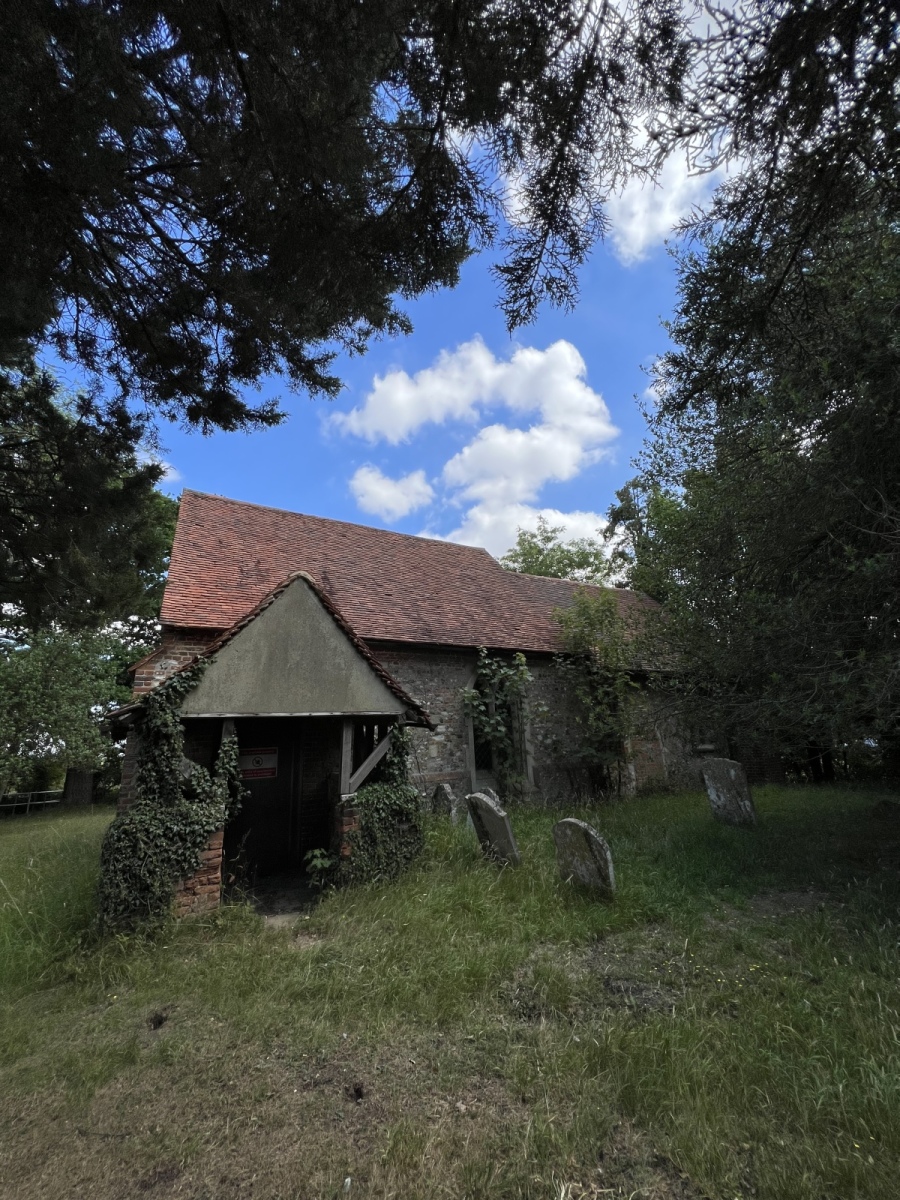
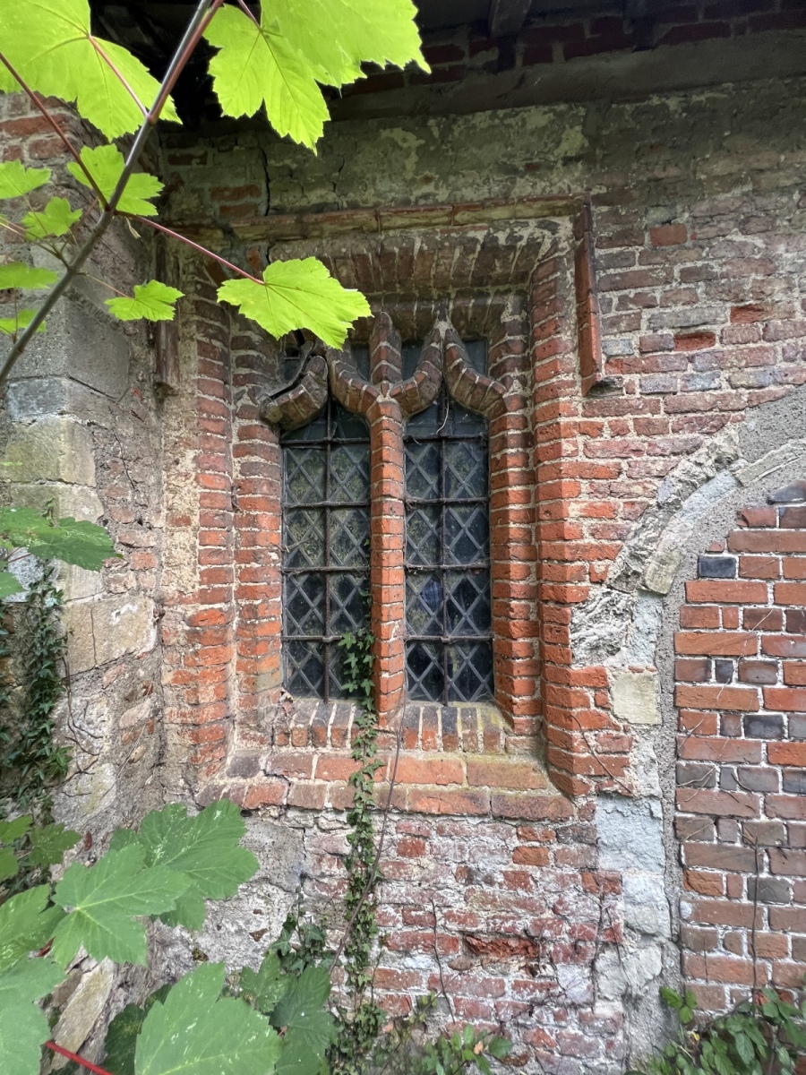
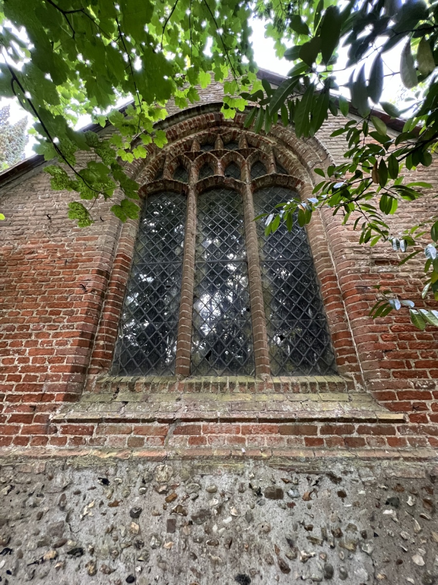
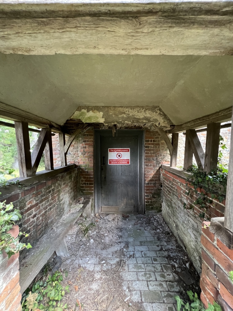
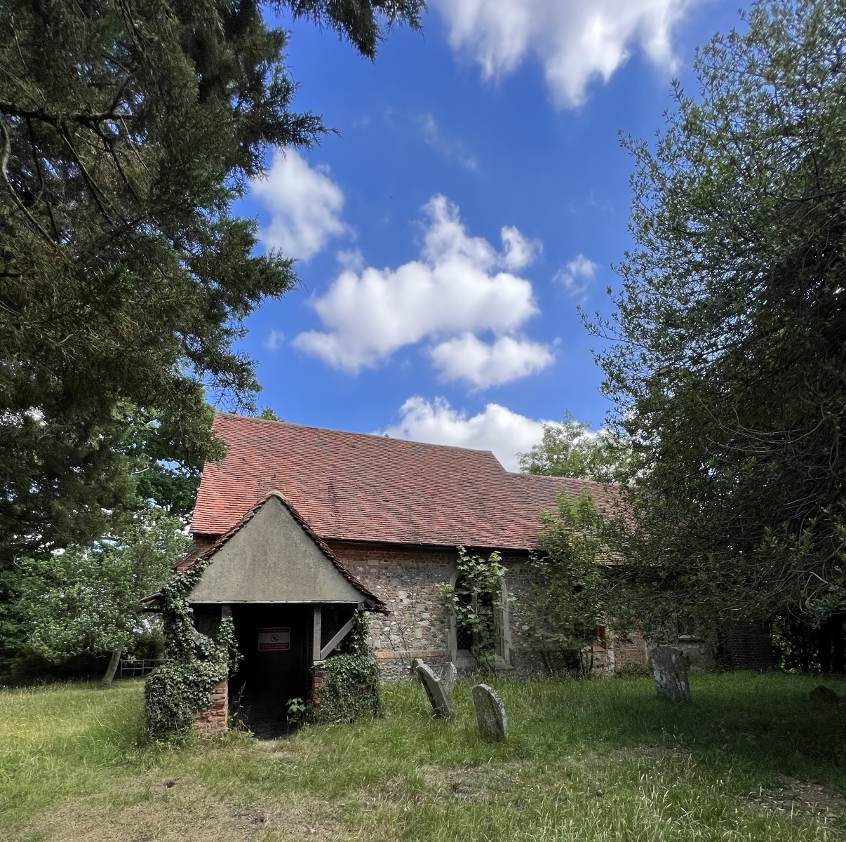
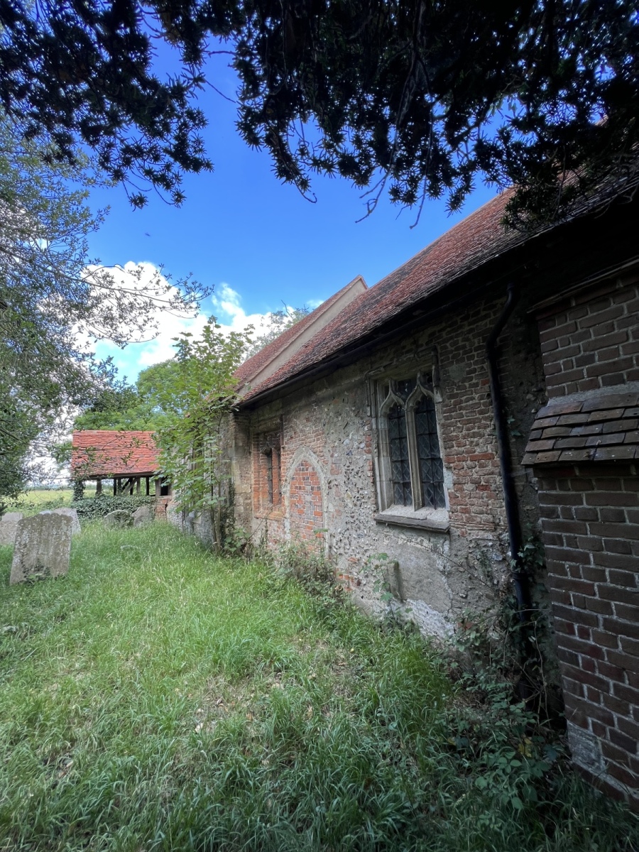
The mysterious abandoned church of All Saints at Berners Roding is a very well hidden and most intriguing place, reached via a public footpath. In fact it was a chance discovery of this building online which resulted in exploring the area in more detail. This church is believed to date from the 14th century and to have been built on the site of a much older medieval place of worship. Records show this church was deconsecrated around 1985. The building itself is now privately owned but has fallen into an awful state of decay and neglect. Some very large cracks have opened up in the walls and evidence of Victorian buttress work suggest that perhaps subsidence was a long standing problem here. The churchyard itself is managed by Epping Forest Countrycare who look after a number of nature reserves in the district. Only one or two graves still appear to be tended regularly but the rest of the churchyard is in a sorry state and appears to have been taken over by a very active Badger community which sadly have caused disturbance to some of the historic graves. The site is surrounded by a large moat on one side which is very substantial and seems to have been built to protect the church. Very little information can be found about why this church was suddenly left in its current state. A video in the footnotes provides an interesting insight of what lies inside this sad, forlorn and decaying building now left to suffer the effects of the cruel elements alone. The only sign of life on my visit was a huge swarm of bees heaving out of a large crack in the west wall. Exiting the churchyard crossing a footbridge over the moat I bear left to continue north through the fields along public footpath number 35 (Abbess Beauchamp & Berners Roding) for around three quarters of a mile to Ongar Road. Here you could do far worse than take a short diversion to visit Charles and Mike Distilling at Marks Hall Farm, just off Marks Hall Lane to sample some pretty exceptional Gin or perhaps even their new and rather aptly named Hroda spiced rum. I however cross Ongar Road following public footpath number 8 (Margaret Roding) north for just under half a mile and eventually exit onto Chelmsford Road, where I turn left following the bend in the road then cross over into the grounds of St Mary’s church at Margaret Roding.
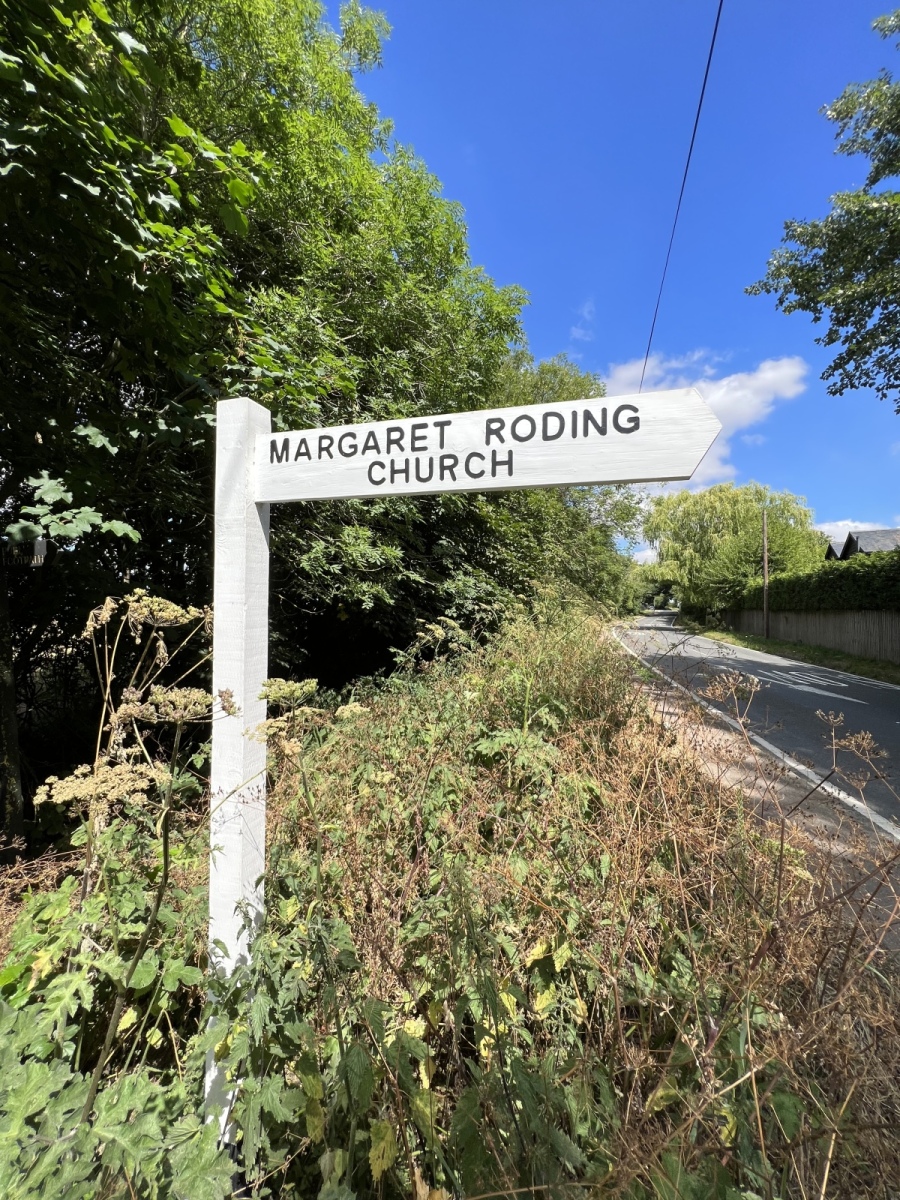
Margaret Roding
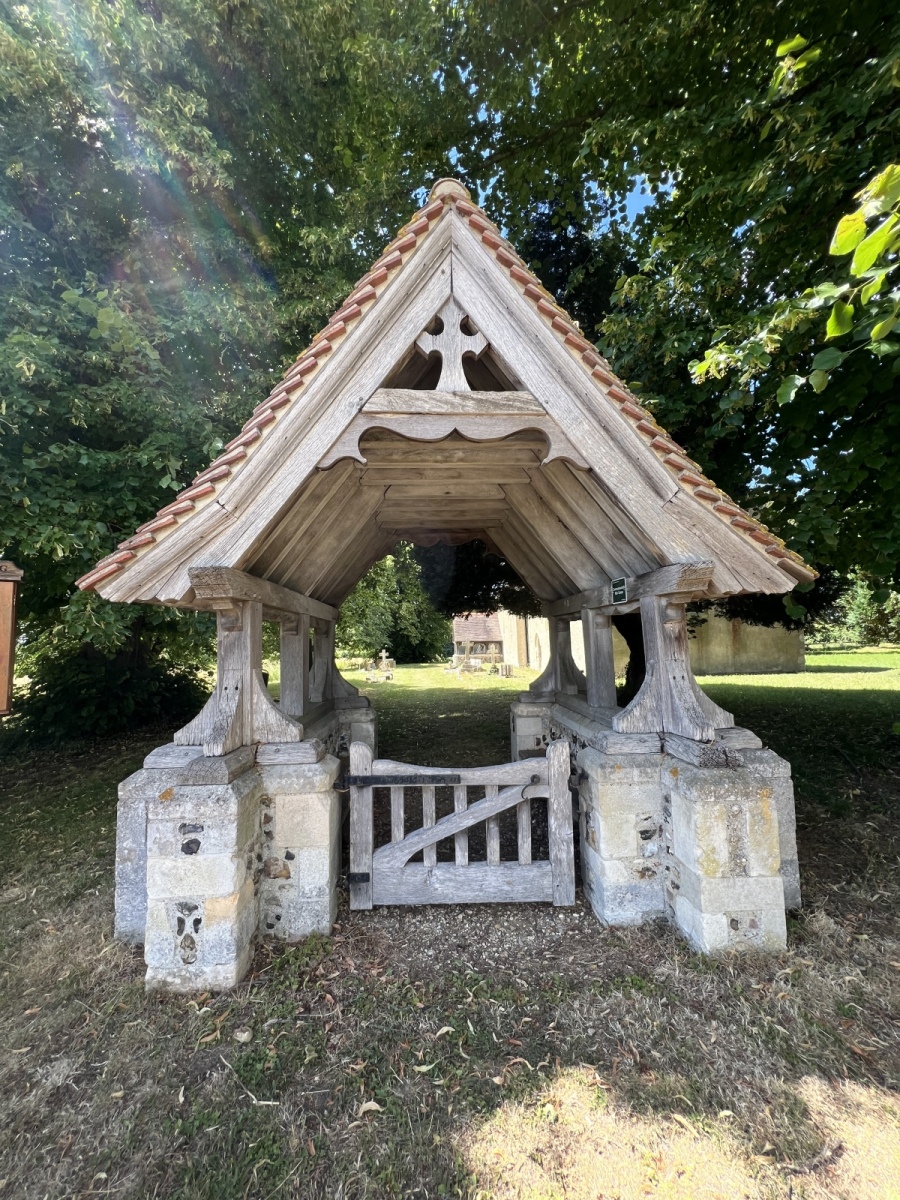
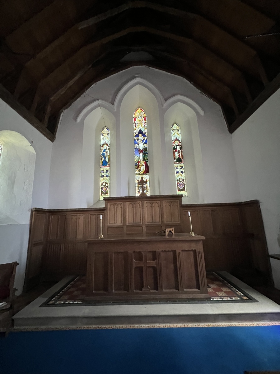
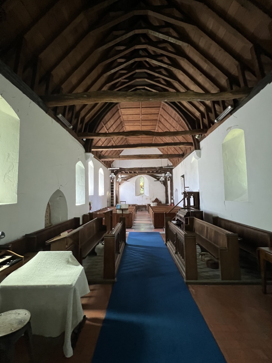
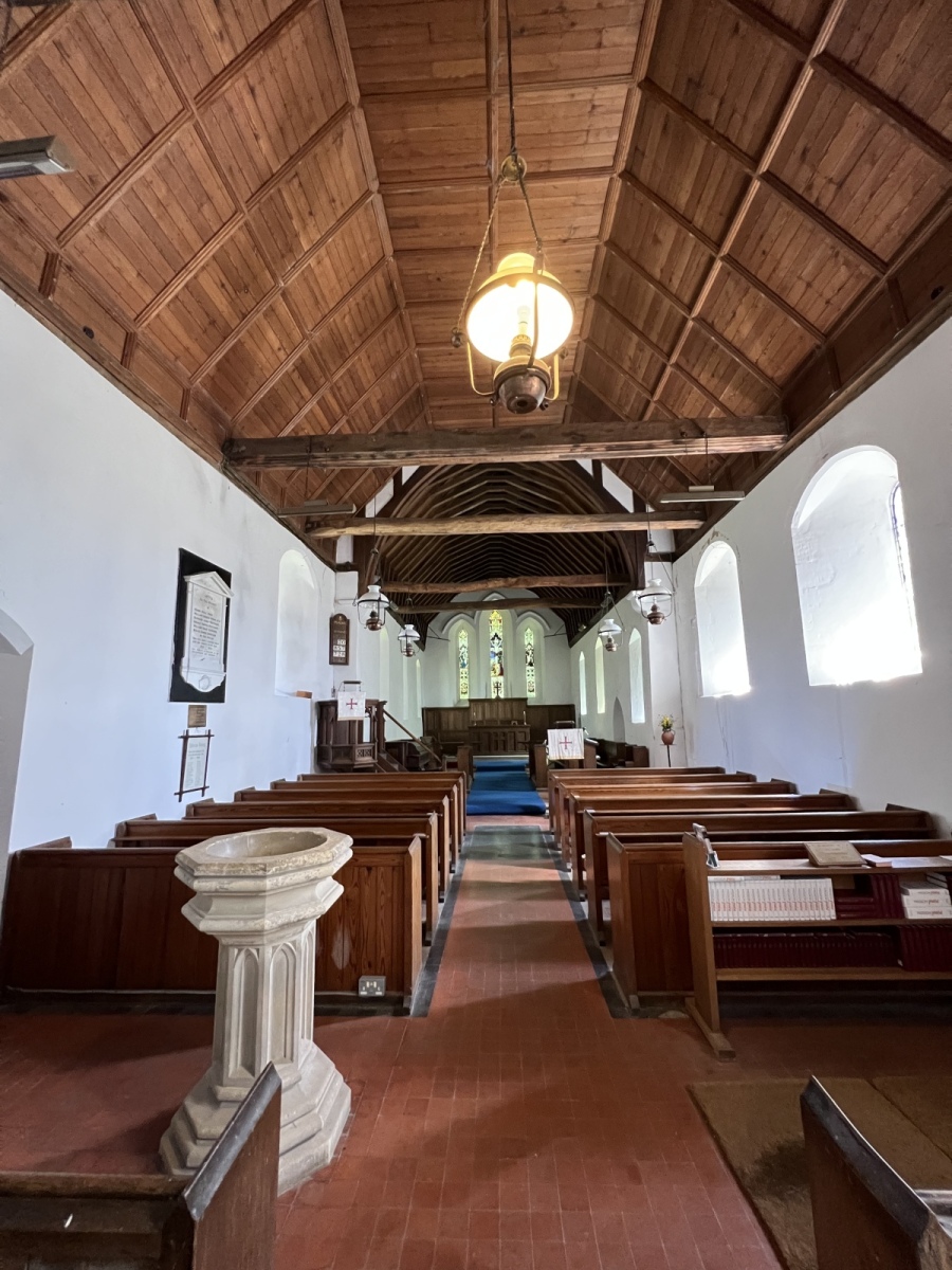
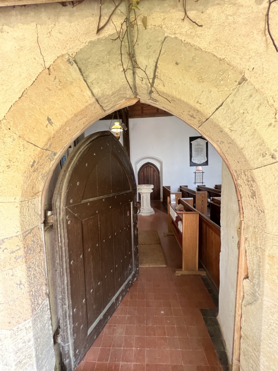
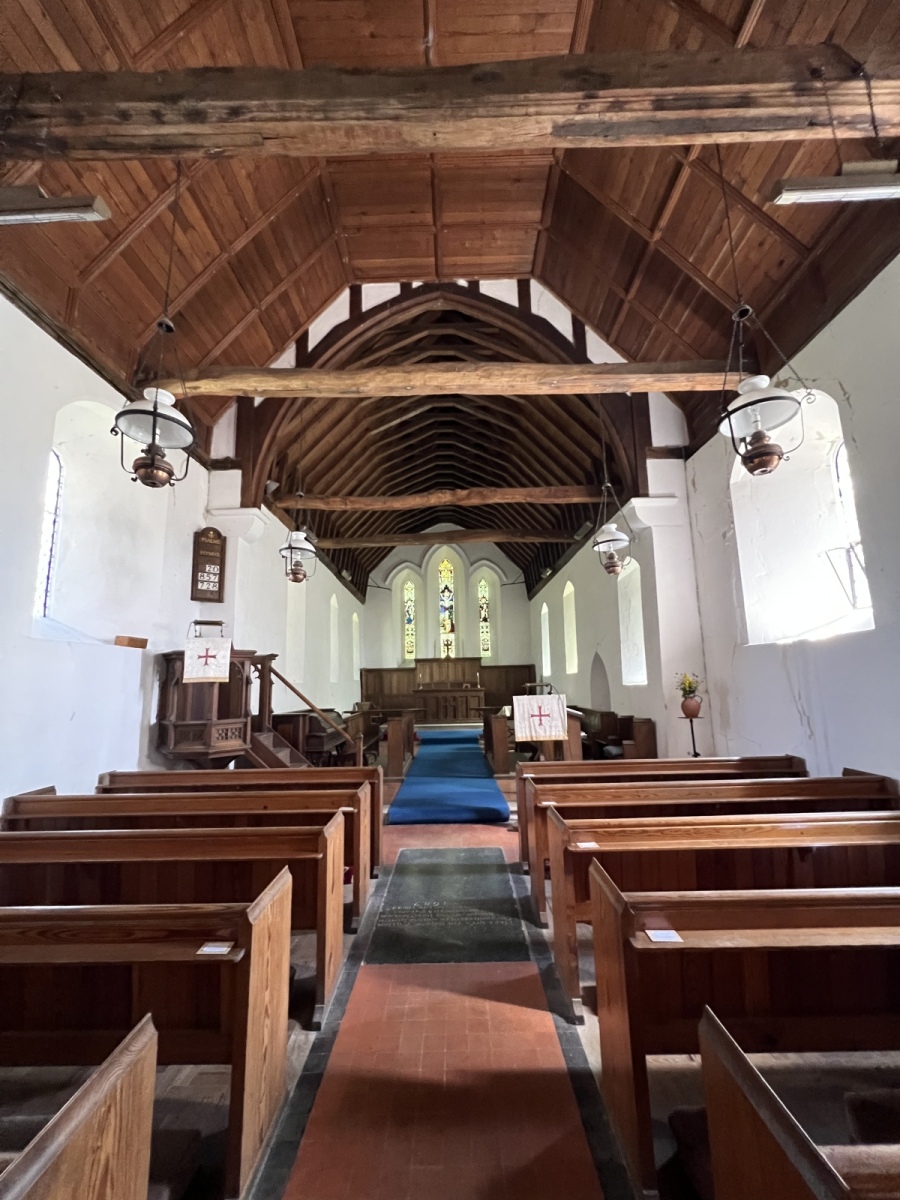
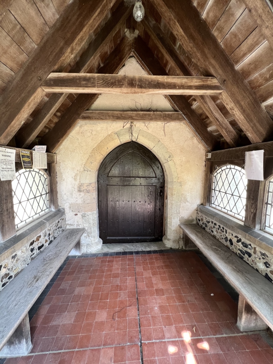
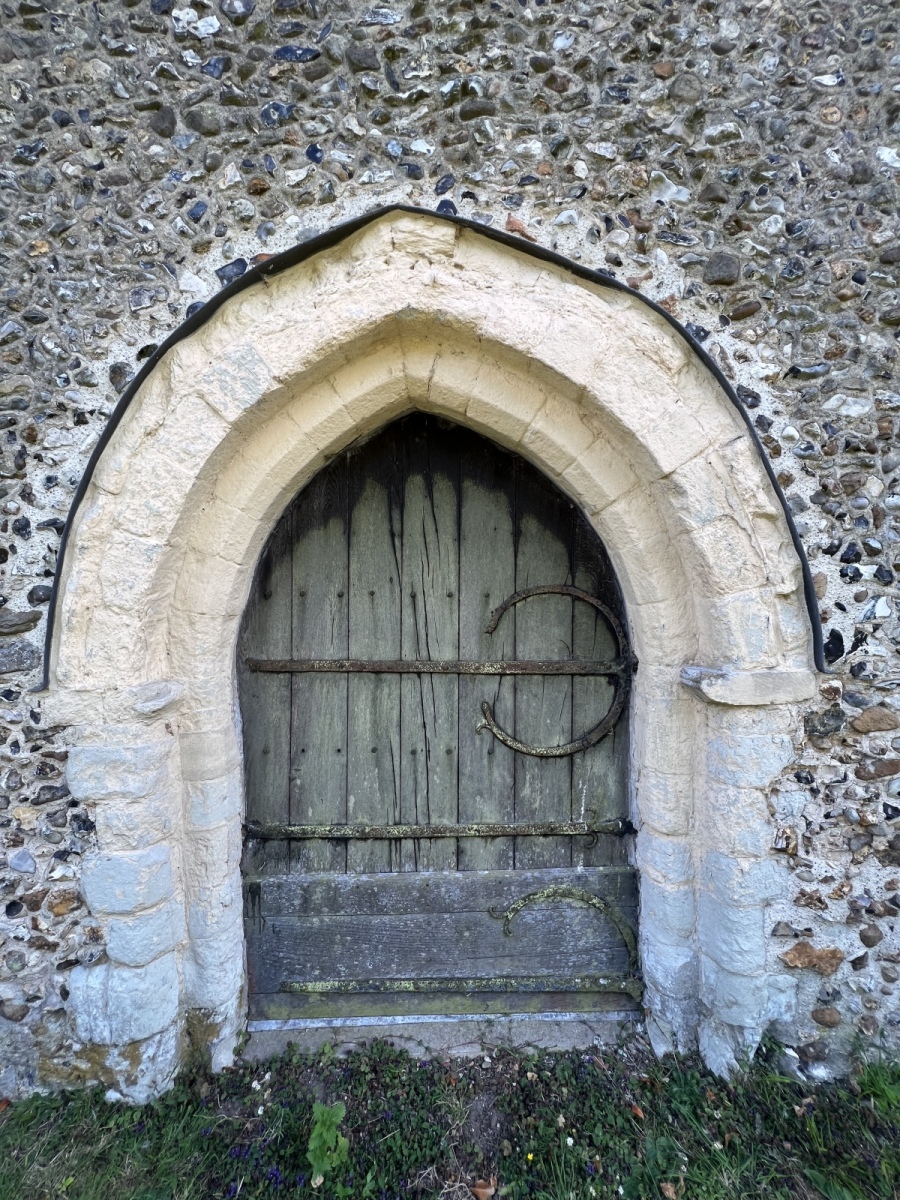
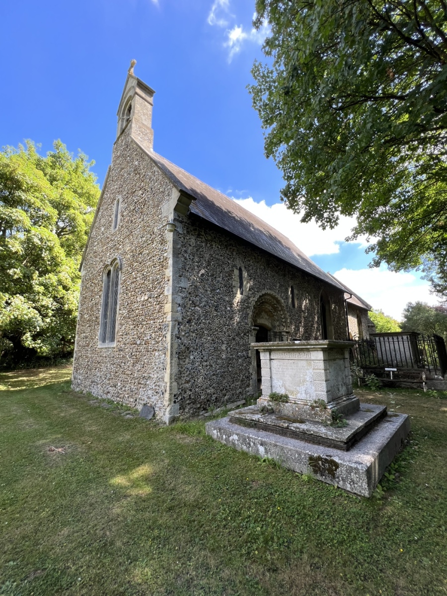
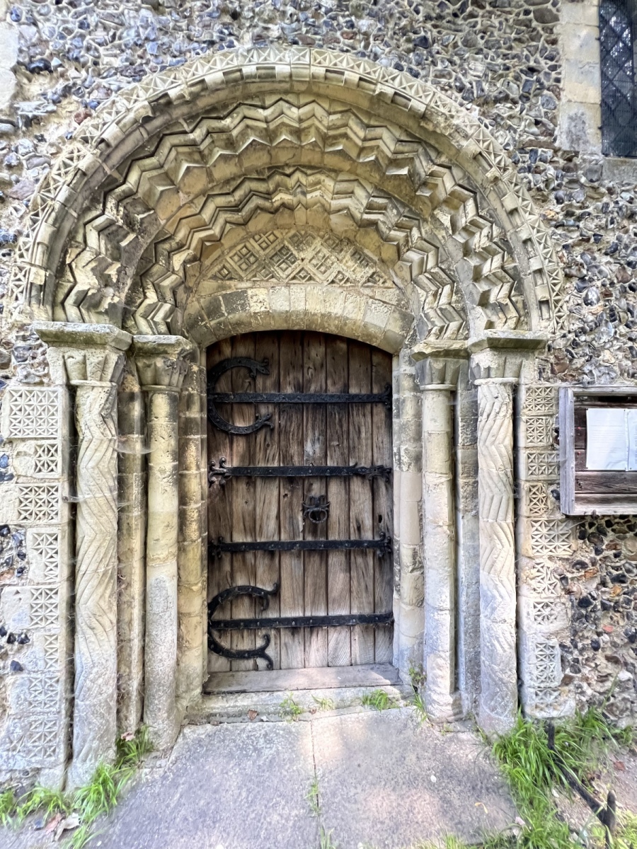
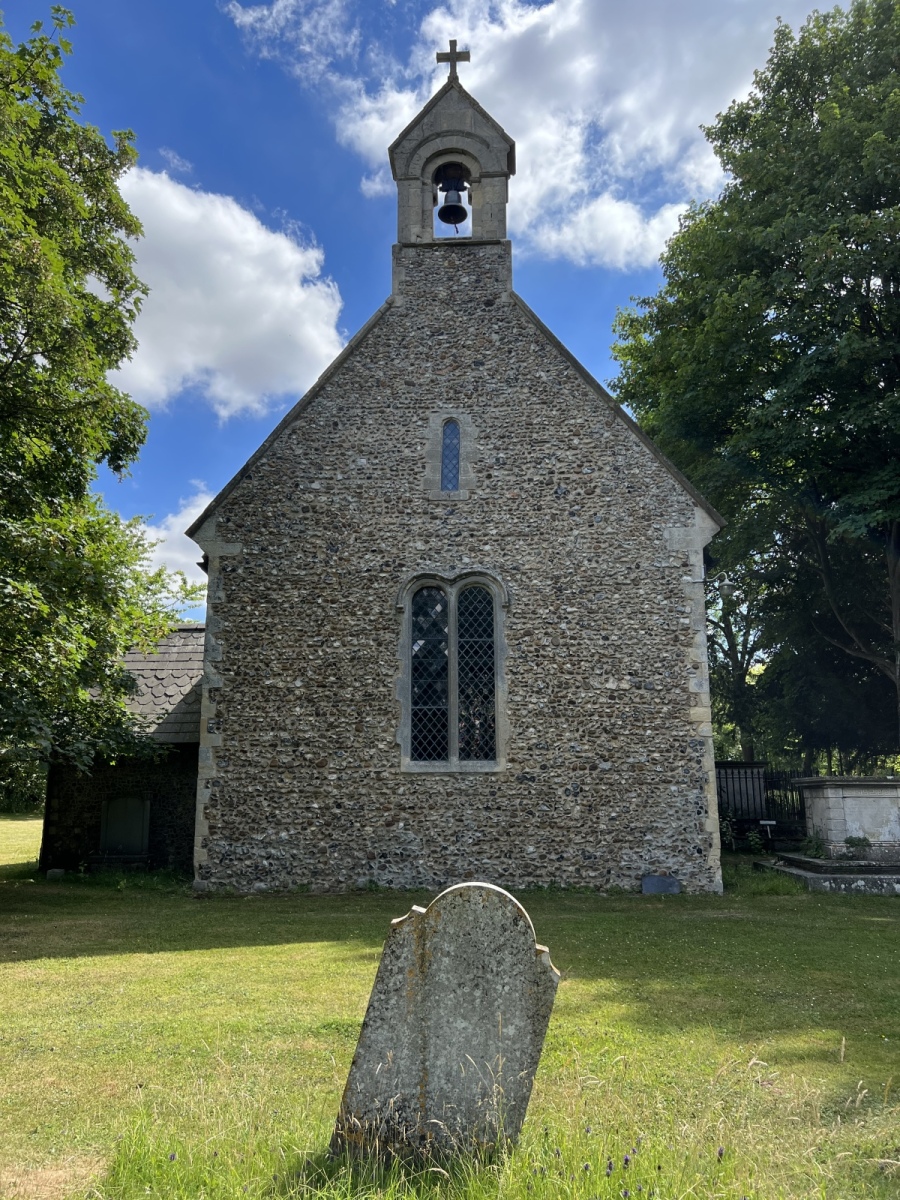
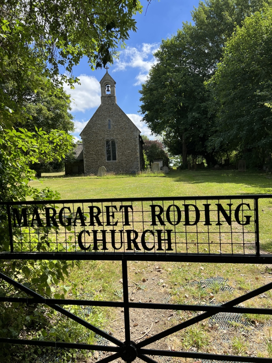
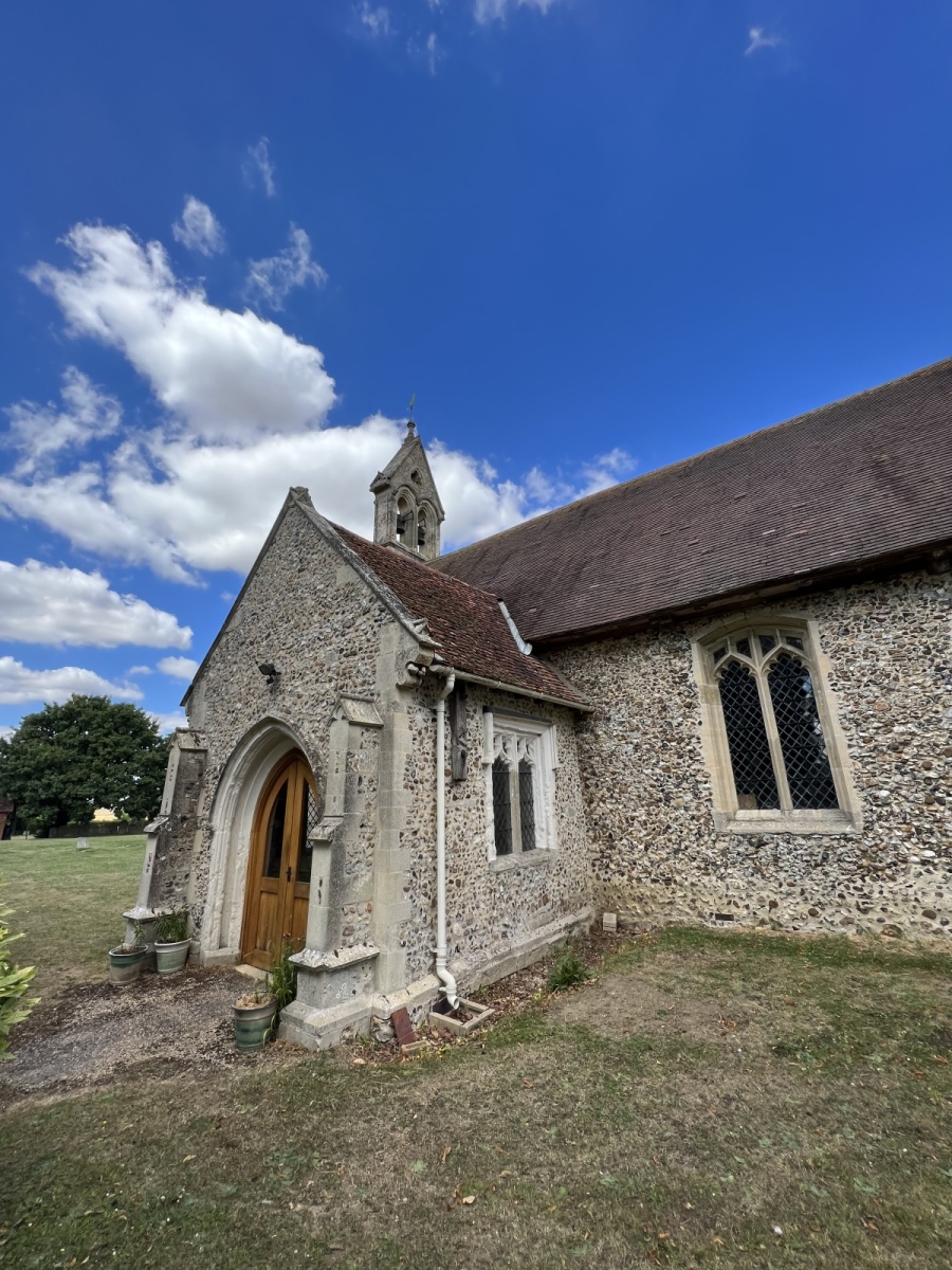
St Mary’s church at Margaret Roding is one of the smallest in the area. The name of the church is moulded into the ironwork of the entrance gate. This wonderful Grade 1 listed building has many original features including the beautifully intricate and ornate 12th century metal hinges on what is one of the finest surviving examples of a Norman doorway. In the centre of the door is a ‘sanctuary ring’ as a knocker. It was said a fugitive only had to touch this ring to receive sanctuary from the law and would then be granted the right of freedom from persecution for a limited time. There is no tower at this small church but it does have a bellcote instead. Inside the church there is little natural daylight owing to the very small and narrow windows but it is none the less a beautiful building which has been a place of worship for over 900 years. The pretty churchyard itself is quite secluded and has many historic tombs and memorials dotted around. This makes a very peaceful stop in a tour of the area and is in a slightly isolated spot with just a few dwellings nearby. Leaving this fascinating building I go back out onto Chelmsford Road and turn right before picking up public footpath number 4 (Margaret Roding) on my left beside Rectory Cottages. I follow this north for just under half a mile where I turn left onto a bridleway then immediately right to continue north another 500 yards along public footpath number 11 (Leaden Roding), then turn left continuing on this path for a short distance and then right along public footpath number 8 (Leaden Roding) exiting out onto Stortford Road. Here I turn left and then right into the grounds of St Michaels Church at Leaden Roding.
Leaden Roding
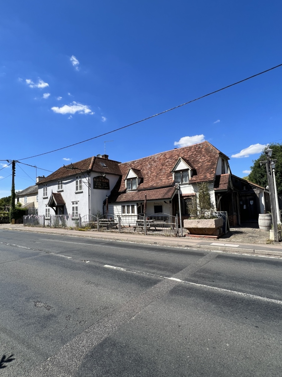
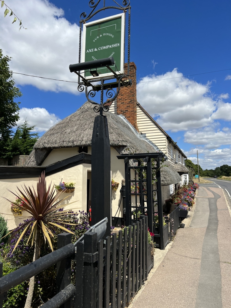
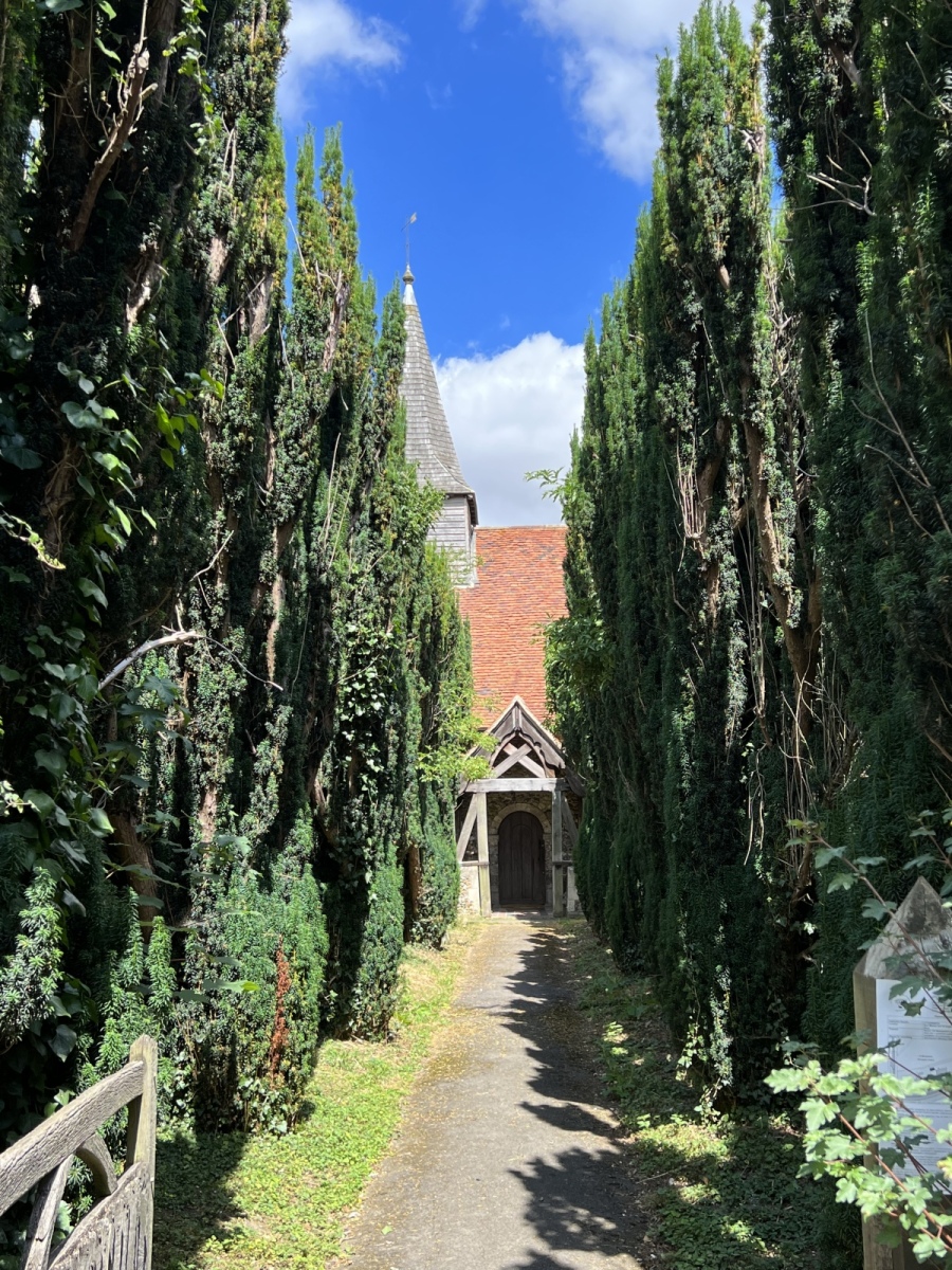
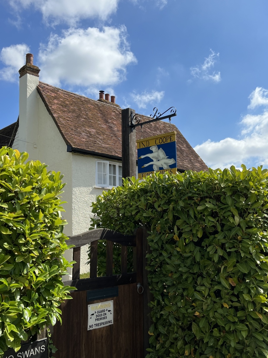
St Michael’s Church at Leaden Roding is another beautiful old building, with a double row of tall connifers leading up to the door. All of the eight Roding villages have fascinating churches each with their own unique history and this one is no exception. Appearing in records from 1090, St Michael’s has had much work in the intervening centuries but retained many original features. One of the bells in its tower is rumoured to be the oldest church bell in Essex. Inside there is a wonderfully light and airy feeling as the spacious windows allow in maximum daylight. The church organ here has a number of unusual features hinting that it has seen work over many era’s. The well kept churchyard has a most welcoming atmosphere and features a number of very old and interesting memorials. The church here is in a very familiar Norman style frequently seen around the Essex countryside. Leaving St Michaels, I exit the churchyard turning left to pick up public footpath number 1 (Leaden Roding) where I head north for around three quarters of a mile across open farmland keeping the hedgerow to my right, before eventually exiting onto Dunmow Road just south of the Roundbush Green recreation ground. Here I stay on Dunmow Road heading north for around a mile. Passing the Axe and Compasses public house around halfway on my left, I continue along Dunmow Road then pick up public footpath number 19 (High Roding) into the fields on my left which I follow north along the field edges for around 800 yards. This takes me to High Rodingbury Farm. Exiting onto the track opposite the farm I turn left to find All Saints church at the end of the track on my right.
High Roding
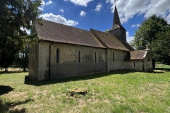
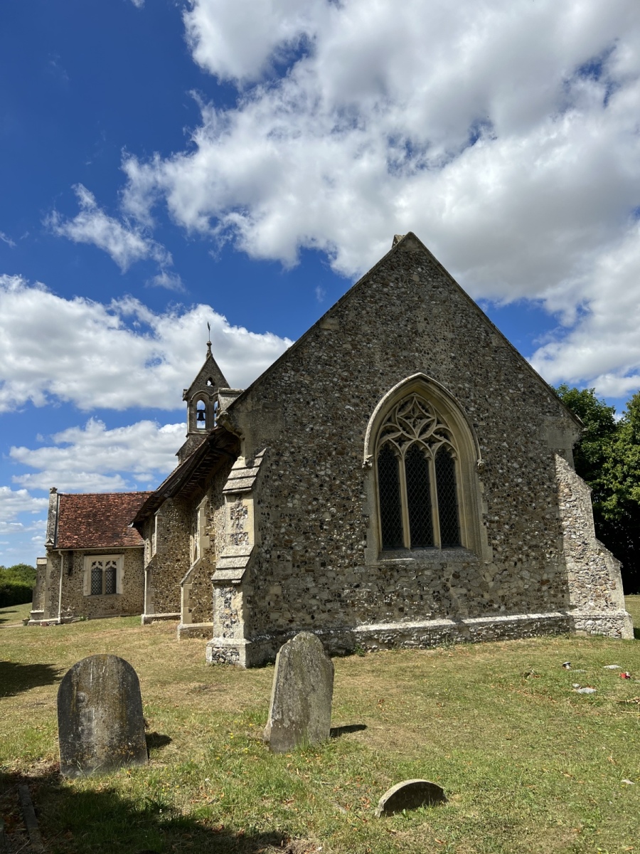
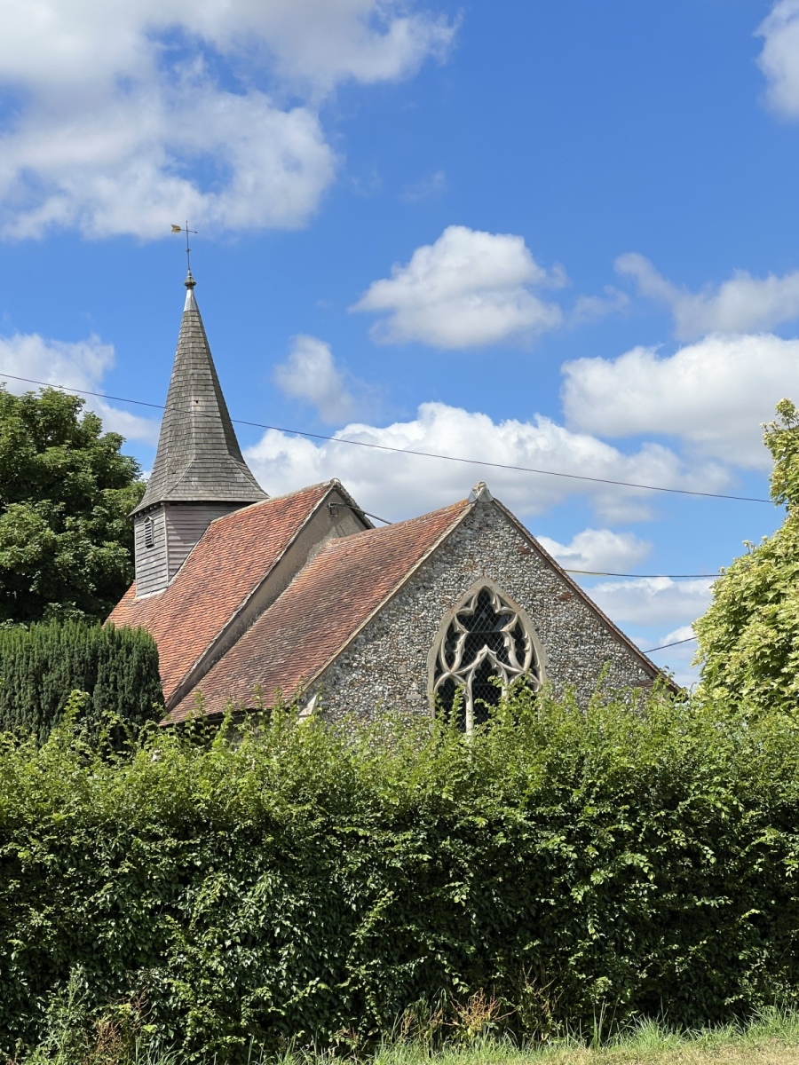
All Saints church at High Roding is once again a familiar looking building with its own place in the history of the Rodings. This building dates from the 13th century and records show Thomas Cromwell had involvement in running the parish. There is speculation that High Roding may have been among the first churches in the country to be given a Bible in English. One curious and notably different feature of this church is its double bellcote which replaced a spire destroyed by lightning. This is a fairly large building in a classic style of its period which interestingly like St Botolphs church in Beauchamp Roding finds itself situated away from the main village in an isolated spot on farmland. One theory is that the original village may have been built around the church but abandoned during the plague. Standing on slightly higher ground the church has a commanding view over the surrounding countryside to the south. Leaving the gate of All Saints I cross the lane to pick up public footpath number 32 (High Roding) immediately opposite the church and follow this south for around 750 yards before turning right to follow public footpath number 42 (High Roding) for around 355 yards, then turning left heading south on the same path which brings me out onto a track. Here I turn right then left down a dead end lane leading to Aythorpe Roding Hall and Church. Around 200 yards down the lane I find St Mary’s church at Aythorpe Roding on my right.
Aythorpe Roding
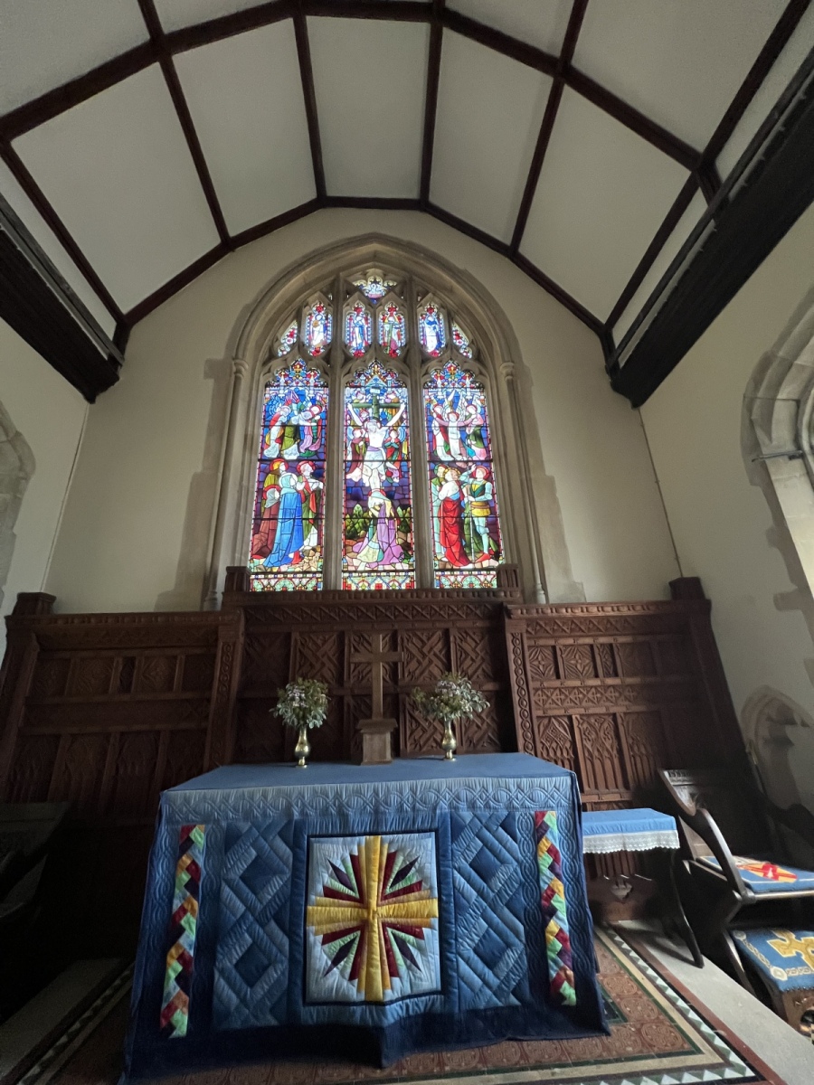
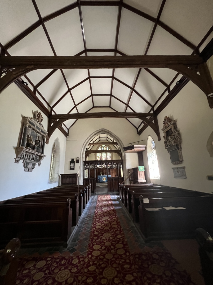
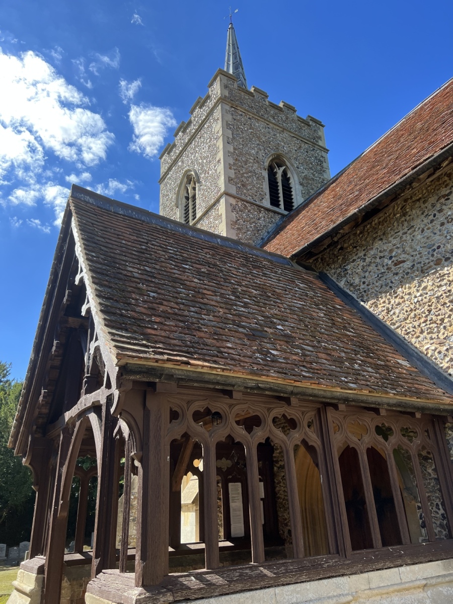
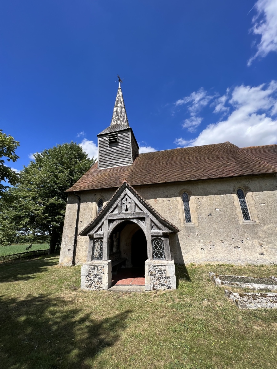
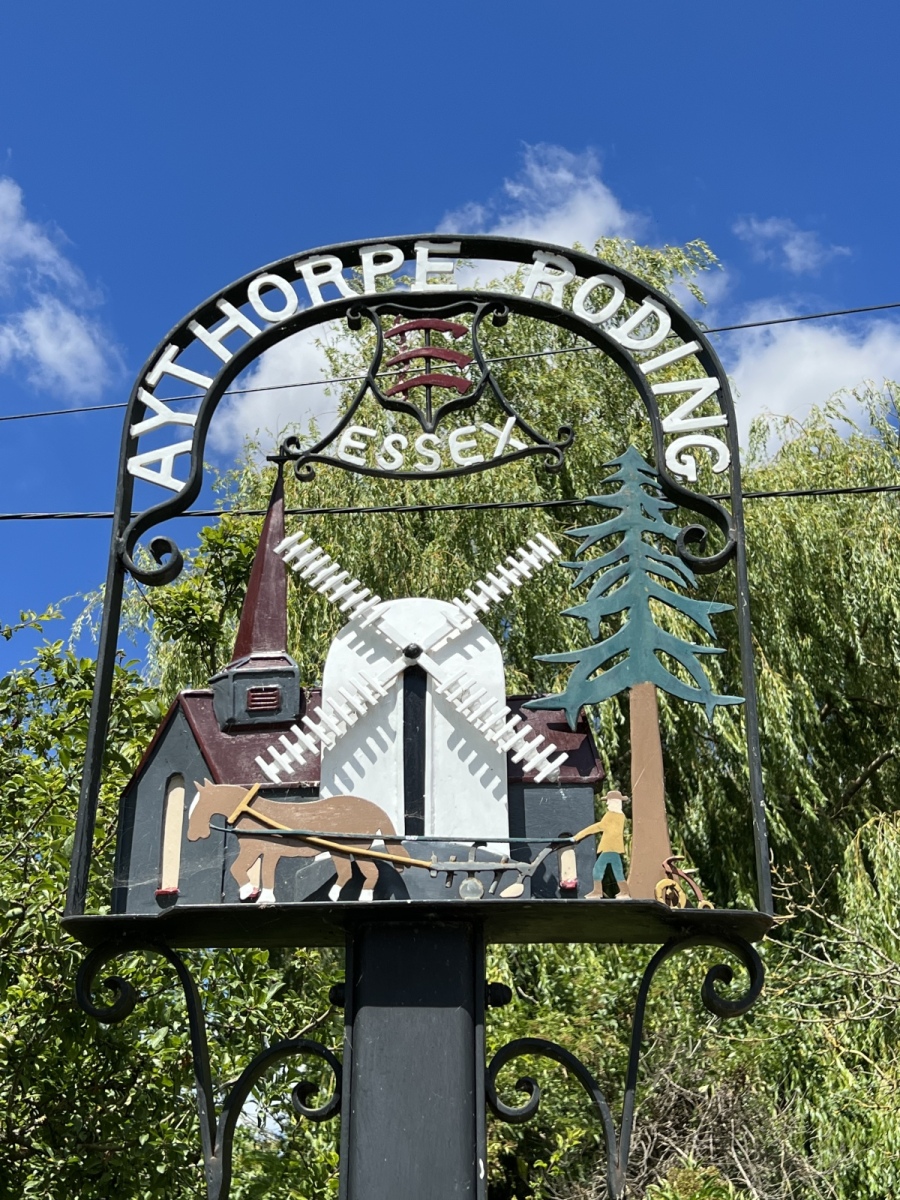
St Mary’s at Aythorpe Roding is another wonderful rural church oozing with countryside charm, again in a familiar 13th century style and packed with original features. This church is described as being relatively dark inside but on a bright summer day appears beautifully light and airy and has a very personal feel. Like many of the churches on this route it sits in isolation from the village and there is the same speculation that the original village may have been centered around the church but abandoned during the black death, indeed some evidence of medieval building foundations appear to point toward this theory. The bell tower here is weather boarded which seems to be a repeat feature in this part of Essex, a low doorway also survives as the main entrance giving the building an almost quaint feeling as you enter. The churchyard here is quite spacious as would be expected of a place of worship surrounded by open countryside in isolation of the village it serves. Leaving the church I head toward another very old building which is perhaps one of the most well known to locals, the Aythorpe Roding windmill. Turning right out of the church I walk around 150 yards to the farm buildings ahead where I take the second footpath on my left, public footpath number 3 (Aythorpe Roding) which I follow for around half a mile along the field edge. To my left across the fields opposite the cricket ground I catch my first tantalising glimpses of the Aythorpe Roding windmill.
Aythorpe Roding Windmill
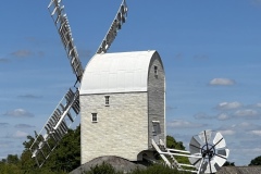
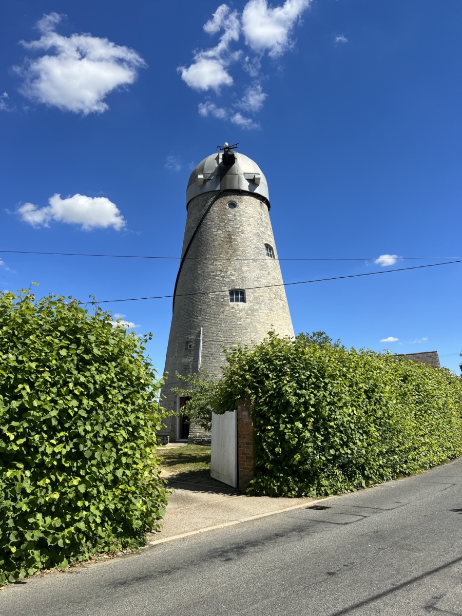
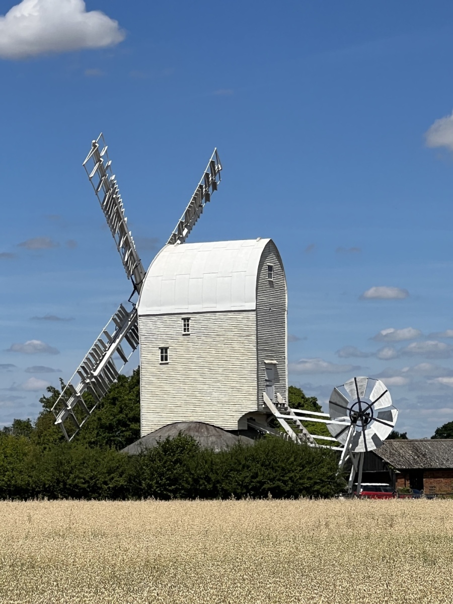
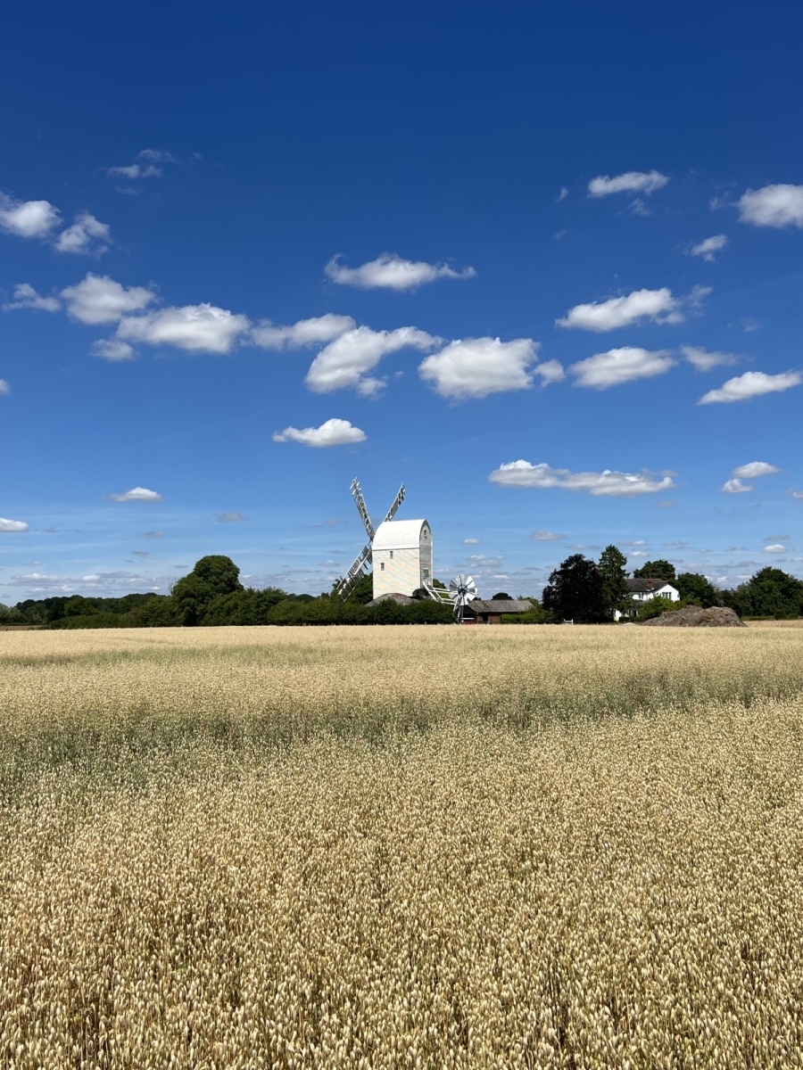
This splendid building is not the only windmill in the area but is most certainly in the best condition. Situated at the end of Gunners Green, this is said to be the largest remaining post mill in Essex in working condition. Some sources refer to it being built on the site of a 16th century windmill but the current building dates from the 18th century possibly around 1770. This is built on a framework which can be moved to face the wind for maximum productivity and was restored to working order in 1981 by Vincent Pargeter for Essex County Council. Some sources list a number of previous named millers at the site. There have been a number of modernisations to preserve the windmill in its current spectacular condition. Leaving here I turn right through the hedge following public footpath number 5 (Aythorpe Roding) into the cricket ground and following the footpath south along the edge of the pitch until I exit onto Drury Lane opposite Oak Cottage, where I turn right following public footpath number 7 (Aythorpe Roding) west for just over half a mile until I reach the River Roding. At this point the river is a tranquil stream barely recognisable from the river we are more familiar with further south in the district. Here I turn left remaining on public footpath number 7 (Aythorpe Roding) alongside the river for around 500 yards before turning right onto public footpath number 4 (Leaden Roding) heading west along the rear of Langlands and up the driveway of the house out onto the lane. Here I turn right, then left along the rear of Windmill View along public footpath number 26 (White Roding) following the field edge for around 300 yards before going through the next hedgerow and turning left to follow public footpath number 8 (White Roding) along the field edge for around 345 yards. I then turn right along public footpath number 7 (White Roding) and remain on this path for around half a mile along the rear of Greylands Farm, turning left to follow the remainder of the path out onto Stortford Road just beside Brett’s Farm shopping village. Here I turn right walking past the shopping village, then left down Church Lane. Around 180 yards down Church Lane I turn right following the narrow track to St Martin’s church at White Roding.
White Roding
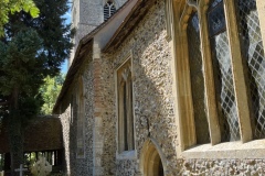
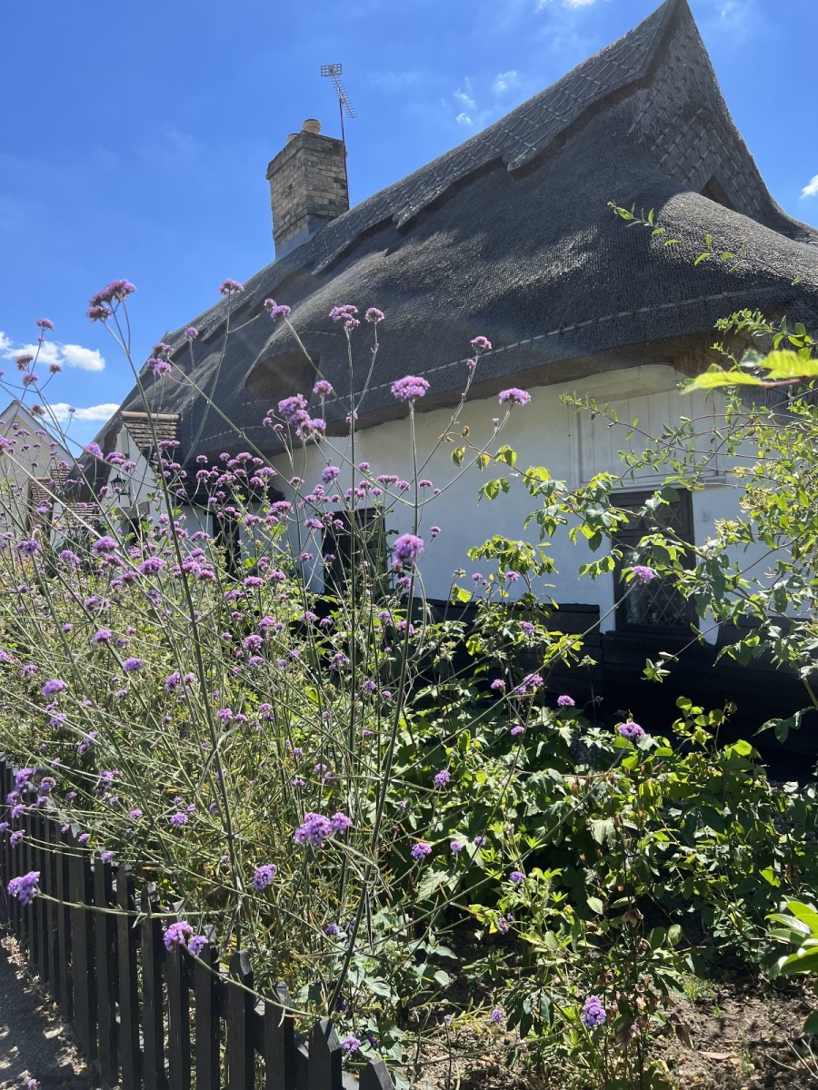
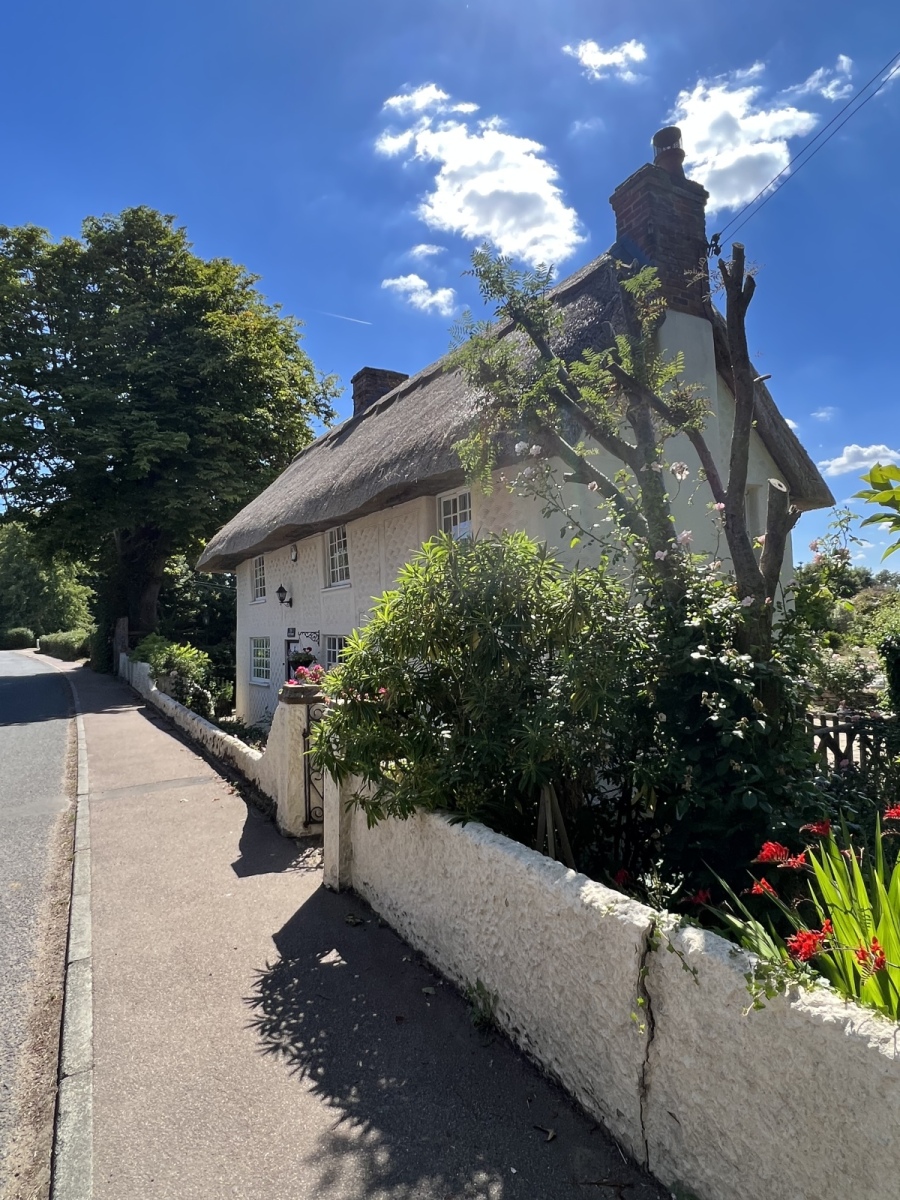
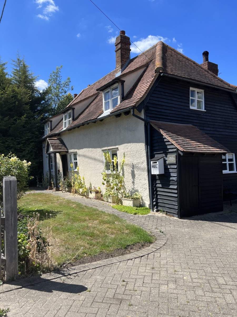
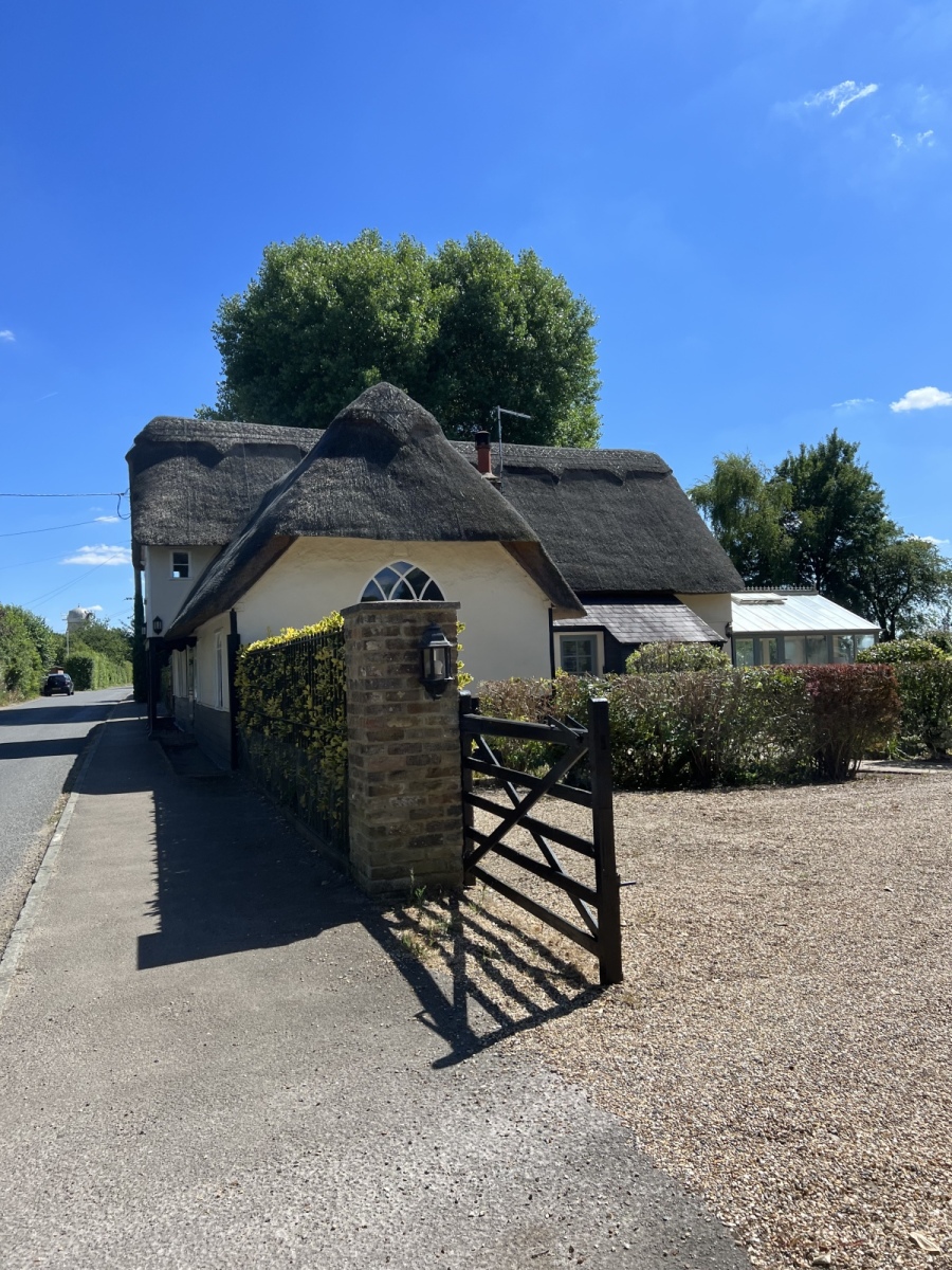
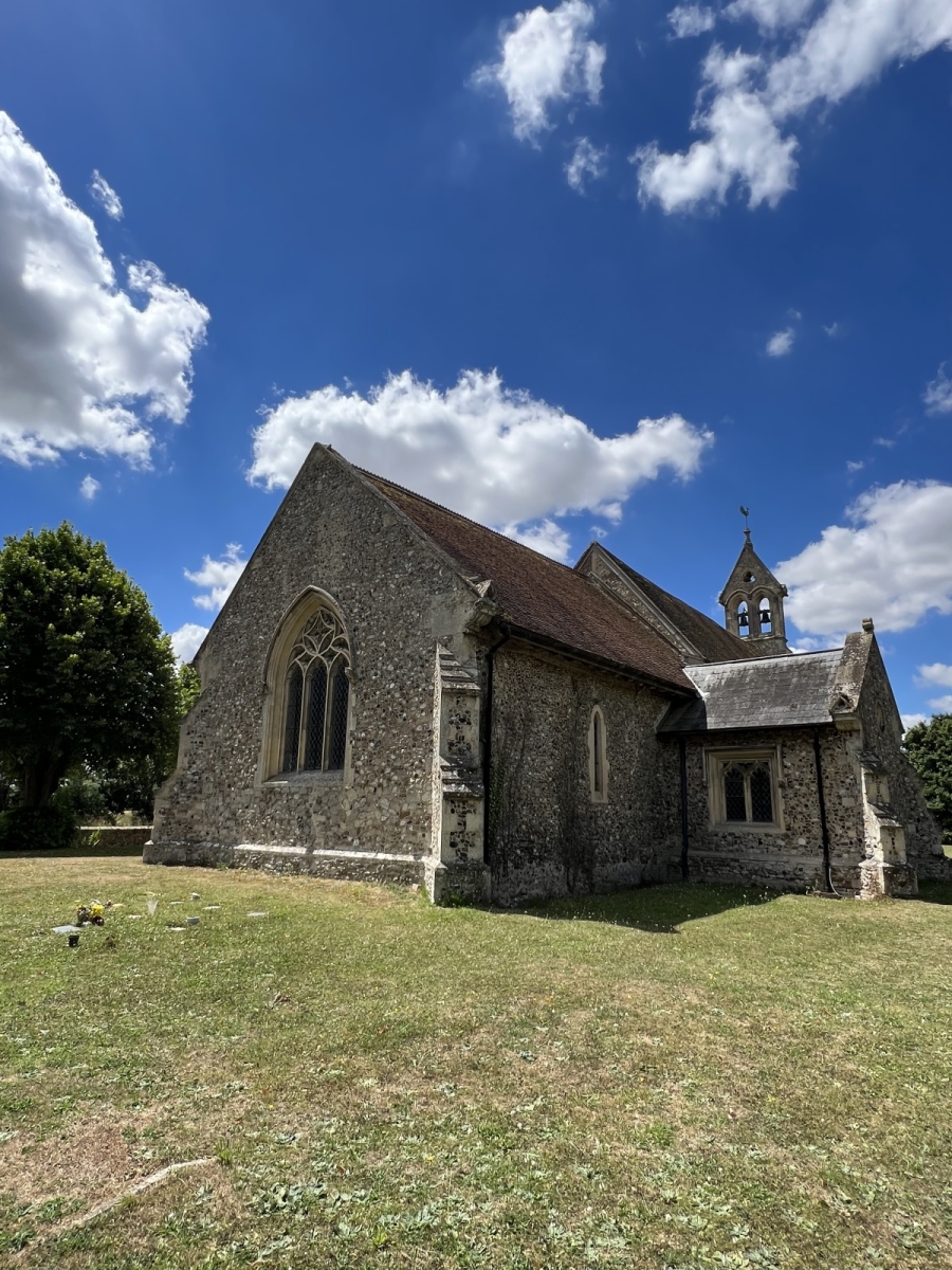
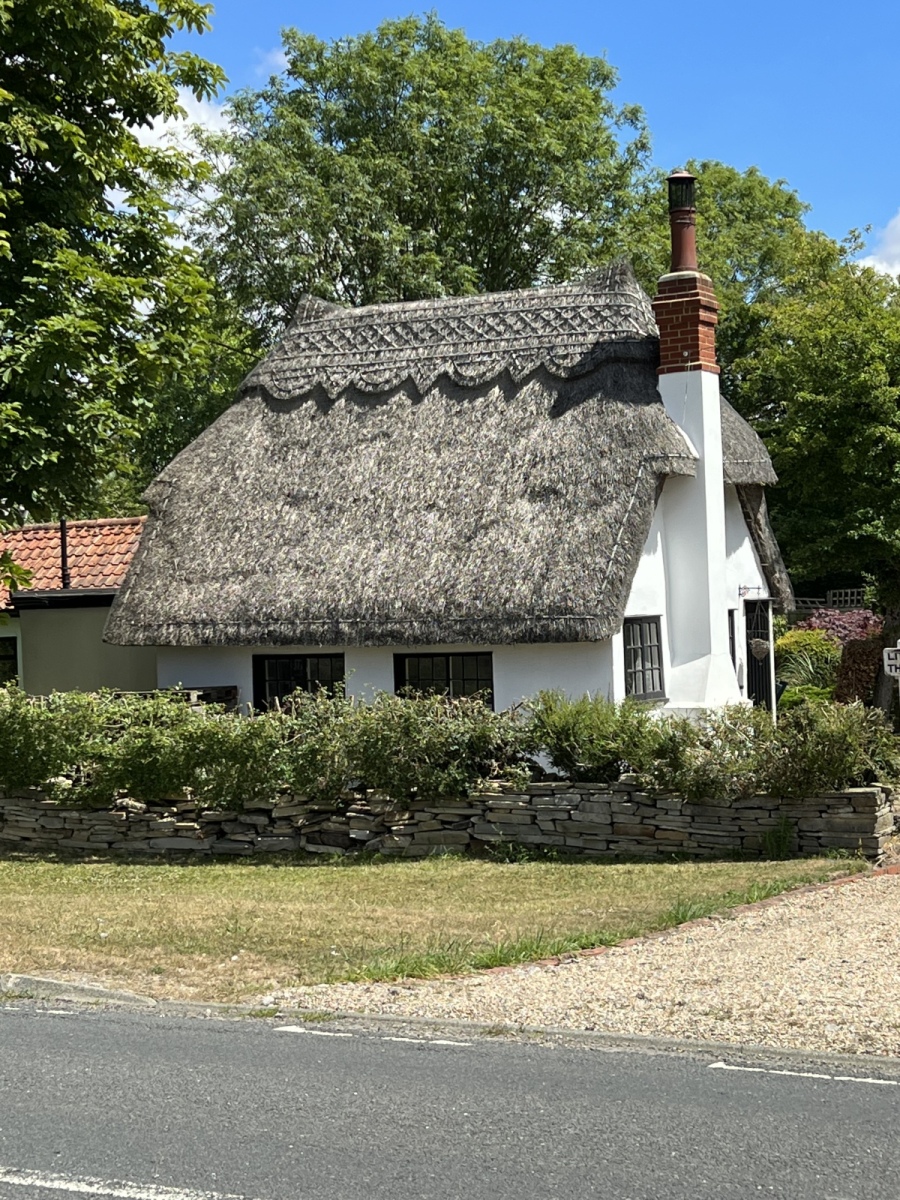
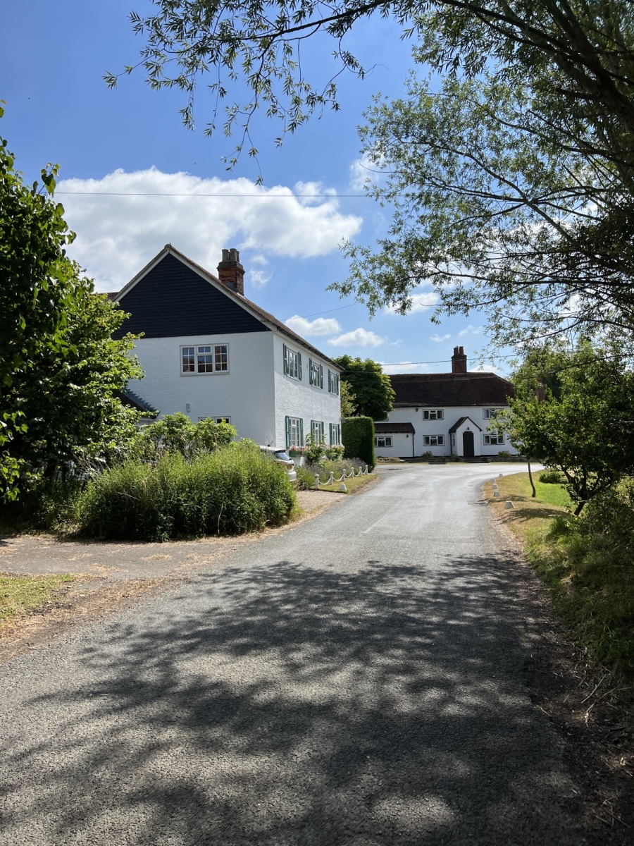
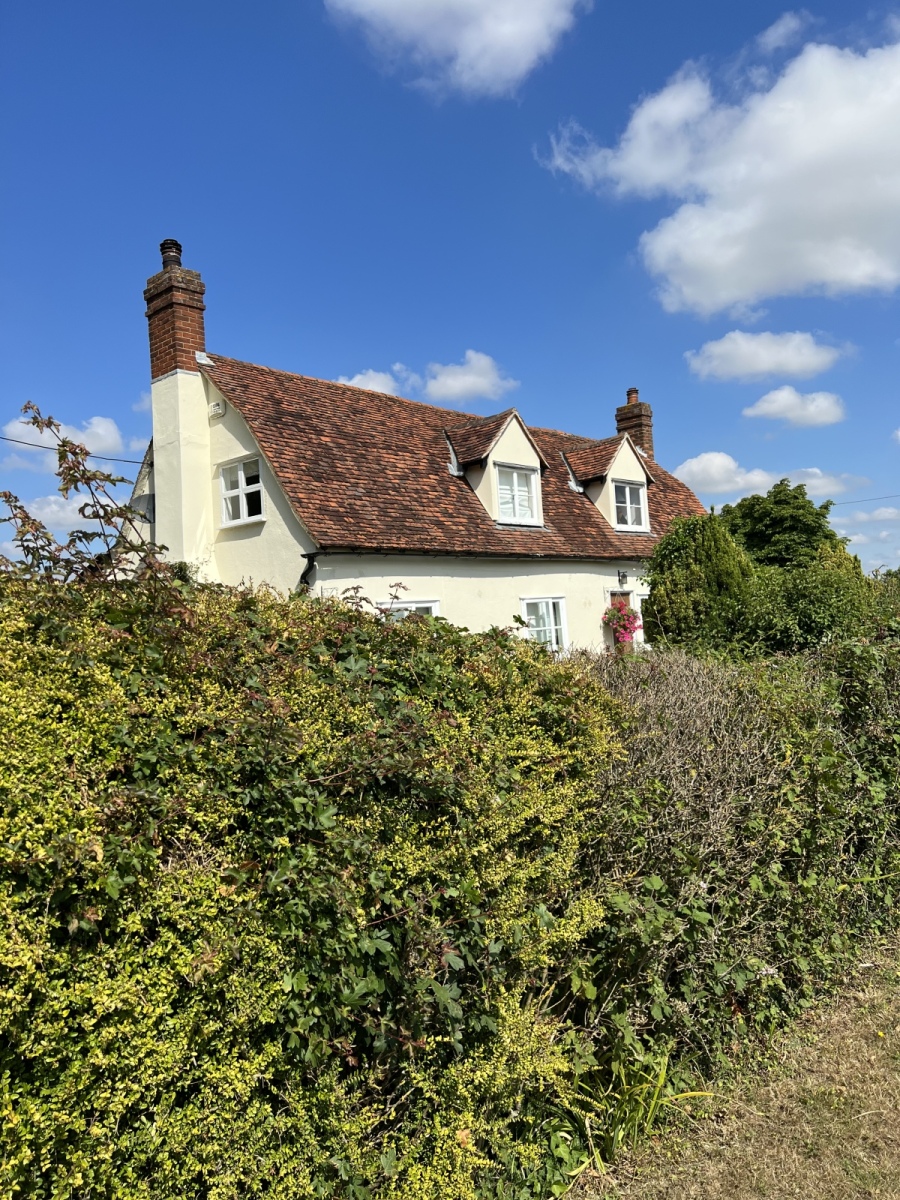
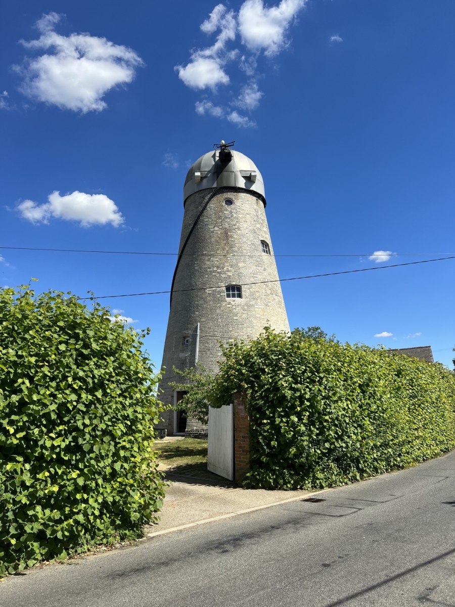
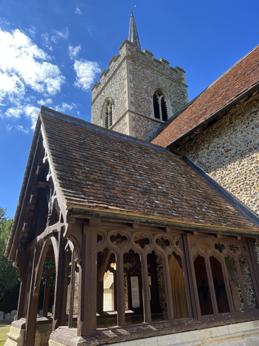
This particular part of White Roding is incredibly picturesque. Along the lane numerous chocolate box thatched cottages and weather boarded houses survive, almost giving a feeling of stepping back in time. Toward the end of the lane on the left stands the imposing brick built tower of another windmill. This one is on private land and no longer has sails making it appear almost sad in its redundant state, although it does seem to have use as an outhouse. St Martin’s at White Roding is another fine Norman church which has features from many intervening centuries, including some very well preserved Roman brickwork. Some original 13th century windows and doorways remain here in remarkable condition, one such doorway still houses a 13th century wooden door with its original ironwork intact. The spire was rebuilt in the 19th century but contains bells which date from the early to mid 17th century. There is much evidence of alterations inside the church including steps cut into solid stone to make a staircase for offering devotions. Unlike other churches along the route, this one seems more central to the village it serves. Going back out onto Church Lane I turn right walking just over half a mile passing Mascallsbury Farm on my right, then on the second bend in the road I turn right into the fields to follow public footpath number 29 (White Roding) for around 220 yards before crossing a footbridge and turning left to follow public footpath number 14 (Abbess Beauchamp & Berners Roding) a short distance then right along the same path heading south straight across the fields to Anchor Lane. Exiting onto Anchor Lane I turn left then right onto public footpath number 15 (Abbess Beauchamp & Berners Roding) which I follow south across the fields to Abbess Roding, exiting onto the lane just beside St Edmond’s church which brings me to the final stop on this wonderful journey around the Rodings.
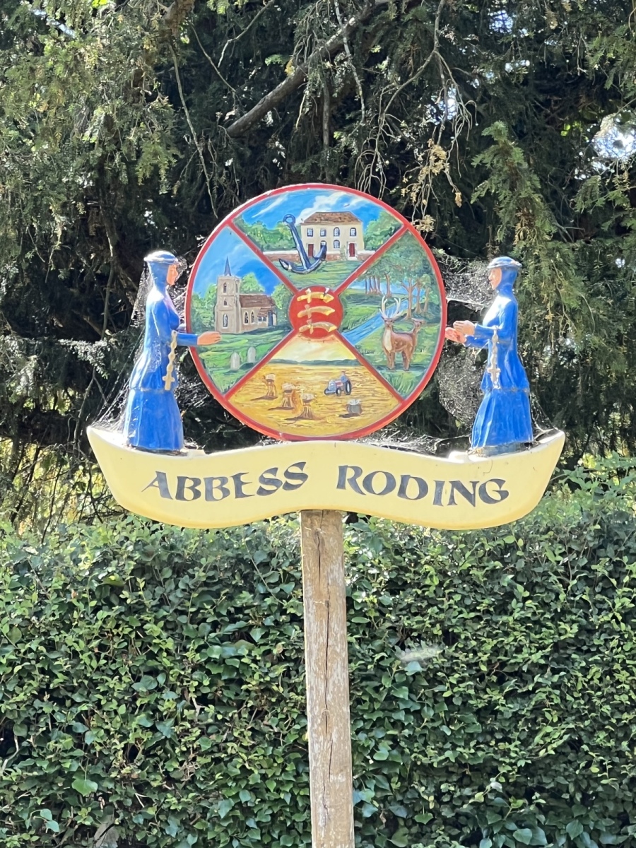
Abbess Roding
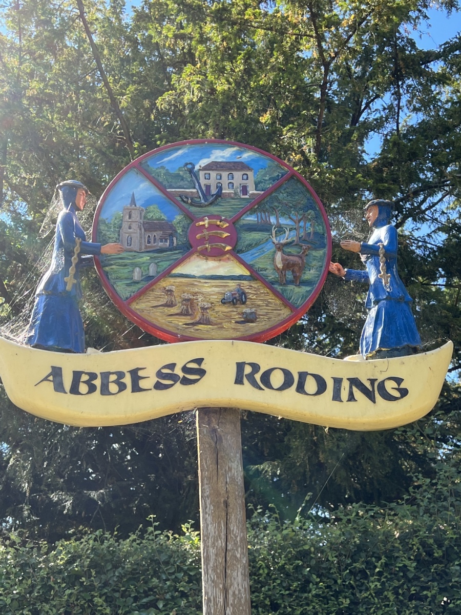
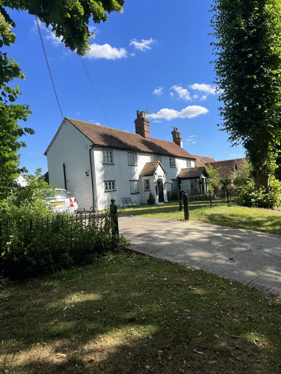
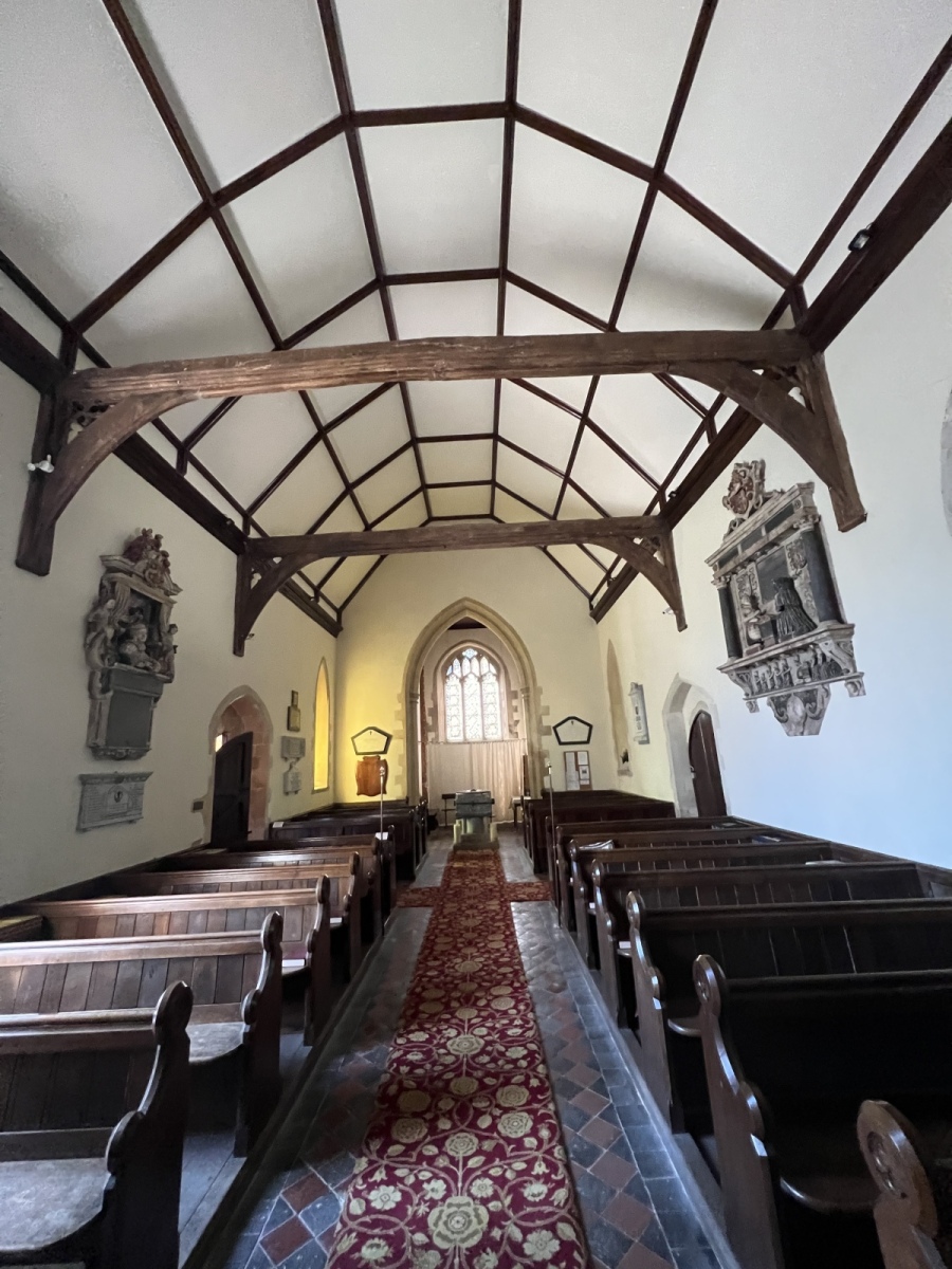
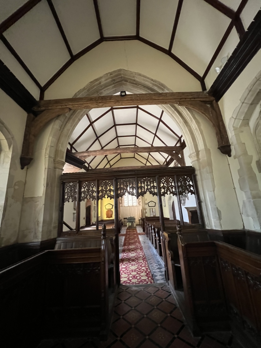
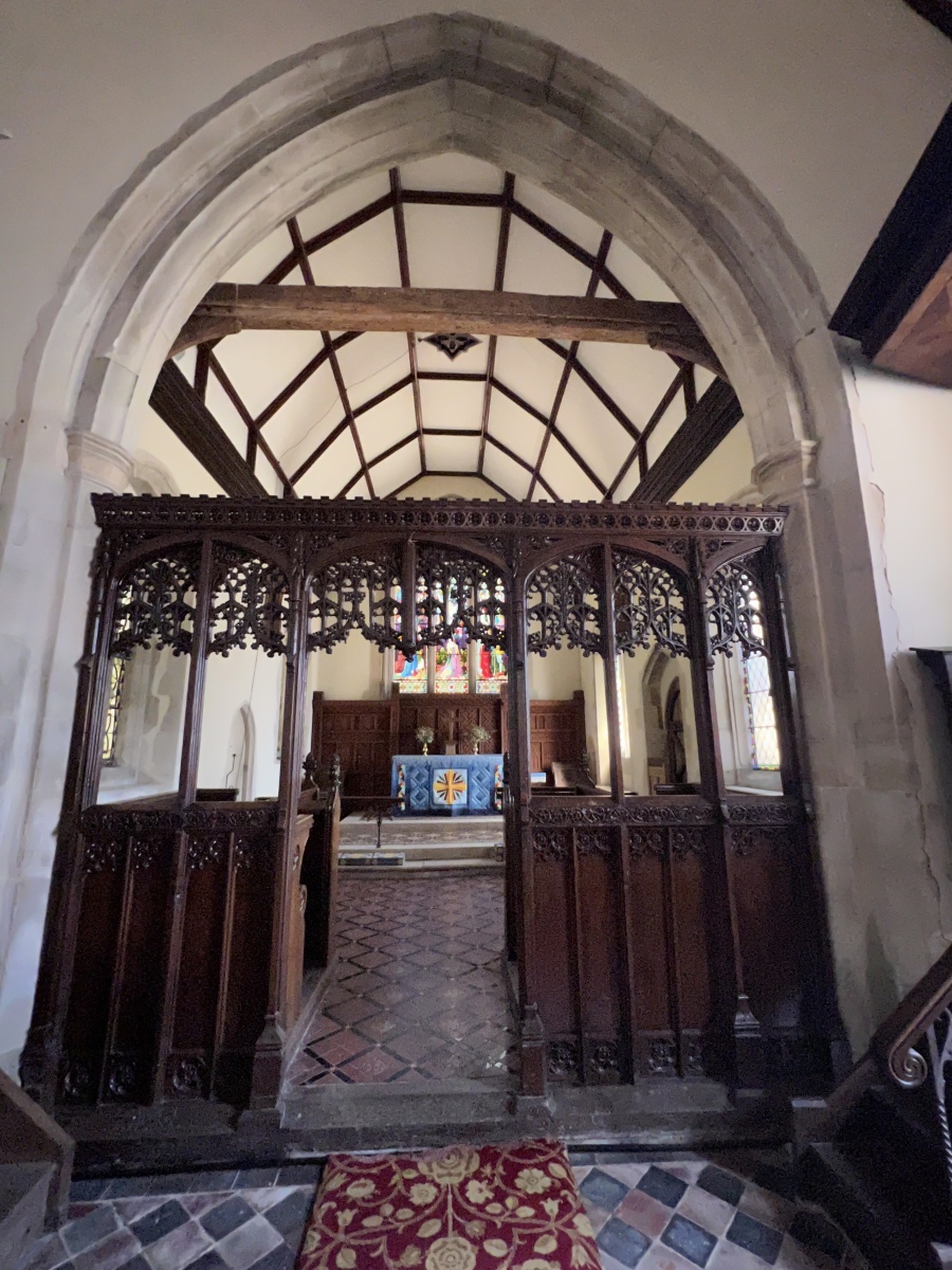
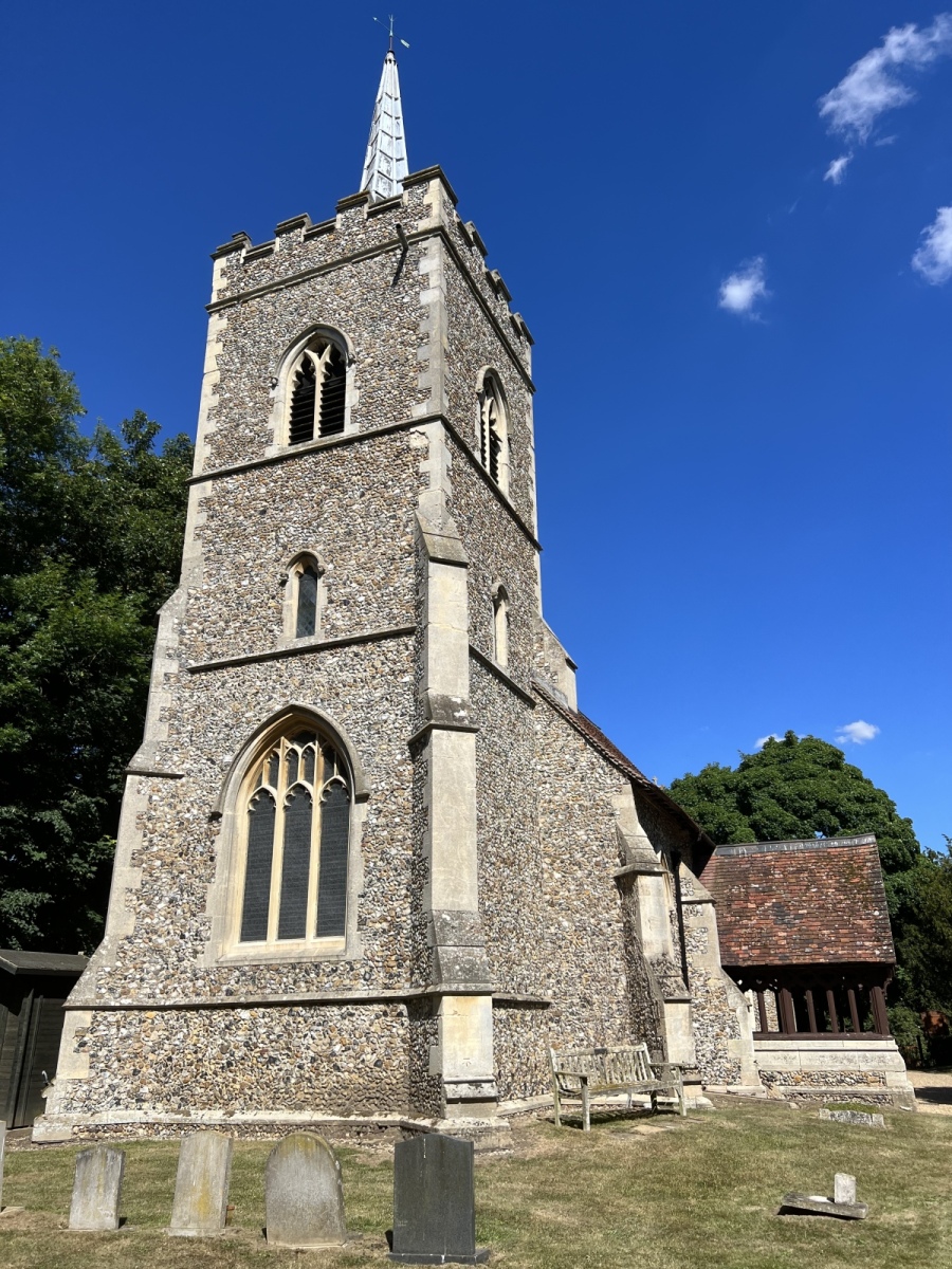
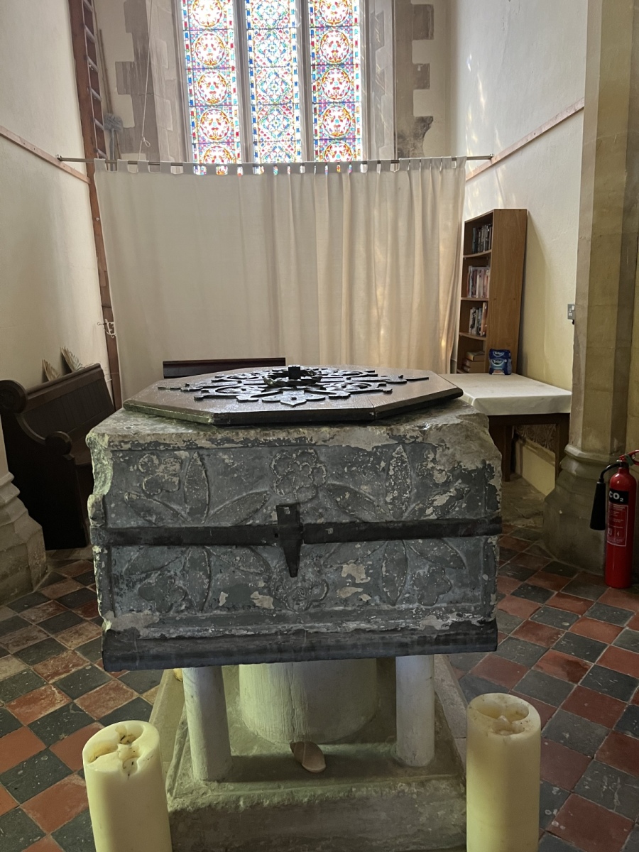
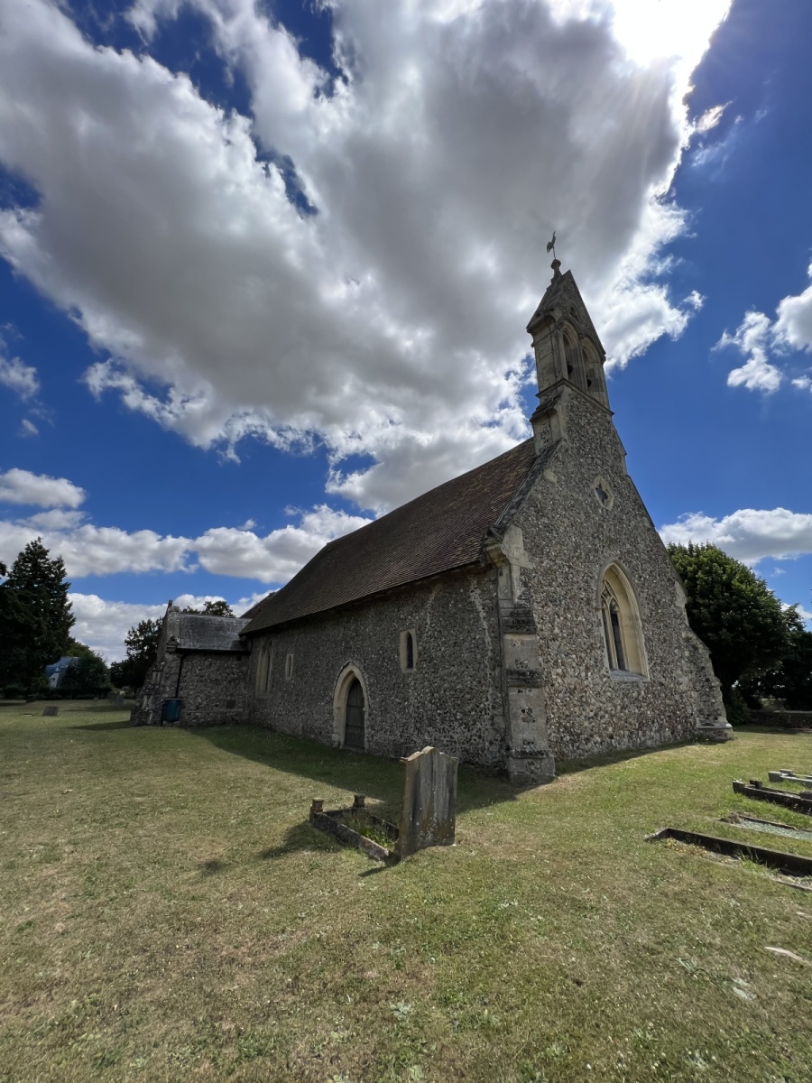
St Edmond’s church at Abbess Roding, like St Martin’s at White Roding sits squarely within the village it serves. The existing building is believed to date from the 14th and 15th centuries but there are suggestions a place of worship may have existed here as far back as the 12th century. Interestingly the area once had associations with the nuns of Barking Abbey. Much of the church has been rebuilt over the centuries but again many original features remain. The previous wooden bell tower was rebuilt in Victorian gothic style and some pictures remain in the vestry of how the church looked before this. This church has a 15th century wooden screen inside which has survived in remarkable condition, the huge Norman style stone font is believed to have been made in the 12th century during the crusades and features carvings from the period. Over the centuries the non Christian origin of these carvings caused unrest leading to the font being painted over in an attempt to hide them, and even being removed from the church at one time. There are three bells in the tower here which still function, the oldest of which was made in 1408. Most of the beautiful stained glass windows date from the 15th century. The churchyard here is a reasonable size and provides a welcome rest while exploring the area. Leaving the churchyard at St Edmond’s I turn right and walk south down the lane for around 450 yards before turning left on the bend just in front of Horsecroft Cottages to pick up public footpath number 67 (Abbess Beauchamp & Berners Roding) which I follow south around the rear of the cottages along the field edge for around 180 yards before turning left to follow public footpath number 69 (Abbess Beauchamp & Berners Roding) east straight across the fields for around half a mile back towards Dunmow Road, as I reach the hedgerow beside Dunmow Road I then turn right, still inside the field following the hedgerow for around 360 yards along public footpath number 20 (Abbess Beauchamp & Berners Roding) which brings me out onto the Dunmow Road. Here I turn left walking north up Dunmow road for just under 120 yards to the junction of School Lane on my right, where this walk began.
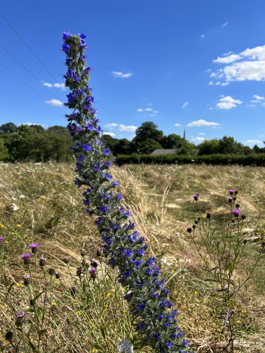
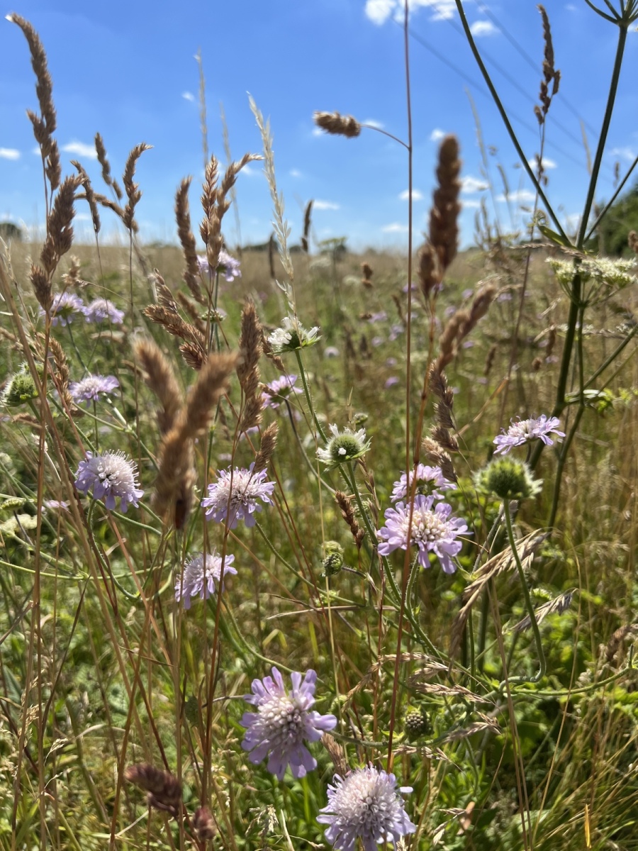
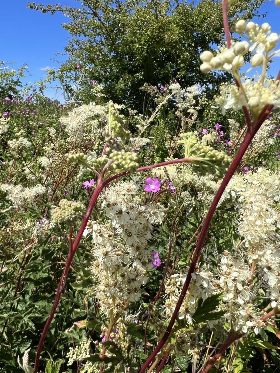
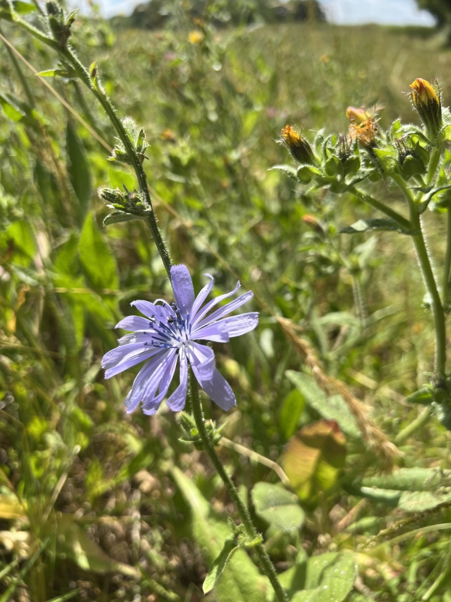
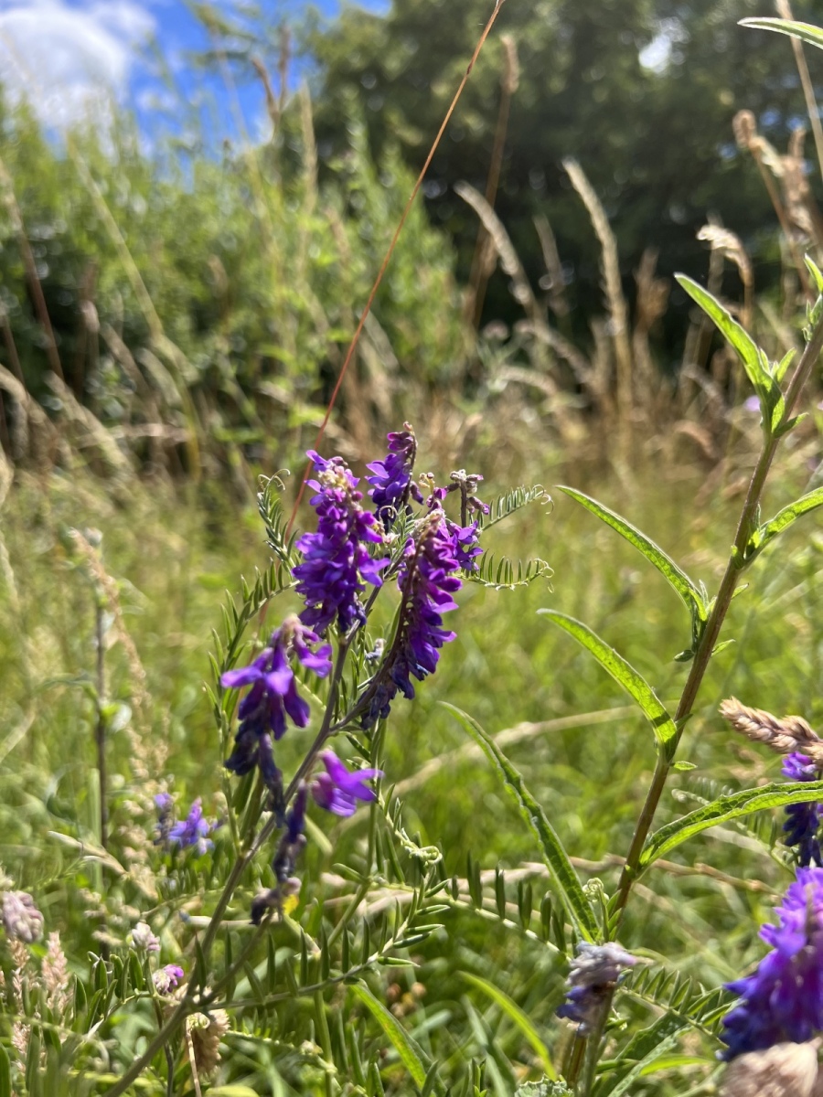
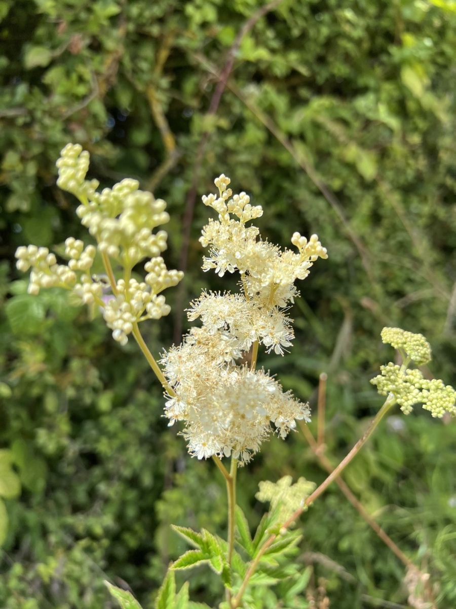
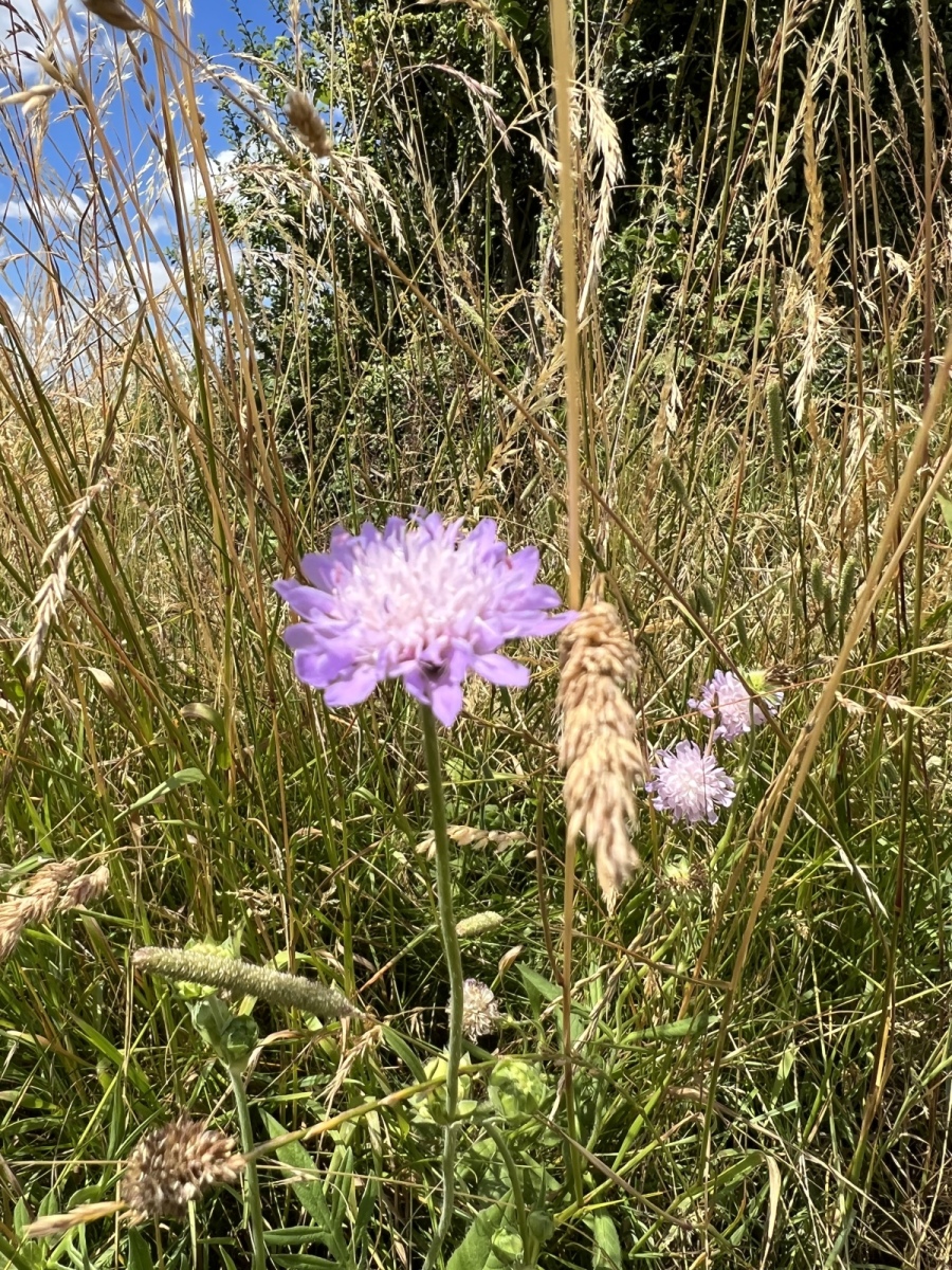
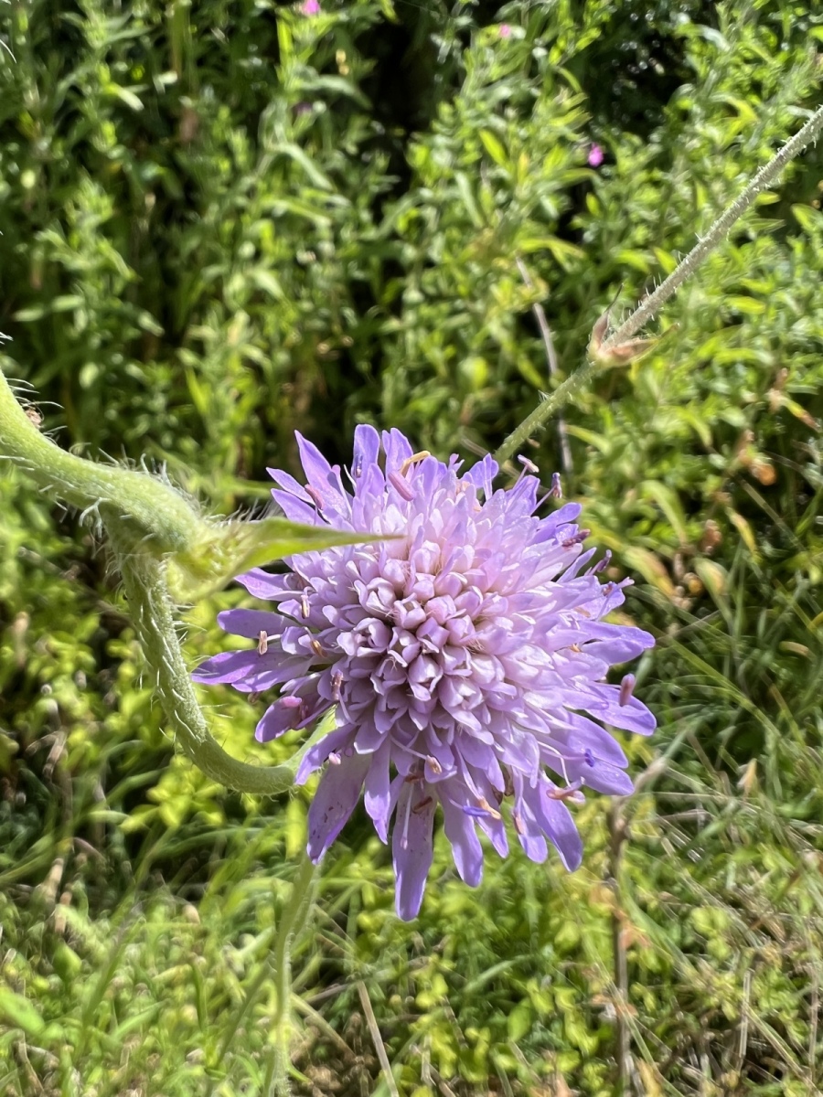
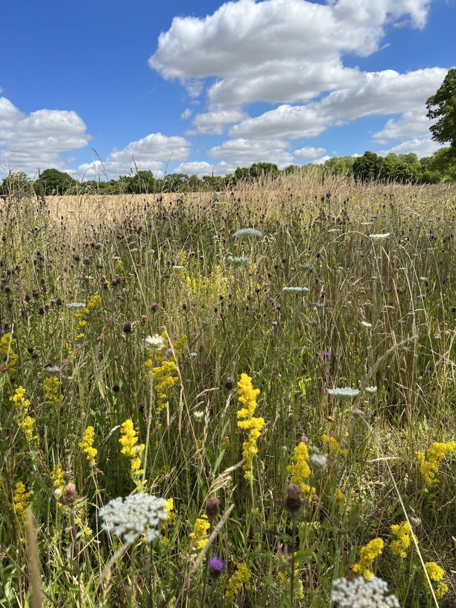
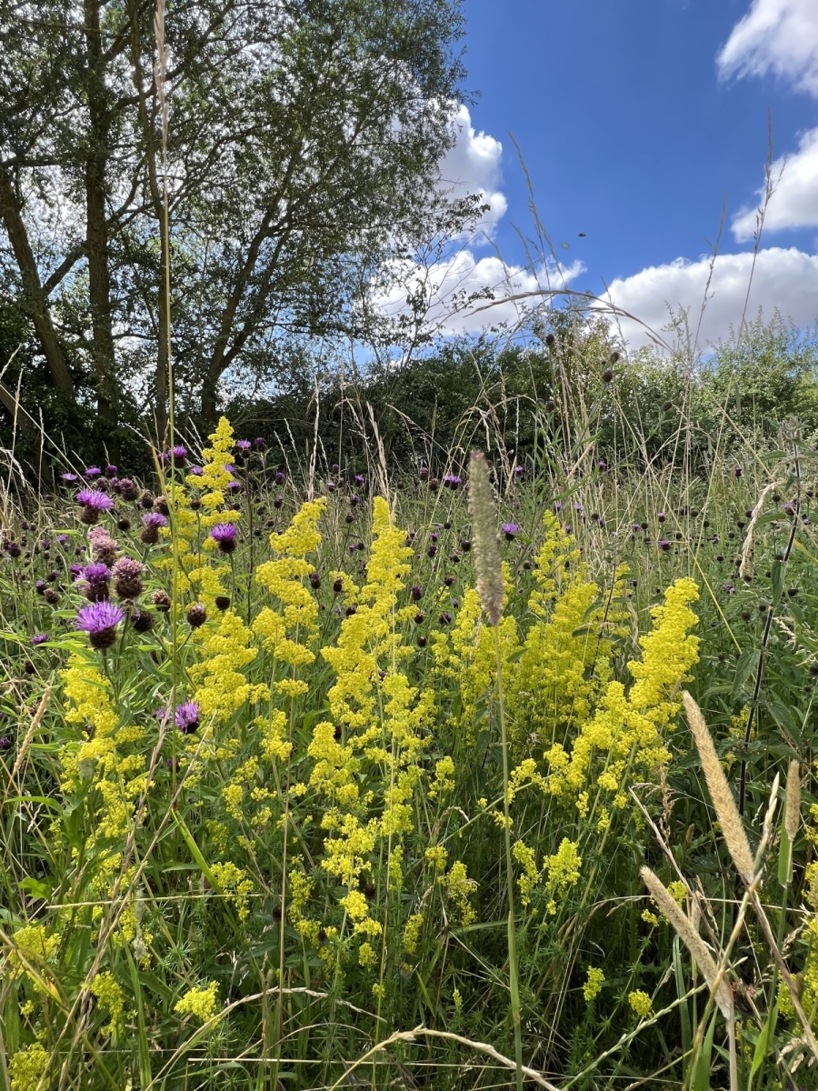
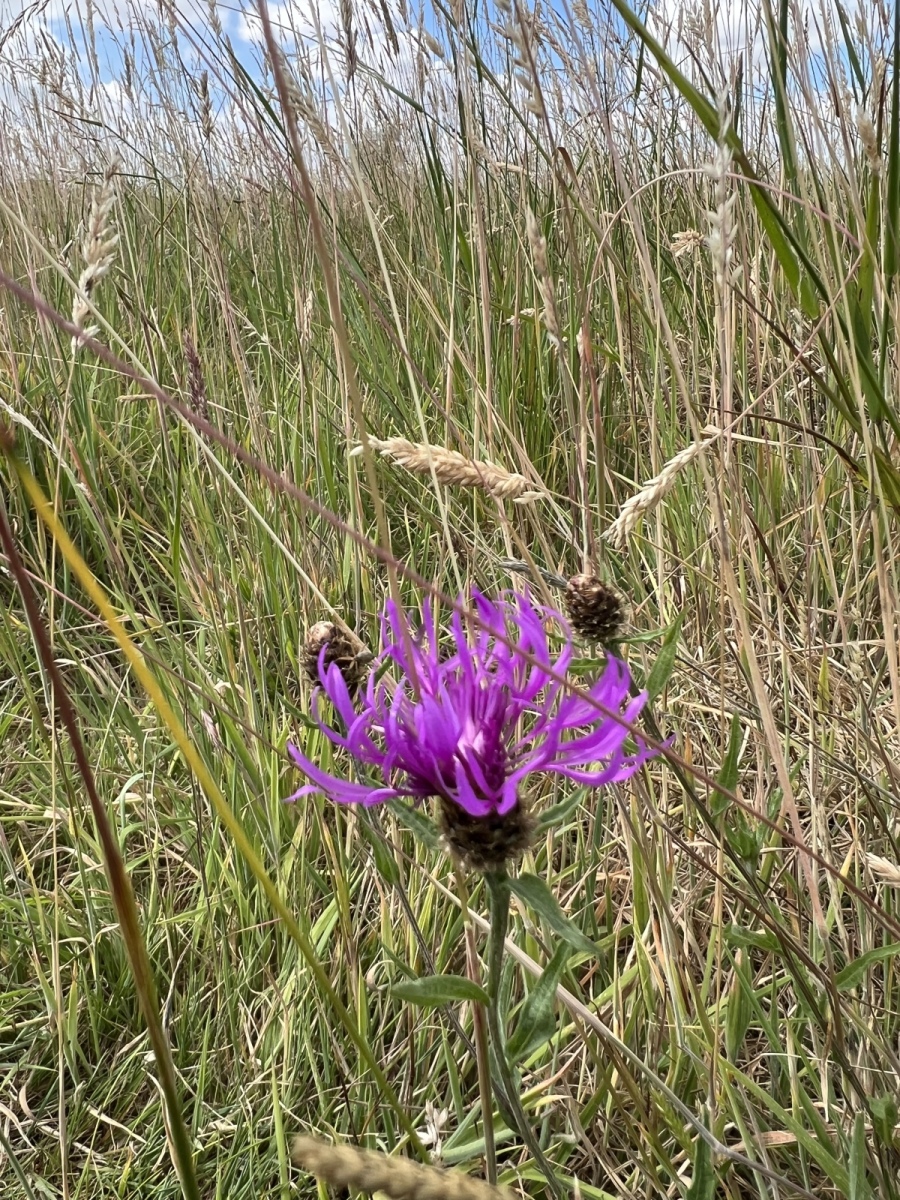
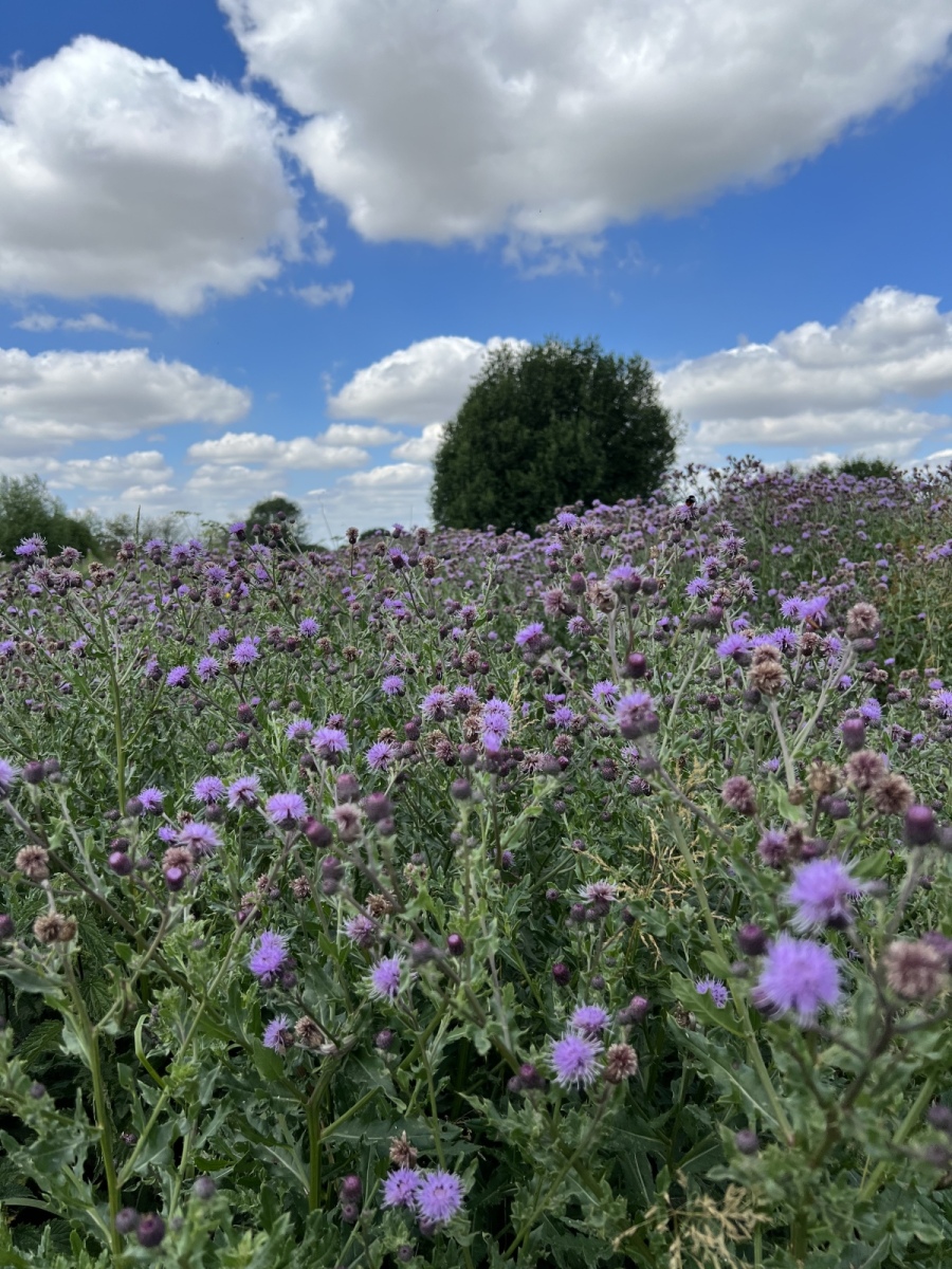
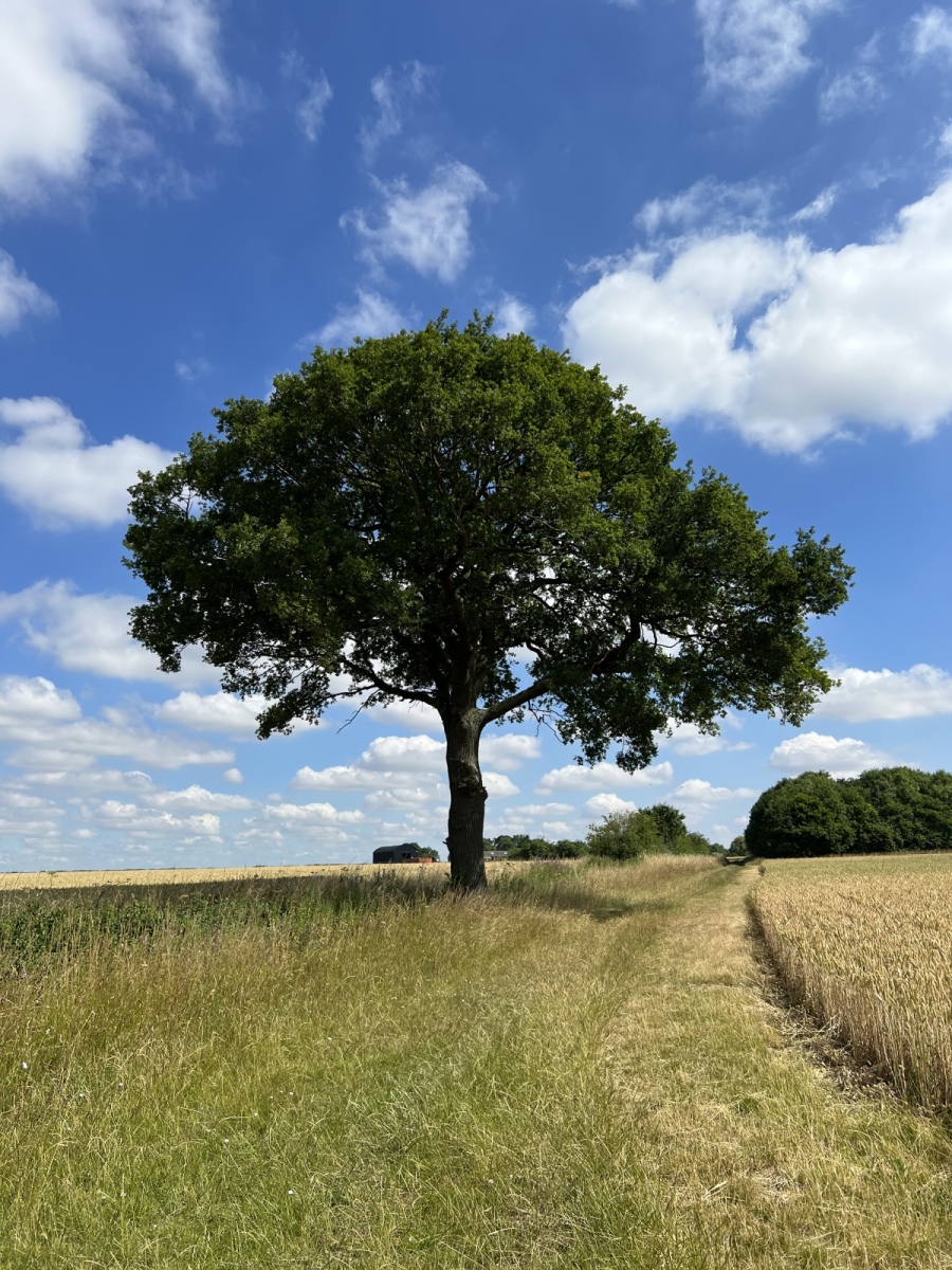
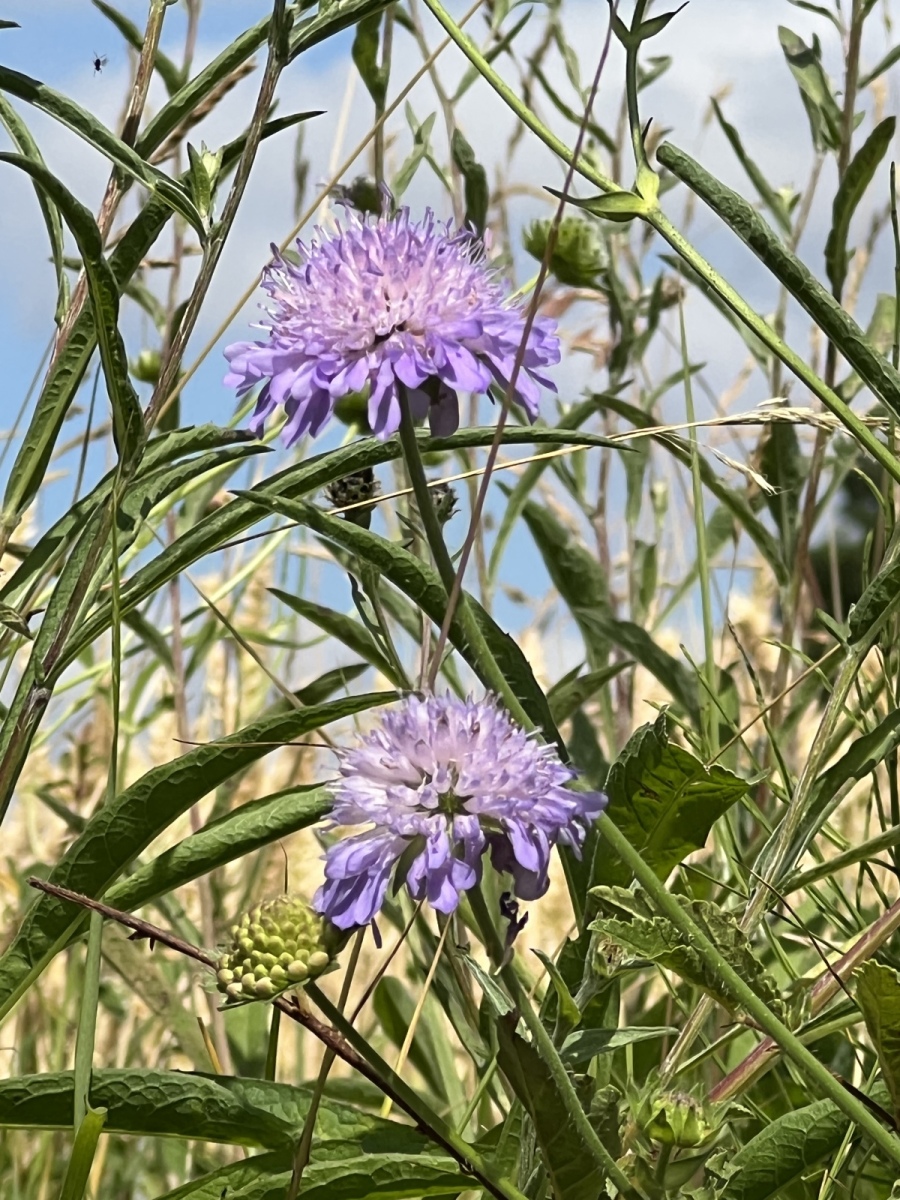
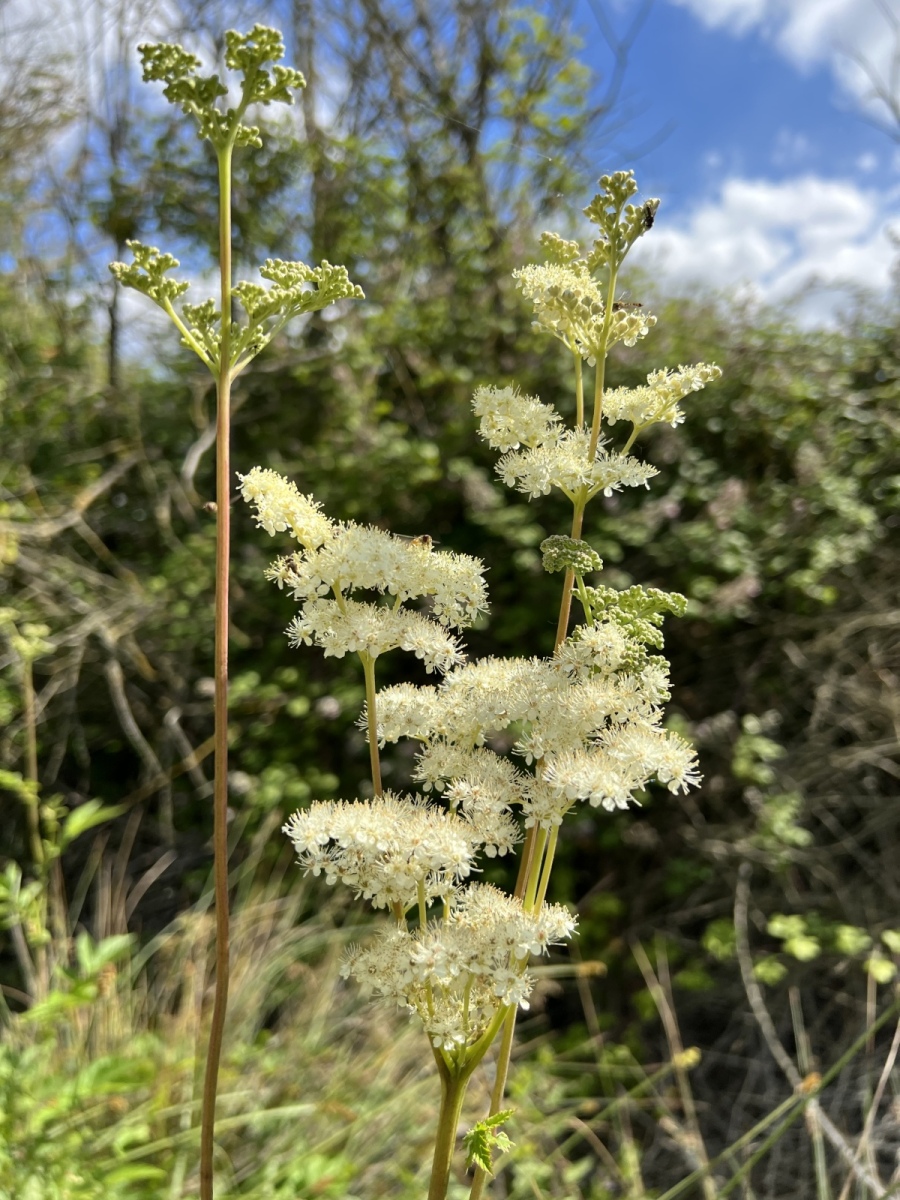
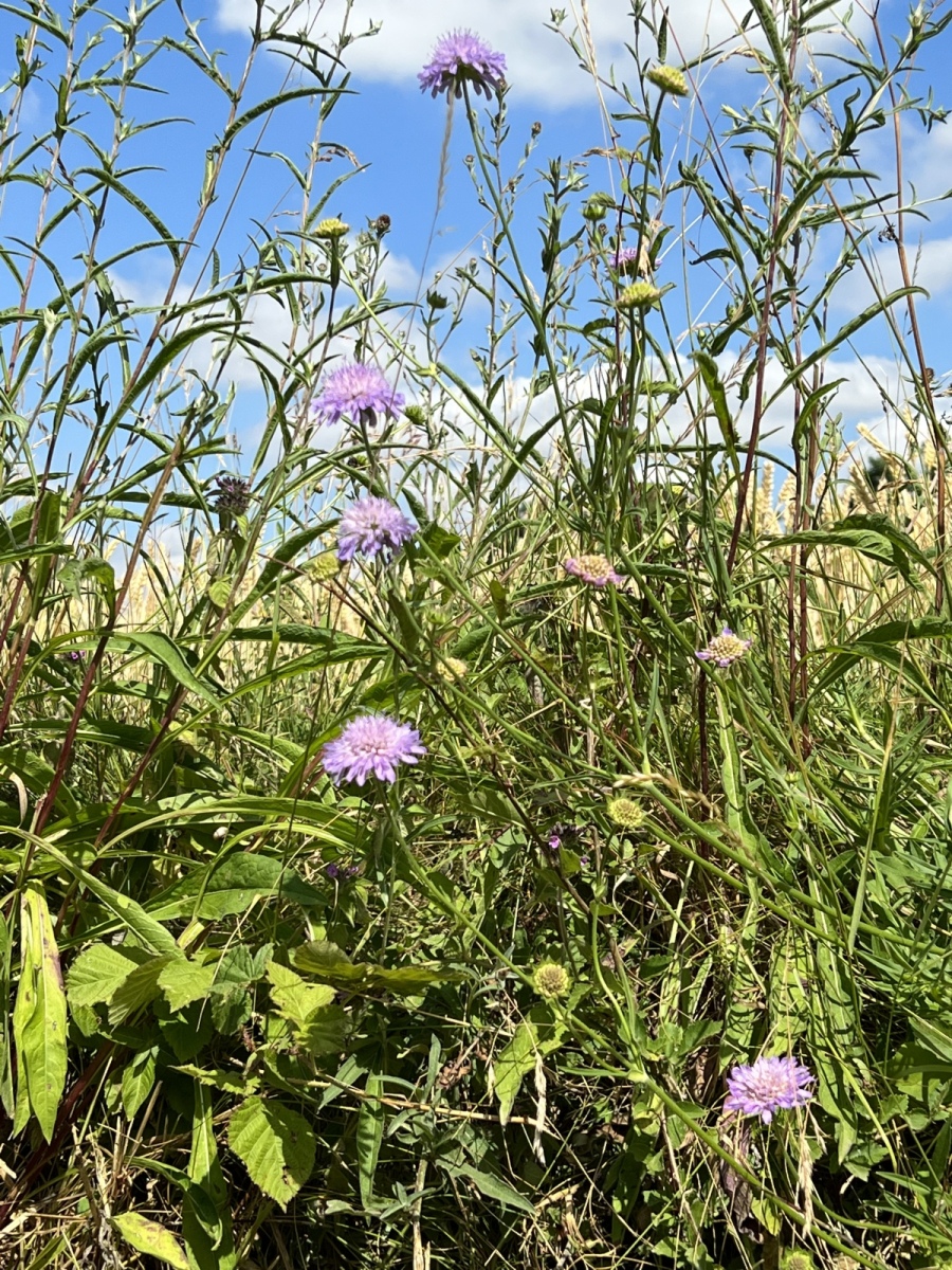
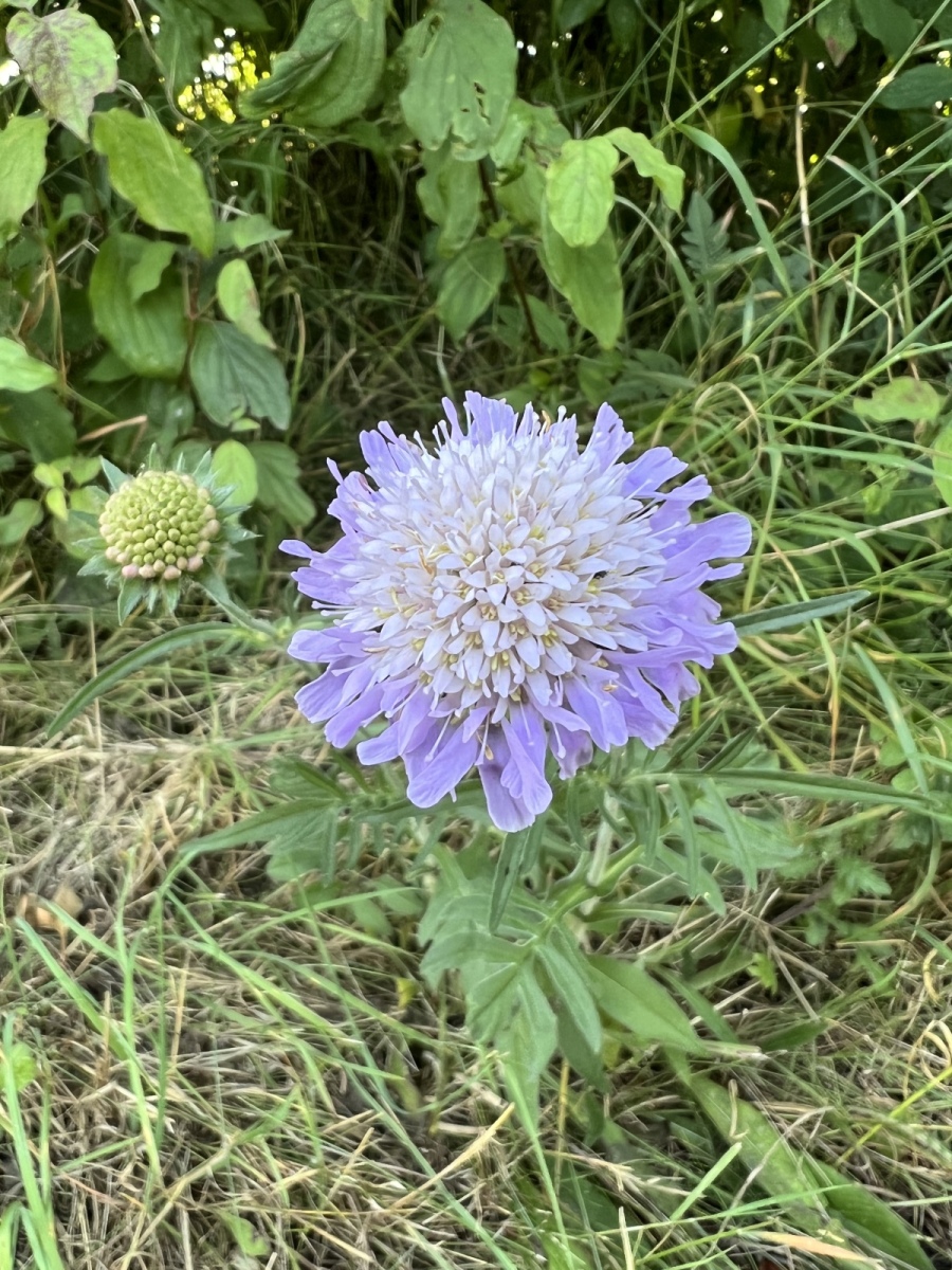
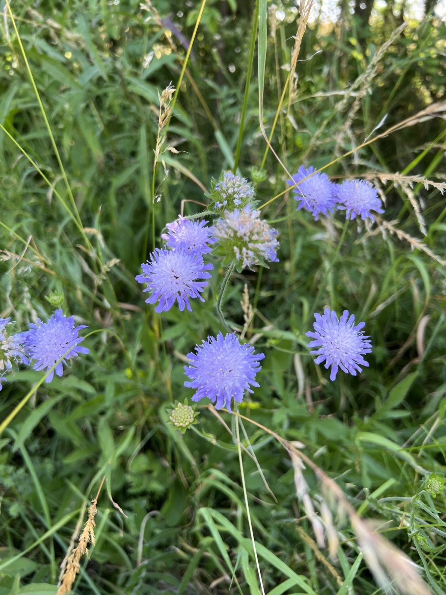
This has perhaps been one of the more ambitious routes which starts in the district then ventures beyond. Much planning was needed to find viable public footpaths, lanes and roads in order to link all eight of the Roding villages together in a roughly circular route. Each of these timeless villages are situated in the most beautiful countryside and have much to offer the novice and more experienced walker. Using the Essex County Council public right of way map it is easy to identify routes around each village and explore them in more detail, or to venture a little further afield to visit more than one of these beautiful villages. As previously mentioned It is possible to zoom in on the map and click on individual paths and bridleways to identify their unique numbers in order to help form a route. At some points it will be unavoidable to use roads and lanes to link between various public footpaths, but for the best part it is possible to spend much of the route blissfully immersed following the pathways through isolated fields and lanes peppered with lilac Devil’s Bit Scabious and sweetly perfumed Meadowsweet. The stunning countryside and endless views between them bring their own visual rewards and demonstrate not only how extensive the Epping Forest District is at its furthest reaches, but also how much more there is to explore in our neighbouring rural districts.
Further reading from external sources:
https://www.greatbritishlife.co.uk/homes-and-gardens/places-to-live/around-the-rodings-6929086
https://www.essexhighways.org/getting-around/public-rights-of-way/prow-interactive-map
https://www.essexchurches.info
https://www.charlesandmike.com
https://www.nationalchurchestrust.org
